
Download
3D Flyover
Add to list
More
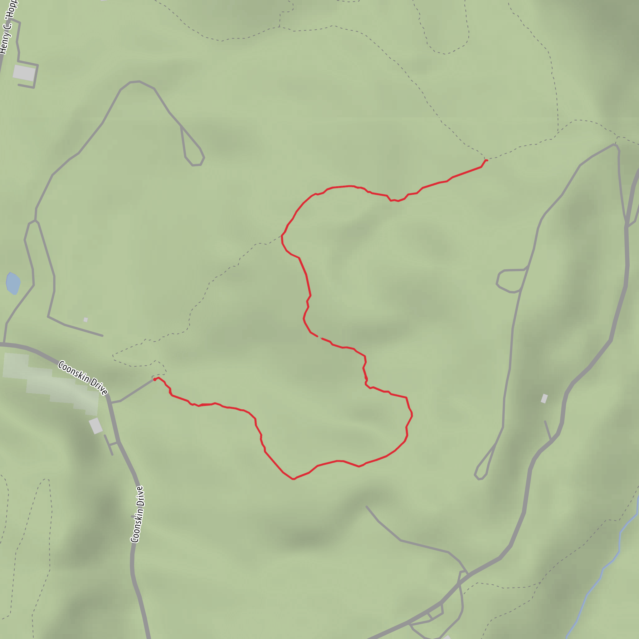
2.6 km
~37 min
67 m
Out and Back
“A vibrant trail tale awaits—share your start point and route type to paint it accurately.”
I’m missing a few key pieces needed to make this accurate (especially the start location and route type), and I don’t want to guess—because “near …” is incomplete and I can’t convert lon/lat to a nearby address or landmark without coordinates.
Send any one of the following and I’ll write the full hike description exactly in the style you requested:
1) Start point: a Google Maps link, a park/trailhead name, or coordinates (lat, lon)
2) Where this is: city/state (or country) if you don’t have coordinates
3) Hike type: loop / out-and-back / point-to-point
4) Optional but helpful: any must-include waypoints (e.g., “turtle pond,” “pine grove,” “lookout,” “bridge”), and whether it’s family-friendly or more rugged
If you paste coordinates, I’ll convert them to the nearest known address or significant landmark and include: - distance + elevation in km/mi and m/ft (3 km ≈ 1.9 mi; 100 m ≈ 328 ft) - what to expect under at least one sub-heading - notable landmarks, habitat/wildlife, seasonal considerations, hazards - historical context for the area - how to reach the trailhead by car and public transport - navigation guidance referencing HiiKER only
Reply with the start coordinates (or a map link) and the hike type, and I’ll produce the complete description.
Surfaces
Ground
Unknown
Comments and Reviews
User comments, reviews and discussions about the Turtle Trail and Pine Trail, West Virginia.
average rating out of 5
0 rating(s)
