Download
Preview
Add to list
More
12.7 km
~2 hrs 34 min
20 m
Out and Back
“Slip into a quiet creek-hollow near Charleston, where wildflowers, birdsong, and gentle tread invite an easy wander.”
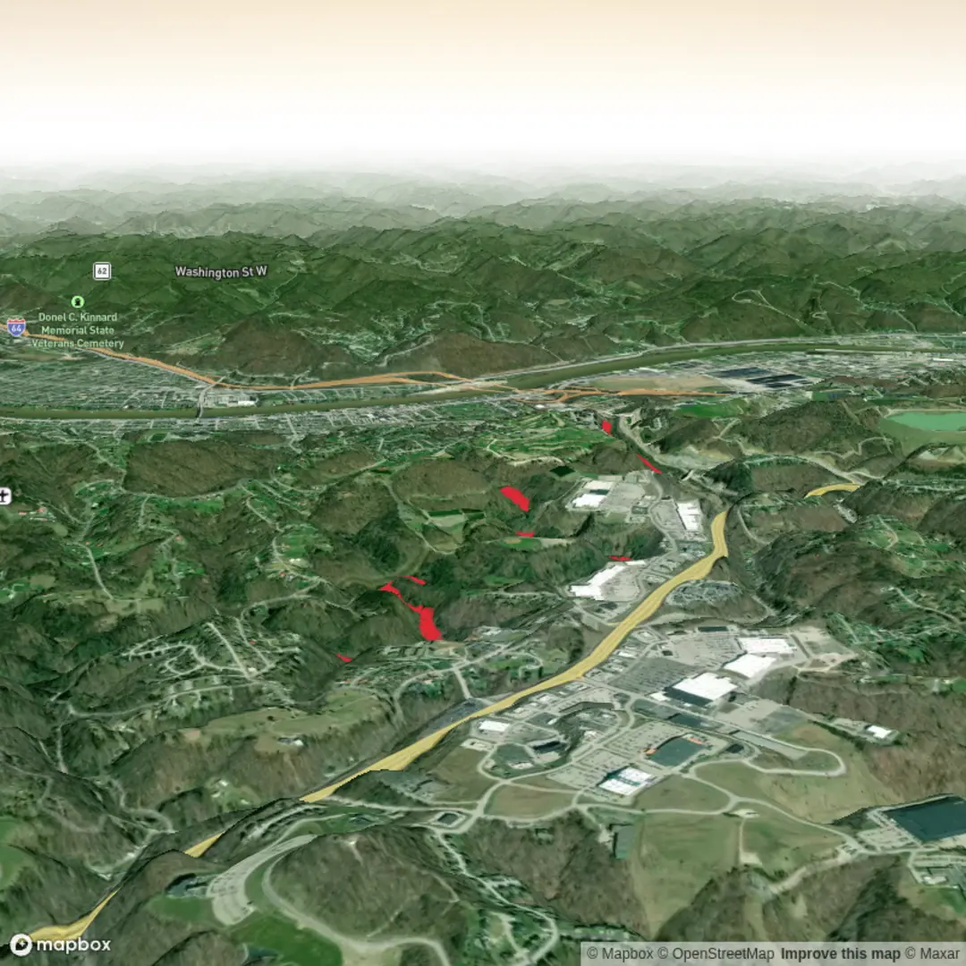
You’ll be walking a quiet creek-valley corridor on the edge of the Charleston metro area, where the forest closes in quickly and the tread stays friendly. For planning purposes, treat this as an easy, mostly level out-and-back of ~13 km / ~8.1 mi with ~0 m / ~0 ft of gain (small rollers and short rises won’t add up to much, but expect minor undulations typical of an Appalachian hollow).
Getting to the start (car + public transport)
Most practical access: the Davis Creek Road entrance to Kanawha State Forest, reached from the South Charleston/Charleston area. The park’s main contact address is 7500 Kanawha State Forest Dr, Charleston, WV 25314, which is a reliable landmark to aim for before you continue deeper toward trail parking. (wvstateparks.com)
- By car: From South Charleston, follow WV-214 (Davis Creek Road) toward Kanawha State Forest. Once inside the forest, use HiiKER to pinpoint the closest legal parking for the Trace Fork/Davis Creek side and to confirm which spur/connector you’re using to make the full ~13 km / ~8.1 mi route.
- By public transport: Charleston-area transit does reach the Trace Fork / Davis Creek commercial corridor (bus stops along Trace Fork Blvd and nearby), but you’ll still need a rideshare or a longer walk to reach the forest entrance and trail parking. If you’re trying to go car-free, plan on combining bus + rideshare and confirm the last-mile road walk in HiiKER. (appassets.mvtdev.com)
What the hike feels like underfoot
This route sits in the Davis Creek / Trace Fork drainage on the Allegheny Plateau edge, where streams have cut narrow hollows and left a mix of old roadbeds, dirt singletrack, and creekside tread. A nearby mapped segment labeled “Trace Fork Trail” is shown as dirt and hike/bike friendly, which matches what most hikers should expect: generally forgiving footing with occasional muddy patches after rain. (naturalatlas.com)
Because your stated elevation gain is essentially zero, the hike is best approached as a steady, aerobic walk rather than a climb: you’ll spend more effort on pace, footing, and streamside conditions than on steep grades.
Landmarks and natural highlights (with approximate distances)
Distances below assume an out-and-back totaling ~13 km / ~8.1 mi; adjust slightly depending on the exact parking and connectors you choose in HiiKER.
- 0.0–1.5 km (0.0–0.9 mi): settling into the hollow
Expect a gentle start as you enter the drainage. In spring and early summer, this kind of mixed-mesophytic forest corridor is often rich in wildflowers and songbird activity. - 1.5–4.5 km (0.9–2.8 mi): classic creek-valley walking
The trail tends to track the watercourse and low benches above it. Watch for wet roots, slick leaves, and short muddy stretches where side seeps cross the tread—common in this ecoregion. - ~6.5 km (4.0 mi): turnaround zone
Plan your turnaround around the halfway point to keep the day easy. If you’re using a mapped “Trace Fork Trail” segment plus connecting trail/roadbed to reach ~13 km total, confirm junctions and turnaround with HiiKER so you don’t accidentally shorten (or lengthen) the day.
Wildlife and what to look out for
Kanawha State Forest is known for diverse bird populations and wildflowers, and the broader Davis Creek watershed supports typical Appalachian forest wildlife. (wvstateparks.com)
Practical cautions for this specific kind of creek-hollow hike: - Ticks in warm months (especially along brushy edges); use repellent and do a full check after. - Snakes are possible on sunny openings and along rocky edges; watch where you place hands/feet when stepping over logs. - High water after storms: even if you don’t have major fords, creekside trails can flood, and small feeder channels can become ankle-deep quickly.
Navigation and trail etiquette
This area has a network of intersecting trails/roads in the forest,

Surfaces
Unknown
Ground
Comments and Reviews
User comments, reviews and discussions about the Trace Fork Trail, West Virginia.
average rating out of 5
0 rating(s)