
Download
3D Flyover
Add to list
More
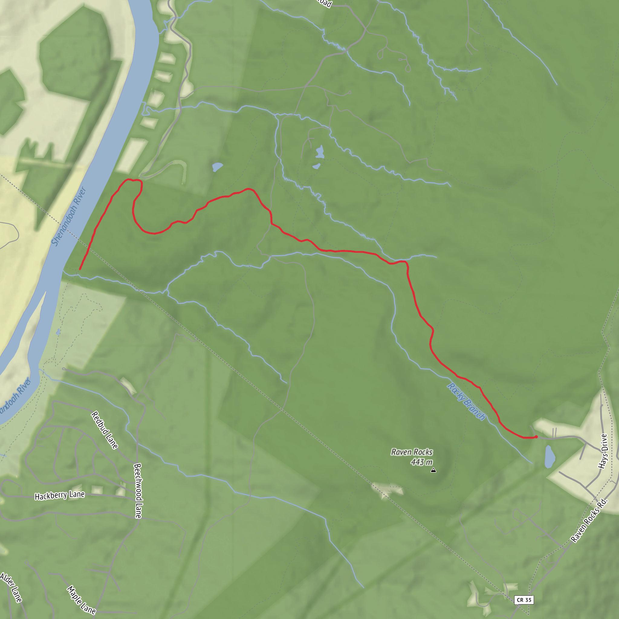
8.9 km
~2 hrs 13 min
262 m
Out and Back
“Share a start point or map, and I’ll paint a vivid route story with grounded, careful details.”
I’m missing a few key pieces needed to write this accurately (especially the start location). Please send one of the following so I can convert the lon/lat to the nearest known address/landmark and give precise access + route details:
- The start point coordinates (lon/lat) (or a HiiKER link), or
- The nearest town/park/trailhead name, or
- A static map image of the route.
Also, if you know them, tell me: - State/province + country (e.g., “Idaho, USA”) - Hike type (loop / out-and-back / point-to-point) - Any must-hit waypoint names shown on your map (e.g., “Powerline Trail junction,” “Ridge to River Trail,” “overlook,” “creek crossing”).
Once I have the start location, I’ll provide: - Step-by-step route description with approx. distances in km + miles and elevation gain in m + ft (9 km / 5.6 mi; 300 m / ~985 ft overall) - What to expect underfoot, steep sections, and common “wrong turn” spots using HiiKER for navigation references - Landmarks, habitat, likely wildlife, seasonal considerations, and any local historical context - How to get to the trailhead by car and public transport, with the nearest known address or significant landmark for the start point
Surfaces
Dirt
Unknown
Comments and Reviews
User comments, reviews and discussions about the Powerline Trail and Ridge to River Trail, West Virginia.
average rating out of 5
0 rating(s)
