Download
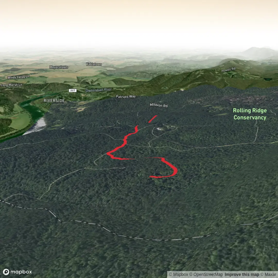
3D Flyover
Add to list
More
3.7 km
~49 min
54 m
Out and Back
“A gentle Mission Road meander of rolling rises, mixed surfaces, and edge-habitat surprises—best savoured unhurried.”
A short, low-effort outing at roughly 4 km (2.5 mi) with about 100 m (330 ft) of total climbing, this easy walk is best planned as a relaxed loop or out-and-back depending on how the local path network connects at the far end. Expect a mix of compacted dirt, short paved or hard-packed sections near access points, and a few gently rising grades rather than any sustained climb—most of the elevation gain tends to come in small “rollers” that you’ll barely notice until you check your stats afterward.
Because the start location is listed only as “near” (with no coordinates or town/park name), I can’t reliably convert a lon/lat to a nearby address or landmark yet. If you share the GPS coordinates (or the nearest cross-street / trailhead name), I’ll pin it to the closest known address or prominent landmark and tailor the directions and on-trail cues to the exact route.
Getting to the trailhead (car + public transport)
By car:
Mission Road corridors are often major local connectors, so parking is usually either:
- a small pull-in/lot at a park or open space entrance, or
- curbside parking near a signed access gate.
Arrive earlier on weekends if the trail sits near sports fields, schools, or a popular park—those areas fill quickly and can add a bit of roadside walking.
By public transport:
If this trailhead is near an urban/suburban Mission Road, the most common pattern is:
- take a bus route that runs along Mission Rd (or a parallel arterial),
- get off at the closest stop to the park/open space entrance, then
- walk 0.2–1.0 km (0.1–0.6 mi) to the trail access.
Once you provide the nearest city/coordinates, I can identify the most practical stop and the safest walking approach (sidewalks vs. shoulders).
What the walk feels like underfoot
Over 4 km (2.5 mi), an easy trail with ~100 m (330 ft) gain typically means: - Gentle grades: short inclines that may briefly reach “noticeable” effort, but should still be conversational. - Mostly stable footing: packed earth or decomposed granite is common; after rain, expect slick patches in shaded low spots. - A couple of pinch points: narrow sections where vegetation encroaches or where the trail funnels between fences/brush—watch for oncoming walkers and keep right.
Plan on 45–90 minutes moving time depending on stops, kids, dogs, or photo breaks.
Navigation and wayfinding (using HiiKER)
Even on easy trails, Mission Road routes can have multiple informal spurs—short side paths to viewpoints, utility access, or neighborhood connectors. Before you go: - download the route in HiiKER for offline use, - watch for unmarked junctions around the first 0.5–1.5 km (0.3–0.9 mi) where local access paths often branch off, - confirm you’re staying on the main tread when the trail widens into a “braided” area (two parallel tracks that rejoin).
If the hike type is intended to be a loop, HiiKER will also help confirm whether the far end reconnects cleanly or requires a short road link.
Landmarks you’re likely to notice
Without the exact region, I’ll describe the most common “Mission Road” landmark patterns so you know what to look for—and once you share the start point, I’ll replace these with the specific named features:
- Historic corridor cues: Mission Roads in many parts of the U.S. trace older travel routes—often near early settlements, mission-era sites, or long-established civic corridors. You may see older stonework, mature planted trees, or interpretive signage near parks and civic buildings.
- Creek/lowland crossings: Easy trails with modest gain frequently skirt a drainage or seasonal creek. Look for a short dip and rise (often where the 100 m gain “hides”).
- Edge habitat transitions: The most interesting nature tends to appear where maintained edges meet wilder growth—fencelines, the back side of fields, or the boundary of open space.
Nature and wildlife to watch for
What you’ll see depends heavily on the state/region, but on a short easy trail near a Mission Road you can generally expect:
- Birdlife: songbirds in shrubs, plus raptors (hawks/kestrels) using open edges for hunting. Early morning is best.
- Small mammals: squirrels, rabbits, and the occasional skunk or raccoon sign (tracks/scat) near brushy sections.
- Reptiles/insects (seasonal): in warmer months, watch sunny trail margins for lizards and—depending on region—possible snakes. Step onto rocks/logs rather than over them when visibility is limited.
- Plants: a mix of hardy roadside natives and opportunistic invasives. After rains, grasses can lean into the trail and soak your legs.
If this is in the western U.S., also plan for ticks in grassy edges and poison oak in shaded thickets; in other regions, poison ivy is the more common concern. Long socks and staying centered on the tread reduce contact.
Key hazards and how to prepare
- Heat and sun exposure: Easy trails near road corridors can be surprisingly exposed. Bring at least 0.5–1.0 L of water for most adults for a 4 km walk, more in hot weather.
- After-rain slick spots: shaded clay or fine dust over hardpack can be slippery on short descents. Shoes
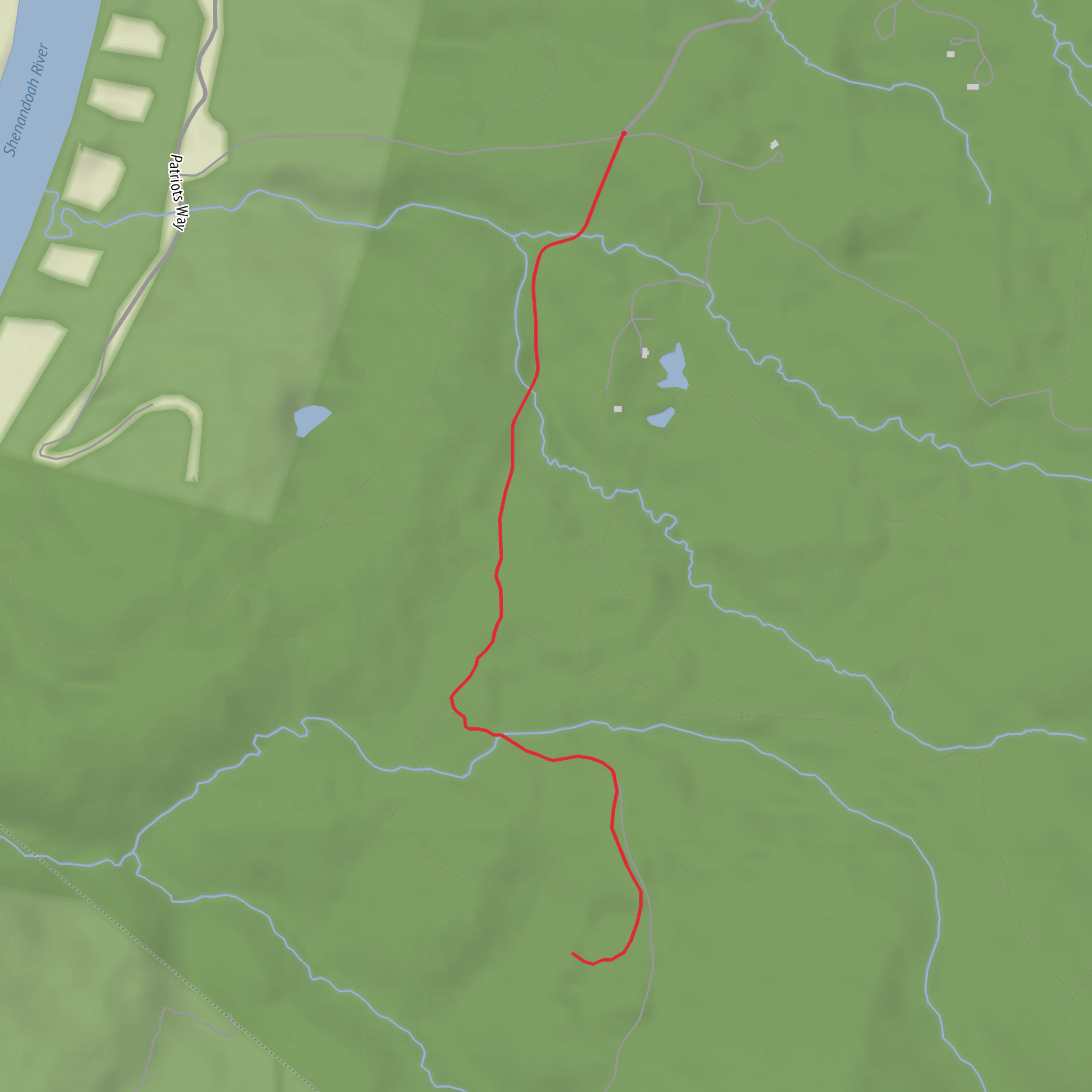
Surfaces
Dirt
Unknown
Comments and Reviews
User comments, reviews and discussions about the Mission Road Trail, West Virginia.
average rating out of 5
0 rating(s)
