Download
3D Flyover
Add to list
More
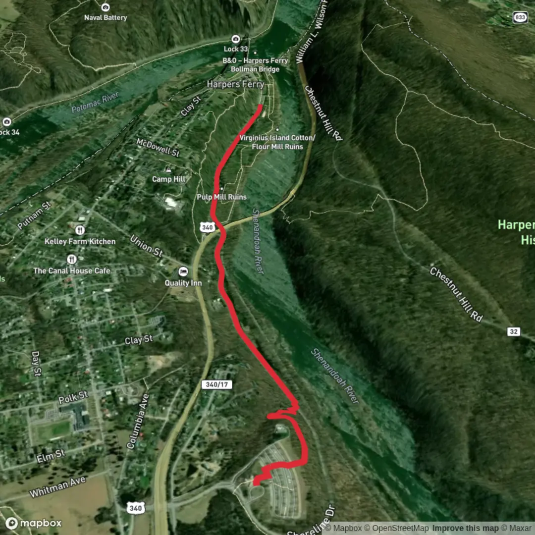
2.7 km
~32 min
0 m
Point-to-Point
“A gentle wander awaits—share the trailhead, and I’ll paint Lower Town’s path with care.”
I’m missing the key location details needed to make this accurate. “Hike head: near” is blank, and there are no coordinates to convert to a nearby address/landmark—so I can’t reliably describe the setting, access, landmarks, wildlife, or local history for the correct “Lower Town Trail” (there are multiple trails with similar names in different places).
Send any one of the following and I’ll write the full hike description exactly in the style you requested:
- A lon/lat pair for the trailhead (best), e.g.
-122.1234, 47.1234, or - A map screenshot, or
- The town/park/state (or country) where “Lower Town Trail” is located, plus the nearest named place (visitor center, parking lot, road, or neighborhood).
Optional (helps a lot): - Loop or out-and-back (or “point-to-point”) - Surface type (paved path, gravel, dirt) - Any known highlights you want included (riverwalk, ruins, old town, viewpoints)
Once you share the location, I’ll include: - Turn-by-turn expectations with approx. distances in km and miles (3 km / ~1.9 mi total) and elevation gain in m and ft (~0 m / ~0 ft) - What to watch for (trail junctions, crossings, mud/ice, bikes, accessibility) - Likely flora/fauna for that specific region - Notable landmarks and any historical context tied to the area - How to reach the start by car and public transport - Navigation guidance referencing HiiKER only
Surfaces
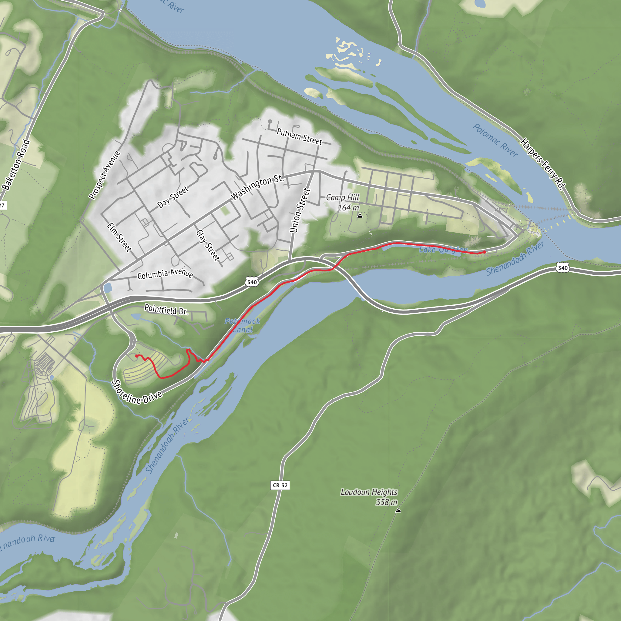
Gravel
Unpaved
Ground
Unknown
Concrete
Paved
Comments and Reviews
User comments, reviews and discussions about the Lower Town Trail, West Virginia.
average rating out of 5
0 rating(s)
