
Download
3D Flyover
Add to list
More
2.1 km
~28 min
43 m
Loop
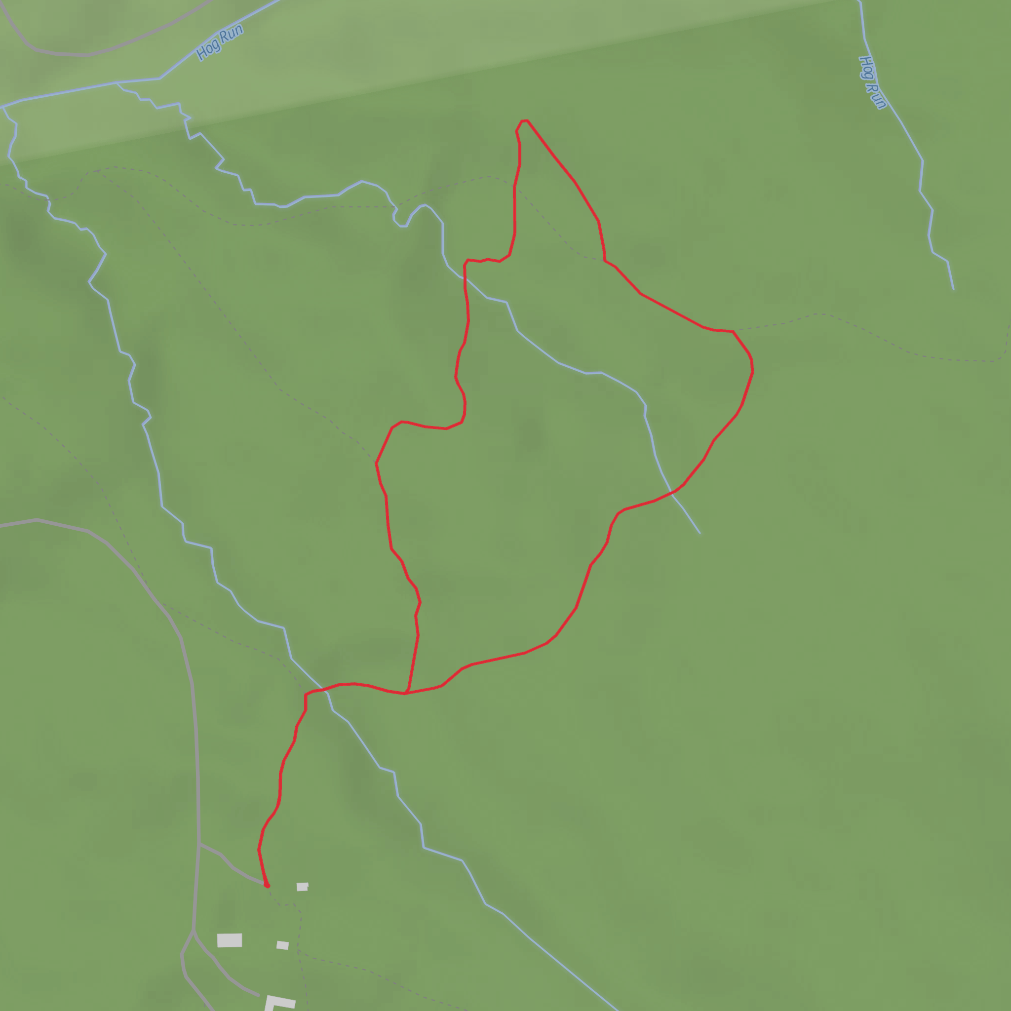
“A trail tale waiting for its map-pin—share the start point to bring it vividly to life.”
I’m missing the key location details needed to make this accurate and useful. “Hike head: near” is incomplete, and I don’t have any coordinates to convert into a nearby address/landmark.
Send one of the following and I’ll write the full 2 km (1.2 mi), ~0 m (0 ft) gain description with landmarks, wildlife, hazards, history, and detailed access/parking/transit directions (and I’ll reference HiiKER for navigation):
1) Latitude/longitude for the trailhead (or a GPX/KML link), or
2) The nearest town/park name + state/country, or
3) A map screenshot that shows the loop and a pin for the start.
Also, confirm these two fields so I match your intent:
- Hike type: loop / out-and-back / point-to-point (you wrote “Langdon Loop” but left type blank)
- Surface/setting: paved path, gravel, woodland track, coastal, urban park, etc. (if you know)
Once you provide the location, I’ll convert the lon/lat to the nearest known address or significant landmark and include approximate distances in km and miles throughout.
Surfaces
Dirt
Unknown
Comments and Reviews
User comments, reviews and discussions about the Langdon Loop, West Virginia.
average rating out of 5
0 rating(s)
