Download
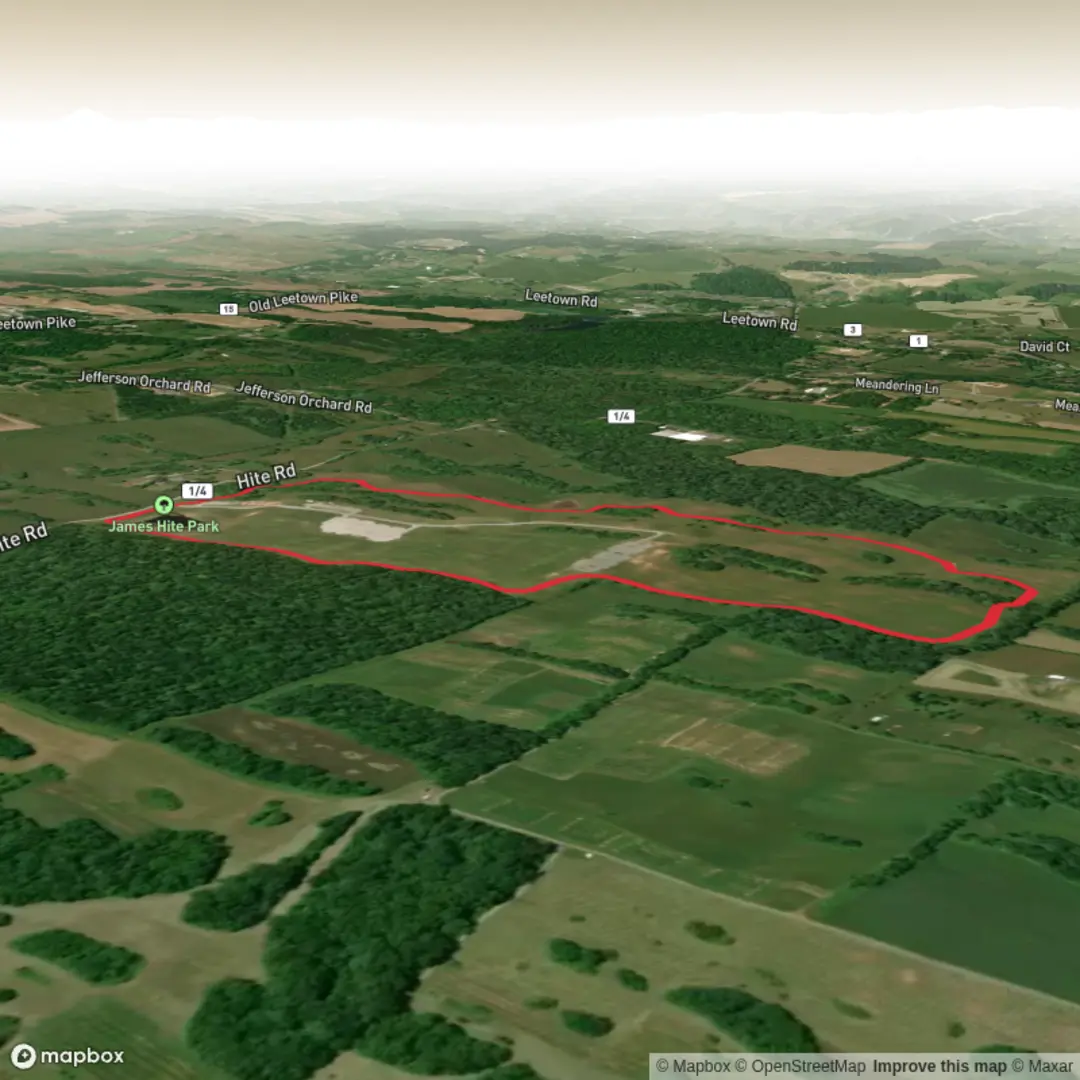
3D Flyover
Add to list
More
3.0 km
~35 min
0 m
Loop
“A mostly level park wander on wide paths—birdsong, shade pockets, and easy pauses along the way.”
A short, mostly level wander of about 3 km (1.9 mi) with ~0 m (0 ft) of climbing, this is the kind of walk that suits an easy morning or a quick leg-stretcher—expect wide, well-used paths, frequent dog-walkers, and plenty of places to pause if you’re moving with kids, a stroller, or anyone new to hiking.
Getting to the trailhead (car + public transport)
You’ve listed the start as “near” but didn’t include coordinates or a town/region. If you share a lon/lat (or even the nearest city/park name), I can convert it to the nearest known address or notable landmark and tailor directions precisely.
For now, here’s how to plan access once you confirm the location: - By car: Search “Hite Park” in your maps app and aim for the main park entrance/primary parking lot (usually the most reliable access point for park trails). Arrive earlier on weekends—small parks can fill quickly even for short loops. - By public transport: Most “park trails” like this are easiest by bus. Look for routes that stop at or near the park’s main entrance or along the closest arterial road. From there, it’s typically a 5–15 minute walk (0.4–1.2 km / 0.25–0.75 mi) to the path network.
If you tell me the nearest town/state (or provide coordinates), I’ll give you the best parking option, the closest transit stop, and the simplest walking approach.
You’ll likely start from a park access point—look for an information board, a kiosk, or a main multi-use path. Because the route is essentially flat (~0 m / 0 ft gain), the “effort” comes more from surface conditions than elevation: packed gravel, pavement, or hard-packed dirt are common in park settings. After rain, low-lying sections can hold water even when the rest dries out quickly.
What the walk feels like underfoot
On an easy, low-elevation-gain park trail, expect: - Gentle grades suitable for steady walking pace throughout. - Intersections and spurs: short connector paths to picnic areas, playgrounds, sports fields, or river/pond overlooks (if present). - Shared use: cyclists, runners, dog walkers—stay right, and be ready for faster traffic on straighter sections.
Plan on 45–70 minutes for most hikers at a relaxed pace, longer if you’re stopping often.
Landmarks, nature, and wildlife to watch for
Without the exact location, the most reliable “Hite Park Trail” pattern is a community-park loop or out-and-back that highlights a few common features: - Open lawn and shade pockets: alternating sunny stretches and tree-lined segments—bring sun protection even on a short hike. - Water features (if present): ponds, creeks, or drainage channels often attract birds; look for ducks, geese, herons, and seasonal songbirds. - Edge habitat: where mowed grass meets shrubs/trees, you’ll often see rabbits, squirrels, and (in many regions) deer at quieter times of day.
If the park borders water or wetlands, add a little extra awareness: - Mosquitoes can be intense in warm months—pack repellent. - Slippery edges near banks and boardwalks—watch footing, especially with kids.
Navigation and planning
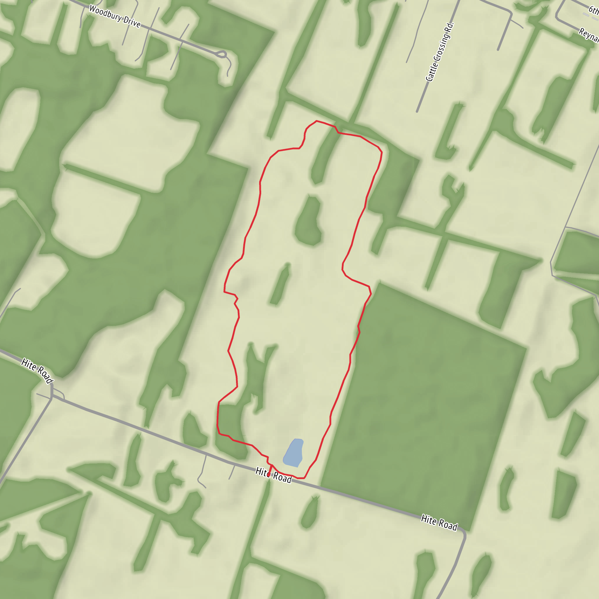
Even on a short park trail, it’s worth having the route loaded on HiiKER so you can: - confirm you’re following the intended 3 km (1.9 mi) line (park networks can make it easy to accidentally extend the walk), - spot junctions ahead of time, - and identify nearby facilities (parking, restrooms, picnic areas) if they’re mapped.
Hazards and practical prep (easy doesn’t mean “no prep”)
Because the elevation gain is negligible, the main things to plan for are comfort and small safety details: - Footwear: light hikers or running shoes are usually fine; after rain, choose something with decent tread for muddy patches. - Hydration: for 3 km (1.9 mi), 0.5 L is typically plenty, more in heat/humidity. - Sun/heat: open park sections can feel hotter than expected—hat + sunscreen help. - Ticks (region-dependent): if the trail runs along brushy edges, do a quick tick check afterward. - Dogs and shared-use etiquette: keep an eye out at blind corners and near trailheads where traffic bunches up.
Historical context (once location is confirmed)
“Hite” place names can be tied to local families, early settlement, or land donations for public use, but the specific history varies widely by state and county. If you provide the lon/lat (or the city/state), I’ll include the relevant local history—such as: - whether the park sits on former agricultural land, - any nearby historic districts, mills, rail corridors, or river crossings, - and any Indigenous or early-settlement context that’s appropriate to the exact area.
If you send the starting coordinates (lon/lat) or even just the nearest town/state, I’ll: 1) convert them to the nearest address/landmark, 2) describe the exact route flow (junction-by-junction) with distances in km and miles, 3) call out the most likely wildlife for that specific region, 4) and add accurate historical notes tied to the area.
Comments and Reviews
User comments, reviews and discussions about the Hite Park Trail, West Virginia.
average rating out of 5
0 rating(s)
