Download
Preview
Add to list
More
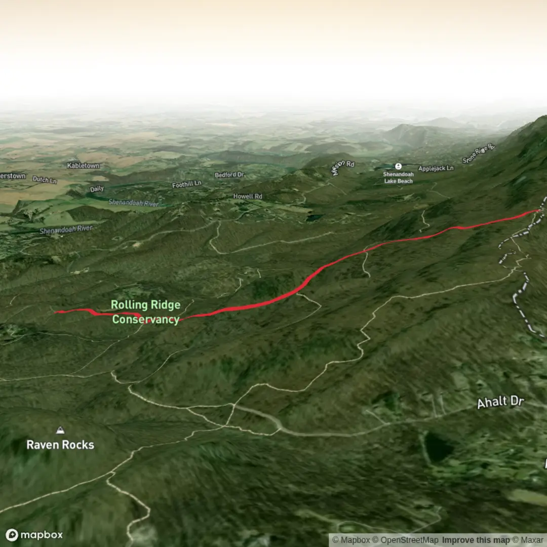
5.0 km
~1 hrs 27 min
272 m
Out and Back
“Help me pinpoint Friends Trail’s trailhead, and I’ll paint a thoughtful, tailored hike story.”
I’m missing a few key pieces needed to make this accurate and useful (and to convert the start point to a real-world place).
Please send one of the following so I can pin down the trailhead and write the full 5 km / 300 m (3.1 mi / ~985 ft) medium hike description:
1) Trailhead coordinates (lat, lon), or
2) A HiiKER link to “Friends Trail”, or
3) The nearest town/park/state (e.g., “near Asheville, NC” or “near [Park Name]”), plus any known trailhead/parking lot name.
Also, if you know them, tell me:
- Hike type: loop / out-and-back / point-to-point
- Any must-hit landmark on the route (waterfall, viewpoint, lake, ruins), if that’s why you chose it
Once I have the start location, I’ll include: - Driving + public transport approach to the trailhead (with the nearest recognizable address/landmark) - Segment-by-segment expectations with approx. distance + elevation in km/mi and m/ft - Terrain, footing, exposure, typical conditions, and what to watch for - Notable nature/wildlife and any regional historical context - Navigation guidance using HiiKER only

Surfaces
Dirt
Gravel
Ground
Unknown
Comments and Reviews
User comments, reviews and discussions about the Friends Trail, West Virginia.
average rating out of 5
0 rating(s)