Download
3D Flyover
Add to list
More
4.7 km
~59 min
22 m
Loop
“Stroll Bridgeport City Park’s gentle loop—paved calm, grassy detours, and birdlife—at your own pace.”
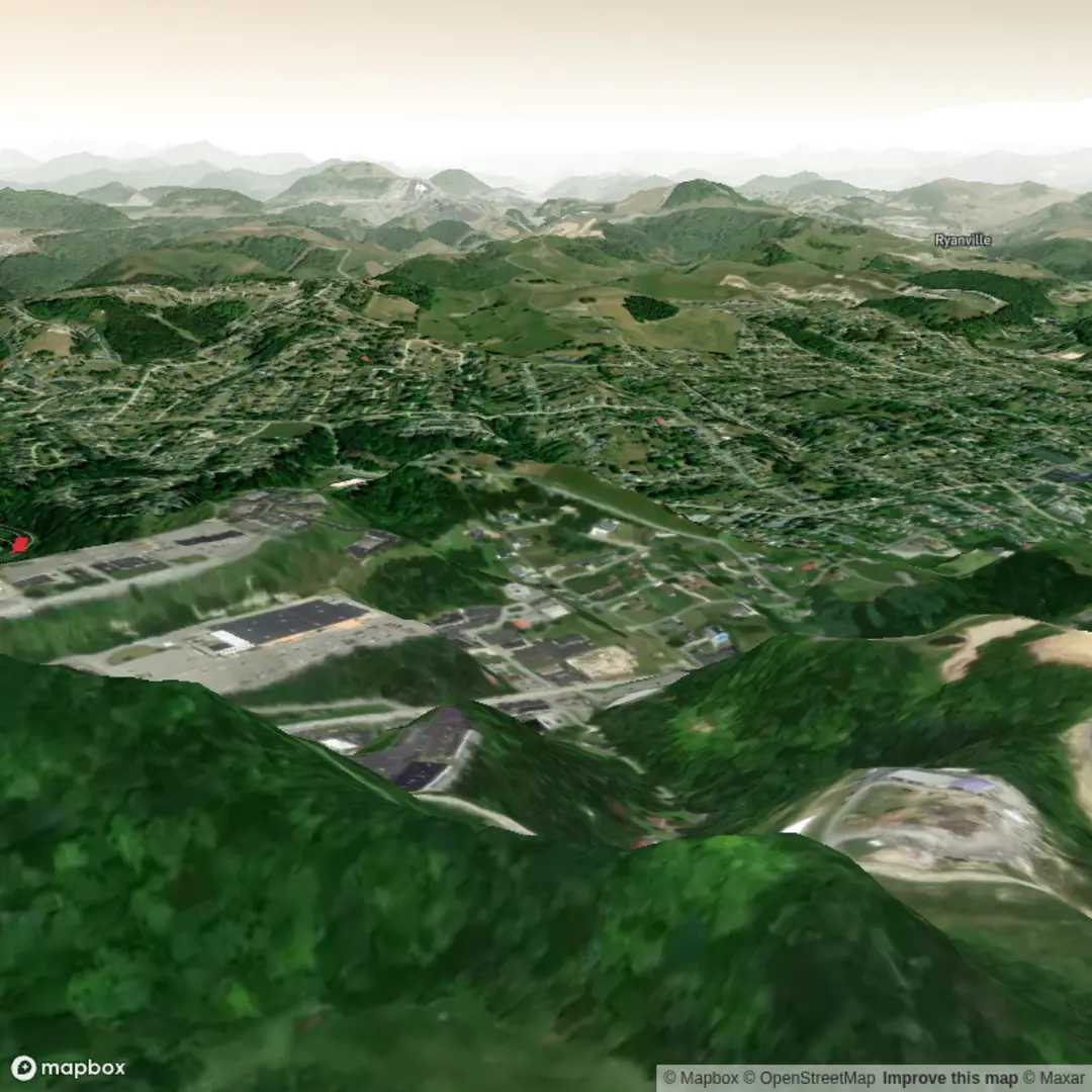
A relaxed, mostly level loop through a community park setting, this walk is ideal for a low-effort outing, a leg-stretcher while traveling, or an easy nature break with plenty of options to shorten or extend. At around 5 km (3.1 miles) with roughly 0 m (0 ft) of elevation gain, expect paved paths, short connectors of compacted gravel or mown grass depending on season and maintenance, and frequent opportunities to step off-route for playgrounds, picnic areas, or sports facilities.
Getting to the start (car + public transport)
Because “near” and any coordinates weren’t provided, the best practical plan is to start from the most obvious, signed access point: the main parking area at Bridgeport City Park (look for the primary park entrance signage and the largest cluster of parking, picnic shelters, and restrooms). If you share a lon/lat pin, I can convert it to the nearest address or landmark precisely.
- By car: Navigate to Bridgeport City Park and aim for the main lot by the central amenities (restrooms/shelters). Arriving earlier in the day helps if there are weekend games or community events.
- By public transport: In many small-to-mid sized towns, service can be limited. If your local transit agency runs buses, the most reliable approach is to route to “Bridgeport City Park” (or the nearest stop on the park’s bordering arterial road) and walk in via the nearest signed entrance. Use HiiKER to confirm the closest entrance path and to keep the loop clean if sidewalks end abruptly near park edges.
What the loop is like underfoot
Most of this loop is about easy, predictable footing: - Surface: commonly paved multi-use path with occasional gravel spurs; after rain, any grass connectors can be slick. - Grade: essentially flat; any “ups and downs” are usually subtle drainage swales rather than true hills. - Width & traffic: expect two-way foot traffic, dog walkers, runners, kids on scooters, and cyclists. Keep right, and be especially attentive at blind corners near landscaping or buildings.
A simple way to structure the 5 km (3.1 mi) loop is: - 0.0–1.5 km (0.0–0.9 mi): settle in on the main path near the central facilities—often the busiest stretch. - 1.5–3.5 km (0.9–2.2 mi): quieter perimeter walking where you’ll notice more trees, open lawn, and any creek/pond edges if present. - 3.5–5.0 km (2.2–3.1 mi): return toward the core of the park, where crossings and activity increase again.
Landmarks and points of interest to watch for
City-park loops tend to have “micro-landmarks” rather than big backcountry features, but they’re useful for pacing and navigation: - Playgrounds and picnic shelters: good regroup points if you’re hiking with mixed abilities. - Sports fields/courts: these can create short detours if gates are closed or if you prefer to avoid crowds—HiiKER is handy for choosing the cleanest bypass. - Water features (pond/creek/drainage channel): if the loop skirts water, it’s often the most scenic segment and the best place to spot birds—also where paths can be damp or muddy at the edges. - Memorials, plaques, or community boards: many city parks include small monuments or interpretive signs that reflect local civic history (veterans memorials, town founders, or park-donor recognition).
Nature and wildlife (what you’re likely to see)
Even in a manicured park, wildlife can be surprisingly active—especially early morning and near water or tree lines.
- Birds: expect common urban and edge-habitat species—songbirds in shrubs, waterfowl if there’s a pond, and raptors occasionally circling overhead.
- Small mammals: squirrels and rabbits are typical; in some regions you may also see raccoons near dusk.
- Insects: warmer months bring mosquitoes near standing water and shaded vegetation; ticks can be present where paths brush tall grass.
What to look out for: - Geese and other waterfowl can be territorial in spring; give them space, especially if you see nesting behavior. - Ticks: if you step off pavement into grass, do a quick check afterward, particularly around socks/ankles.
Navigation and timing
This is a straightforward loop, but parks often have many intersecting paths that can accidentally shorten or double your distance. - Use HiiKER to keep the loop close to 5 km (3.1 mi) and to confirm which side paths are spurs versus true connectors. - Typical moving time is 60–90 minutes at an easy pace, longer if you’re stopping for photos, playground breaks, or birdwatching.
Comfort, safety, and practical prep
- Footwear: light hikers or running shoes are perfect; after rain, consider shoes with decent tread if you expect any gravel/grass connectors.
- Water: for 5 km (3.1 mi), a small bottle is usually enough, but bring more in hot weather—parks can feel warmer due to sun exposure and reflected heat from pavement.
- Sun & heat: shade can be intermittent; a hat and sunscreen matter more than people expect on “easy” park loops.
- Crossings: watch for road crossings at park entrances and for cyclists on multi-use sections.
- **Restrooms & fountains

Surfaces
Asphalt
Unpaved
Wood
Comments and Reviews
User comments, reviews and discussions about the Bridgeport City Park Loop, West Virginia.
average rating out of 5
0 rating(s)