Download
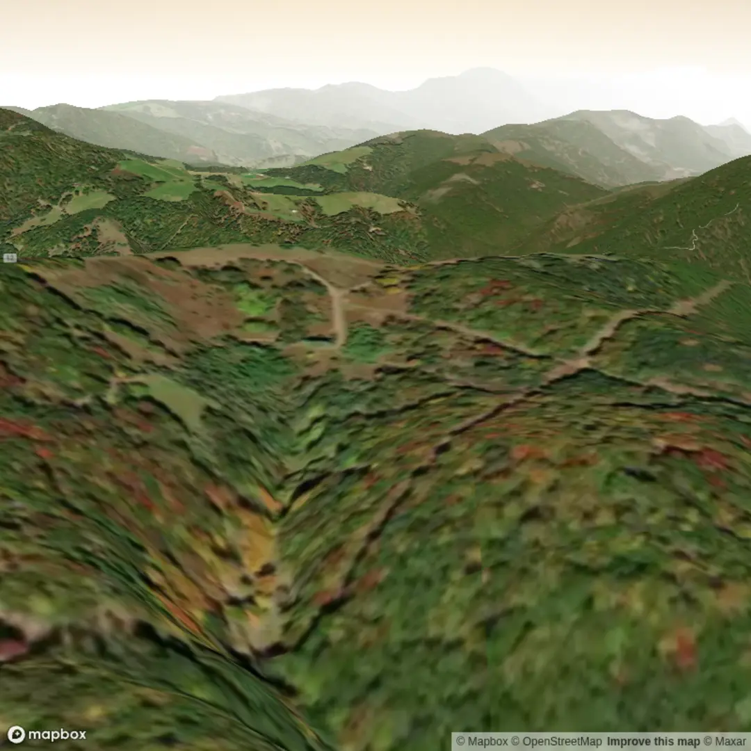
3D Flyover
Add to list
More
3.5 km
~1 hrs 3 min
213 m
Out and Back
“Help map Razor Ridge: share a link or coordinates, and we’ll shape a vivid, grounded hike story.”
I’m missing a few key specifics needed to make this accurate (and to convert the start point to a real-world address/landmark).
Please send one of the following so I can pin down the correct Razor Ridge Trail and write the full hike description:
1) A HiiKER link, or
2) The start lon/lat (and end lon/lat if different), or
3) The park/trailhead name + nearest town/state/country (e.g., “near ___, Colorado, USA”).
Also confirm these two fields (they’re blank in your details):
- Hike head (trailhead) near: (currently empty)
- Hike type: out-and-back / loop / point-to-point
Once I have that, I’ll provide: - Turn-by-turn expectations with approx. distance + elevation in km/mi and m/ft - Key landmarks, terrain hazards, seasonal considerations, and likely wildlife - How to get to the trailhead by car and public transport - A brief note on regional history relevant to the area - The trailhead location converted from lon/lat to the nearest known address or significant landmark (as requested)

Surfaces
Ground
Unknown
Comments and Reviews
User comments, reviews and discussions about the Razor Ridge Trail, West Virginia.
average rating out of 5
0 rating(s)