Download
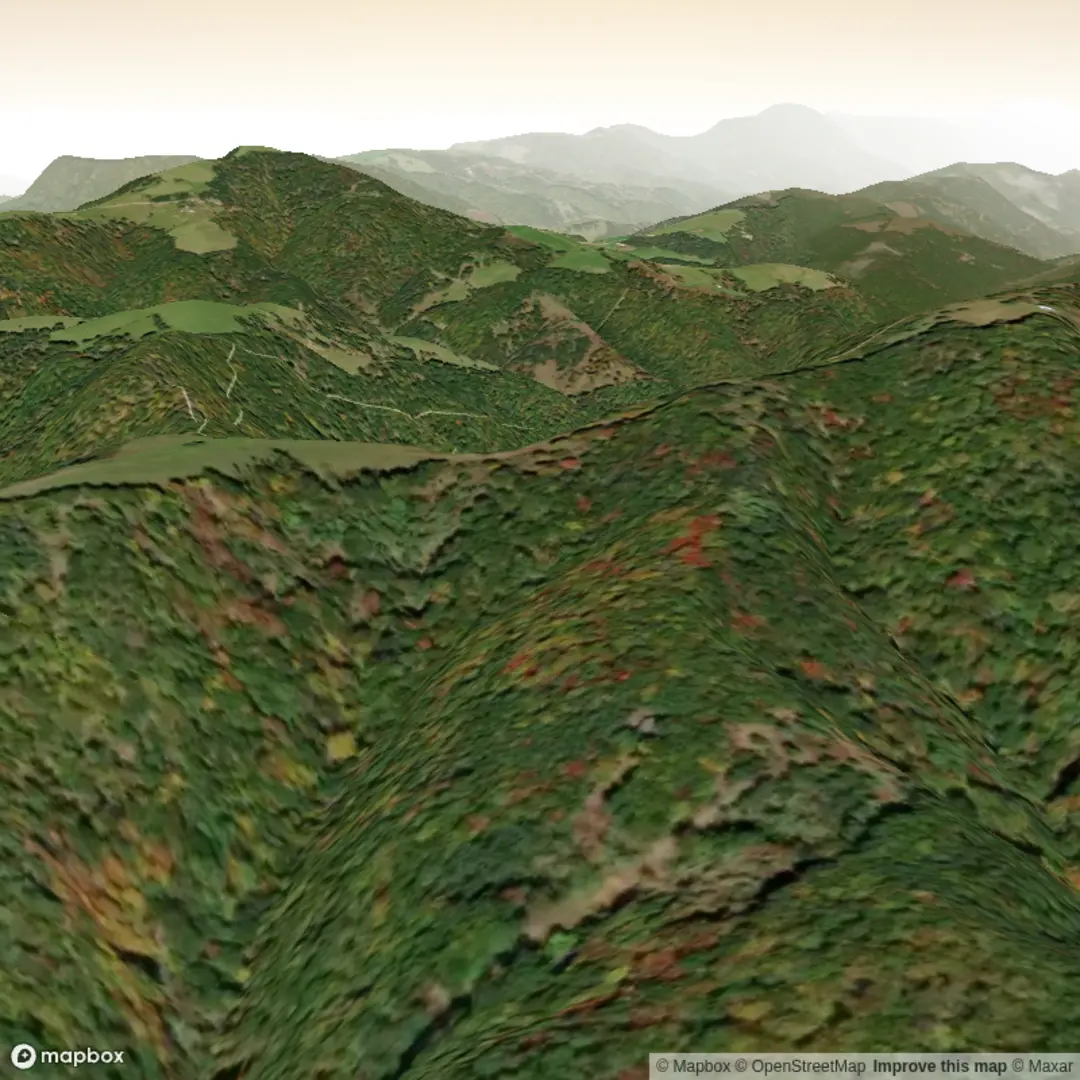
3D Flyover
Add to list
More
4.2 km
~1 hrs 4 min
147 m
Out and Back
“A spirited woodland loop of punchy climbs, slippery descents, and junction-spotting—rewarding with a modest high point.”
This is a short, punchy loop-style outing of about 4 km (2.5 mi) with roughly 200 m (656 ft) of climbing—enough elevation to feel like a workout, but still very manageable if you pace the ups and plan for a few brief breathers. With a Medium difficulty feel, expect a mix of steady grades and short, sharper pitches where footing and traction matter most.
Because the start location is listed only as “near” (with no coordinates or place name), I can’t reliably convert the trailhead to a nearest address or landmark yet. If you paste the lon/lat (or even the nearest town/park name), I’ll pin it to the closest recognizable landmark and tailor the access directions precisely.
Getting to the trailhead (car + public transport)
By car - Plan to arrive early if this is a popular local trail system—small pull-offs and informal parking areas can fill quickly. - Bring a small trash bag and keep valuables out of sight; trailhead break-ins are more common at remote lots.
By public transport - Most trailheads like this are reached by a combination of bus/train to the nearest town plus a short rideshare/taxi to the trail access point. - If you share the nearest city or coordinates, I can suggest the most realistic transit approach (and where the last reliable drop-off point usually is).
What the hike feels like underfoot
Over 4 km (2.5 mi), 200 m (656 ft) of gain means you’re averaging a fairly noticeable climb for the distance. Even if the route undulates, you should expect: - A sustained climb somewhere on the route (often the “make-or-break” section for pacing). - Short descents that can be slick if the surface is leaf-littered, gravelly, or hard-packed clay. - Narrower tread in places where vegetation encroaches—long pants can be more comfortable in warm months to avoid scratches and ticks.
Use HiiKER to confirm junctions between the Harry Lee Trail and the Lighthorse Trail—these paired-trail hikes often have a couple of intersections where it’s easy to take the “wrong” connector and accidentally shorten or lengthen the loop.
Landmarks and points of interest
Without the exact trailhead location, I’ll describe the kinds of features hikers typically encounter on medium, short-distance paired trails like this—then I can lock it to the real landmarks once you share coordinates: - High point / viewpoint zone: With ~200 m (656 ft) of gain, there’s often a modest high point—sometimes a ridge, shoulder, or open patch in the canopy. Even partial views are common where the forest thins. - Drainages and seasonal wet spots: Short hikes with quick elevation changes frequently cross small gullies or seeps. After rain, expect muddy pockets and slippery roots. - Trail junctions and signage: The “two-trail” format usually means at least one key junction. Watch for blazes, post markers, or named trail signs—and verify on HiiKER before committing to a turn.
Nature and wildlife to watch for
What you’ll see depends heavily on region, but for a medium woodland hike of this length, plan for: - Bird activity in the morning (songbirds, woodpeckers) and more mammal movement near dusk. - Deer are common in many North American trail systems; give them space, especially around fawns. - Ticks and mosquitoes in warm seasons—use repellent, do a tick check afterward, and consider light-colored clothing to spot them. - If the area is known for snakes, step carefully over logs and rocks and avoid placing hands where you can’t see.
If you tell me the state/region (or provide coordinates), I’ll narrow this to the specific species and seasonal considerations for that exact area.
Hazards and “look out for” moments
- Downhill traction: The descent sections can feel harder than the climb—especially if there’s loose gravel, wet leaves, or smooth rock. Trekking poles help a lot on a 200 m (656 ft) gain/loss profile.
- After-rain conditions: Expect slick roots and muddy ruts. Waterproof footwear or quick-drying trail runners both work—choose based on temperature and how wet the area tends to stay.
- Navigation at intersections: Short trail systems can be deceptively confusing. Confirm your position at each junction using HiiKER, especially where two named trails meet.
Planning: time, gear, and pacing
- Typical moving time: ~1–2 hours for most hikers, depending on fitness, stops, and how steep the main climb is.
- Water: For a 4 km (2.5 mi) medium hike, 0.5–1 L is usually sufficient in cool weather; bring more in heat/humidity.
- Footwear: Shoes with reliable tread matter more than ankle height here—traction is the key.
- Layers: Even short hikes can feel cooler at higher points or in shaded drainages; a light wind layer is often worth packing.
Historical significance (what I need to make it accurate)
The names “Lighthorse” and “Harry Lee” can be tied to very different histories depending on where this trail is—“Lighthorse” in particular is sometimes associated with mounted units, patrols, or regional militia history. To avoid guessing, I need the trail location (coordinates, park name, or nearest town) to identify the correct historical context and any nearby heritage sites, old roads,

Surfaces
Ground
Unknown
Comments and Reviews
User comments, reviews and discussions about the Harry Lee Trail and Lighthorse Trail, West Virginia.
average rating out of 5
0 rating(s)