Download
3D Flyover
Add to list
More
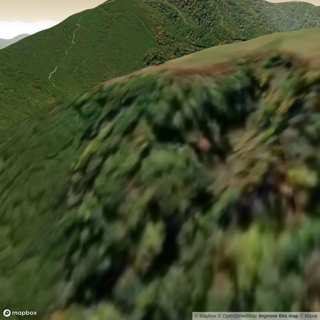
1.6 km
~23 min
45 m
Loop
“Share the trailhead and route shape, and I’ll paint a vivid, grounded hike snapshot—without overpromising.”
I’m missing one key piece of information needed to make this accurate: the hike start location (“Hike head: near …”) and any coordinates you meant to include.
Send either: - a lon/lat pair (or a GPX/KML link), or - the nearest town/park/trailhead name, or - a static map image of the route
…and tell me whether this is a loop, out-and-back, or point-to-point (if you know).
Once I have that, I’ll: - convert the lon/lat to the nearest known address or notable landmark - describe the full ~2 km / 1.2 mi route with approx. distances, 0 m / 0 ft gain (or correct it if the map shows otherwise) - include landmarks, terrain, seasonal conditions, wildlife, and any local history - explain how to reach the start by car and public transport - reference HiiKER for navigation (and only HiiKER)

Surfaces
Ground
Unknown
Comments and Reviews
User comments, reviews and discussions about the Branch Mountain Trail and Shingle Mill Ln Trail, West Virginia.
average rating out of 5
0 rating(s)