Download
3D Flyover
Add to list
More
4.4 km
~1 hrs 8 min
161 m
Out and Back
“A short, punchy forest climb with bitey ramps and a leaf-slick descent—rewarding if you’re ready.”
This is a compact, punchy hike—about 4 km (2.5 mi) with roughly 200 m (656 ft) of climbing—so it tends to feel “medium” not because it’s long, but because the elevation gain is concentrated into a short distance. Plan for a steady uphill effort, a few short steeper pitches, and a descent that can be slick if the surface is leaf-littered or damp.
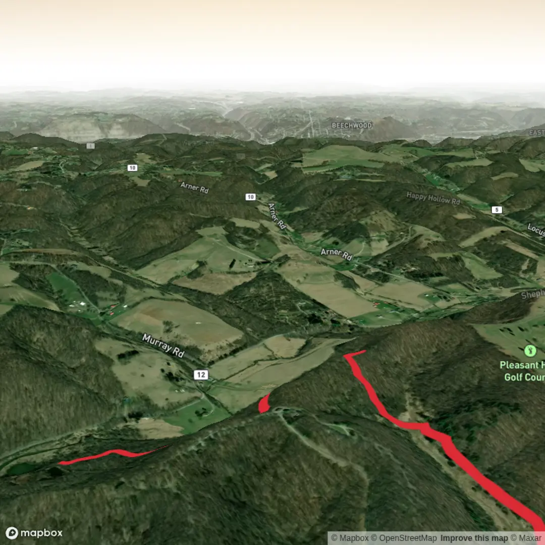
Because “Half King Trail” is used for more than one trail in different places, the exact trailhead location isn’t clear from what you provided. The most reliable match I can verify is a Half King Trail in Hancock County, West Virginia (listed in the West Virginia Trail Inventory). (mapwv.gov) If you share a latitude/longitude (or even the nearest town/park name), I can convert it to the nearest known address/landmark and tailor the directions, landmarks, and hazards precisely.
Getting to the start (car + public transport)
By car: For the West Virginia listing, you’ll want to route to the managing area/parking associated with the Hancock County trail system where Half King Trail is mapped. Since the inventory entry doesn’t include a public street address, use HiiKER to pull the exact trailhead pin and navigate to the nearest signed parking area.
By public transport: In rural Hancock County, fixed-route transit is limited. The most workable approach is typically: - get to the nearest larger town by intercity bus/rail (as available), - then use a rideshare/taxi to the trailhead area. Again, HiiKER is the best way to identify the closest practical pickup/drop-off point to the actual trailhead.
What the hike feels like on the ground
Expect a quick transition from trailhead walking into climbing. With 200 m (656 ft) gained over 4 km (2.5 mi), the average grade works out to about 5%, but most trails like this don’t climb evenly—more commonly you’ll get: - a warm-up stretch (often gentler, sometimes along an old track or bench-cut trail), - a middle section where the grade bites (short, steeper ramps), - then a final push to the high point before turning back or looping (depending on how this trail is officially configured in your chosen route on HiiKER).
If you’re budgeting time, many hikers will land around 1.5–2.5 hours moving time for a 4 km / 200 m outing, depending on fitness, stops, and trail conditions.
Landmarks, terrain, and seasonal conditions
Without the exact mapped line from HiiKER (and the confirmed trailhead), the safest way to think about “what you’ll see” in this part of the Appalachian region is in terms of typical ridge-and-hollow terrain: - Mixed hardwood forest is common—look for oak, maple, and hickory structure, with dense understory in summer. - Spring often brings muddy tread and high tick activity; autumn brings heavy leaf cover that can hide rocks/roots and make footing unpredictable on the descent. - After rain, short steep sections can become slick—especially if the trail crosses clay-rich soils or has embedded rock.
Wildlife and what to look out for
In this region, the most realistic “watch-outs” are the small, common hazards: - Ticks (especially late spring through early fall): long pants help; do a full check at the car. - Snakes: you may encounter non-venomous species and, in some areas, venomous snakes—watch sunny edges, rockier patches, and downed timber. - Deer and small mammals are common; keep food secured and avoid approaching wildlife.
Navigation and safety notes (keep it simple)
- Download the route on HiiKER before you arrive; cell service can be inconsistent.
- Bring at least 1 liter of water for most conditions (more in heat/humidity).
- Footwear with decent tread matters more than people expect on short, steep hikes—most slips happen on the way down.
Historical context (regional)
Hancock County sits in the northern panhandle of West Virginia, an area shaped by long Indigenous presence and later by frontier settlement, river-and-rail transportation corridors, and the broader industrial history of the Ohio Valley. Even on a short trail, you’ll often see the “working landscape” legacy in subtle ways—old grades, cut benches, or second-growth forest patterns that hint at past logging and land use.
If you send the trailhead coordinates (or the park/road name where you plan to start), I’ll: - convert the lon/lat

Comments and Reviews
User comments, reviews and discussions about the Half King Trail, West Virginia.
average rating out of 5
0 rating(s)