Download
3D Flyover
Add to list
More
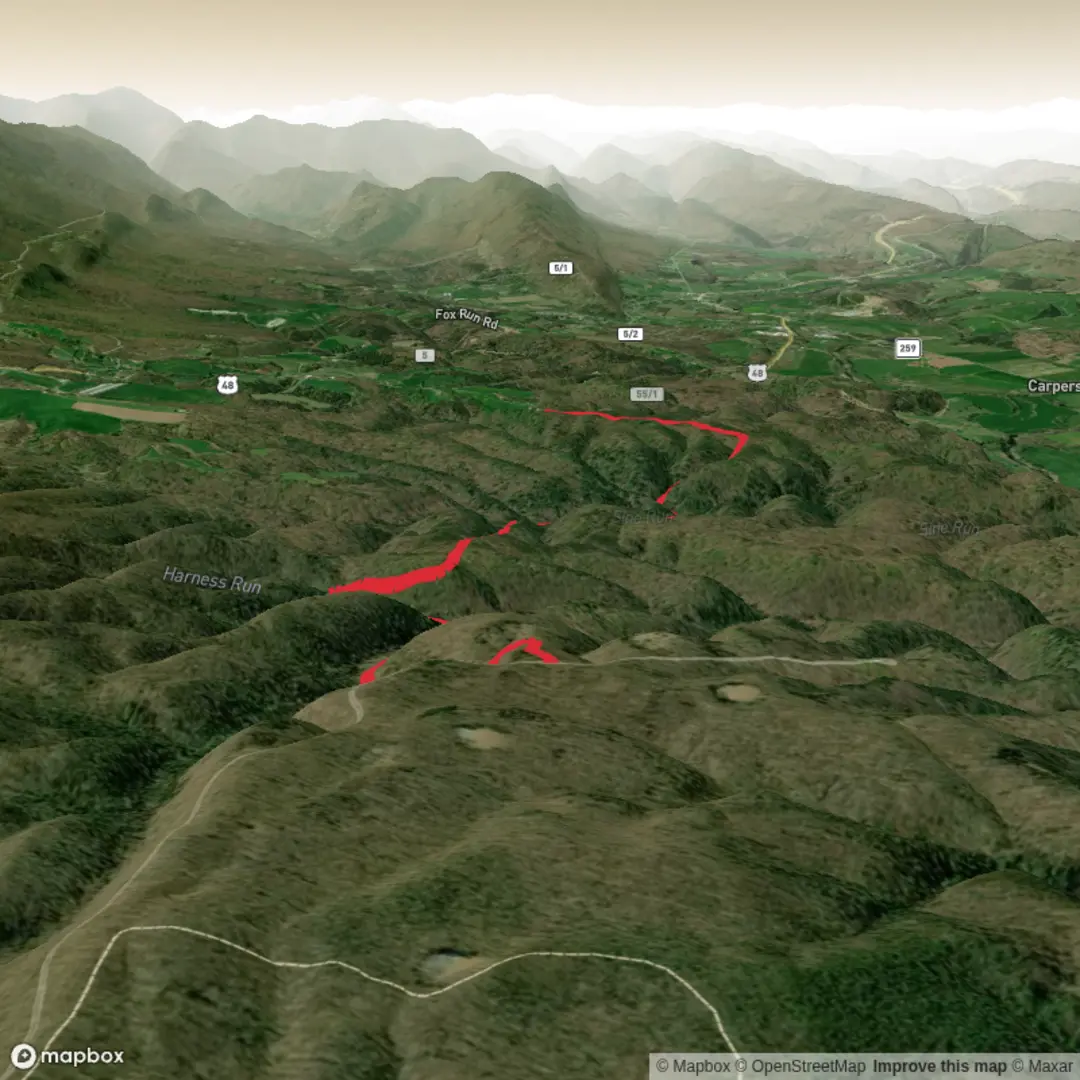
5.1 km
~1 hrs 7 min
59 m
Point-to-Point
“Share a trailhead pin or landmark, and I’ll paint a gentle, detail-rich hike plan.”
I’m missing a few key pieces of information needed to make this accurate and genuinely useful (and to convert any coordinates to a nearby landmark/address).
Please send one of the following: 1) A lon/lat for the trailhead (even approximate), or 2) The nearest town/park/road where the hike starts, or 3) A map screenshot that shows the start point.
Also, if you have them, tell me: - Region/country/state (e.g., “near Telluride, CO” or “near Queenstown, NZ”) - Hike type: loop / out-and-back / point-to-point - Any known highlights you want included (waterfall, lookout, lake, ruins, etc.)
Once I have the start location, I’ll write a full planning-ready description for a ~5 km / 3.1 mi easy hike with ~100 m / 328 ft gain, including: - How to get to the trailhead by car and public transport - What the tread is like (track width, footing, typical mud/rock, steep bits) - Landmarks, wildlife, and seasonal considerations - Any local history tied to the area - Navigation notes using HiiKER (only)

Comments and Reviews
User comments, reviews and discussions about the Lost Hunter Trail, West Virginia.
average rating out of 5
0 rating(s)