
Download
3D Flyover
Add to list
More
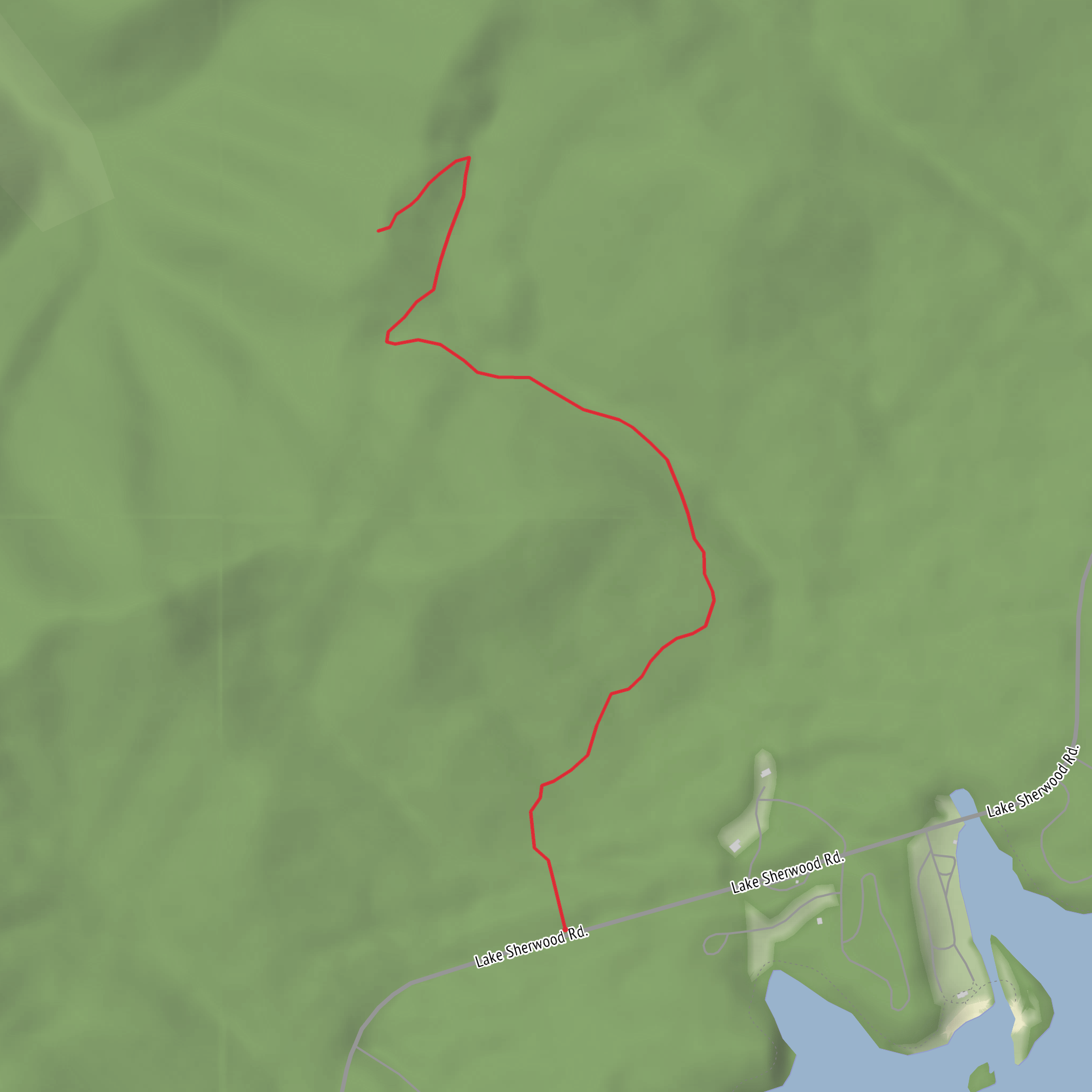
4.3 km
~52 min
12 m
Out and Back
“Help shape this hike’s story—share the trailhead and enjoy a calm, mostly level wander.”
I’m missing a few key pieces of information needed to write this accurately (especially the start location). Please send one of the following so I can convert the lon/lat to the nearest known address/landmark and give correct access + local context:
1) The trailhead coordinates (lon/lat), or
2) A HiiKER link, or
3) The park/trailhead name + city/state, or
4) A map screenshot that shows the start point.
Also, two quick confirmations so the description matches the route: - Hike type: out-and-back, loop, or point-to-point? - “Elevation gain ~0 m”: is this truly flat (boardwalk/meadow), or just “mostly flat”?
Once you send the trailhead location, I’ll provide: - Driving + public transport approach to the start - A step-by-step route description with approximate distances in km and miles - What to expect underfoot (surface, mud, shade/exposure) - Seasonal notes, wildlife, and notable landmarks - Any relevant historical context for the immediate region around the trailhead
Comments and Reviews
User comments, reviews and discussions about the Upper Meadow Trail, West Virginia.
average rating out of 5
0 rating(s)
