
Download
3D Flyover
Add to list
More
4.1 km
~52 min
31 m
Point to Point
“A gentle, mostly flat Holsapple wander—share the trailhead details to turn curiosity into a plan.”
I’m missing a few key pieces of information needed to write an accurate, plan-ready description of Holsapple Trail—especially because there are multiple “Holsapple” trails/areas in the U.S., and your “Hike head: near” line is incomplete.
Send any one of the following and I’ll convert coordinates to the nearest known address/landmark and build the full description (route flow, landmarks, wildlife, hazards, access, parking, transit, history, and planning tips) for a ~4 km / ~2.5 mi easy, mostly flat hike:
1) Start point lon/lat (and end point if different), or
2) A trailhead name + city/state, or
3) A HiiKER link to the route, or
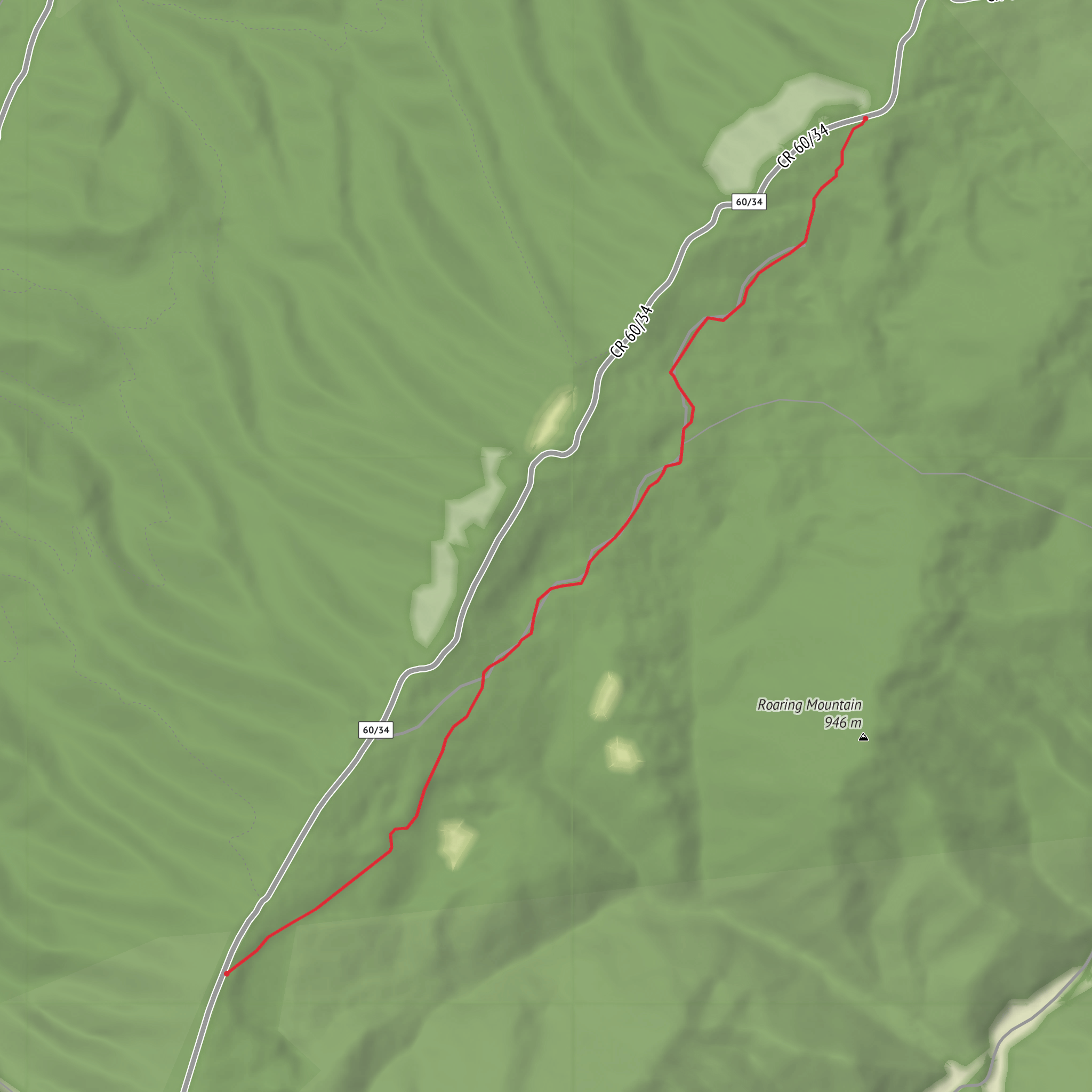
4) A map screenshot with the trailhead clearly visible.
Also confirm these (quick bullets are fine):
- Hike type: loop, out-and-back, or point-to-point?
- Surface: paved, gravel, dirt, boardwalk, mixed? (if you know)
- Any constraints you care about: dogs, strollers/wheelchairs, season (now vs summer), avoid mud, etc.
Once you provide the location, I’ll: - Give driving directions (where to park, typical access roads) and public transport options to the closest practical stop. - Include distance markers in km and miles, and elevation gain in metres and feet (even if it’s near 0 m / 0 ft). - Call out notable landmarks, habitat, likely wildlife, and what to watch for (ticks, poison ivy, flooding, trail junctions). - Reference HiiKER exclusively for navigation.
Surfaces
Ground
Comments and Reviews
User comments, reviews and discussions about the Holsapple Trail, West Virginia.
average rating out of 5
0 rating(s)
