Download
3D Flyover
Add to list
More
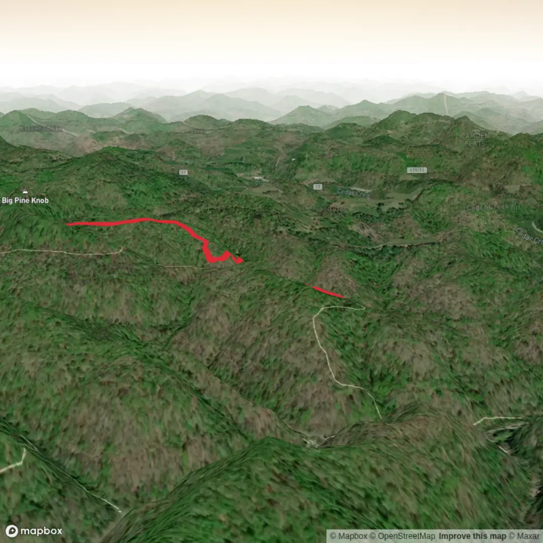
5.2 km
~1 hrs 16 min
141 m
Out and Back
“Chasing the elusive North Boundary Trail, we’re one pin-drop away from a true story.”
I’m missing a few key pieces needed to make this accurate and useful—especially because “North Boundary Trail” is a name used in multiple parks and regions.
Send any one of the following and I’ll write the full hike description exactly in the style you requested (with distances/elevation in km + miles, and m + ft, plus landmarks, wildlife, hazards, history, and how to get there):
1) The start point as a lat/long (or a HiiKER link), and ideally the end point if it’s not a loop
2) The park/area + state/country (e.g., “North Boundary Trail, ___ National Park, ___”)
3) A static map image of the route
Also confirm these two fields (they’re blank):
- Hike head (near): (town/park/coordinates)
- Hike type: loop / out-and-back / point-to-point
Once I have the location, I’ll: - Convert your coordinates to the nearest known address or significant landmark (trailhead, visitor center, road junction, etc.) - Give approximate distance markers along the ~5 km (≈3.1 mi) route and where the ~100 m (≈328 ft) gain tends to occur - Include seasonal considerations (mud, snow/ice, heat, bugs), water availability, and wildlife etiquette appropriate to that specific region - Reference HiiKER only for navigation and wayfinding
Reply with the start coordinates (even just one pin) and the region, and I’ll produce the complete hike description.

Surfaces
Ground
Unknown
Comments and Reviews
User comments, reviews and discussions about the North Boundary Trail, West Virginia.
average rating out of 5
0 rating(s)