Download
Preview
Add to list
More
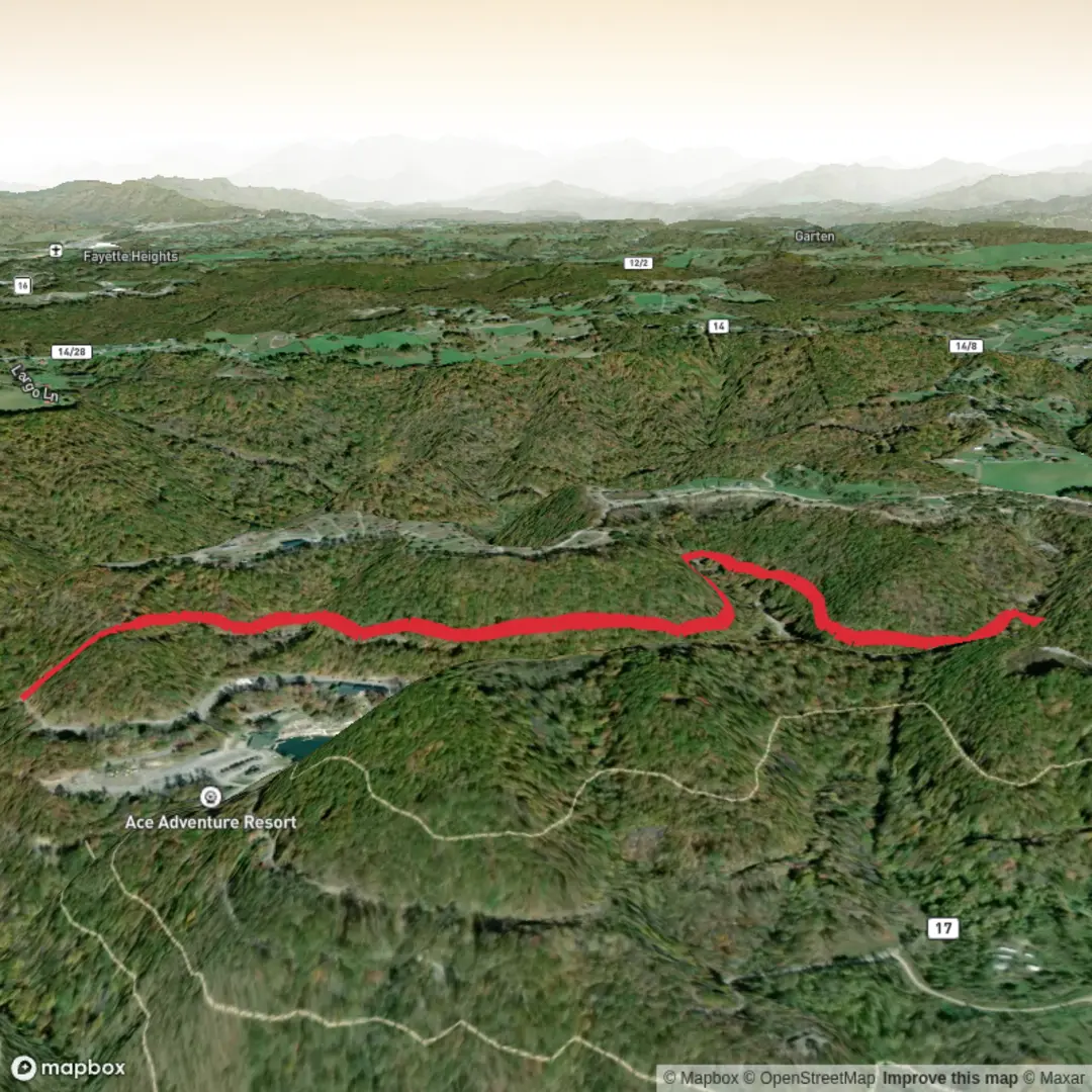
4.9 km
~1 hrs 2 min
37 m
Out and Back
“A colourful invite to pin down your trailhead, so the hike plan blooms accurate and personal.”
I’m missing a few key pieces of information needed to make this accurate and useful (especially the start location—right now it just says “near”). Share any of the following and I’ll turn it into a complete, plan-ready hike description with distances in km + miles, and any notable landmarks, wildlife, and local history.
Please send at least one of these:
1) Start point coordinates (lon/lat) (or a HiiKER link), or
2) The park/trailhead name + town/state, or
3) A map screenshot of the route.
If you do have coordinates, send them in any format (example: -122.4194, 37.7749). I’ll convert them to the nearest known address or significant landmark.
Also, if you know any of these, include them (optional but helpful): - Country/state/region (there are multiple “Tadpole Trail” routes in different places) - Loop or out-and-back (hike type) - Any seasonal notes you’ve heard (mud, flooding, closures) - Whether it’s paved, gravel, boardwalk, or dirt
Once I have the start location, I’ll include: - How to get there by car + public transport - What the 5 km (~3.1 mi) easy, mostly flat route feels like underfoot - Key waypoints with approximate distance markers - Likely wildlife/plant communities for that specific area - Any historical significance tied to the region - Navigation guidance using HiiKER (and what to watch for at junctions)

Comments and Reviews
User comments, reviews and discussions about the Tadpole Trail, West Virginia.
average rating out of 5
0 rating(s)