
Download
3D Flyover
Add to list
More
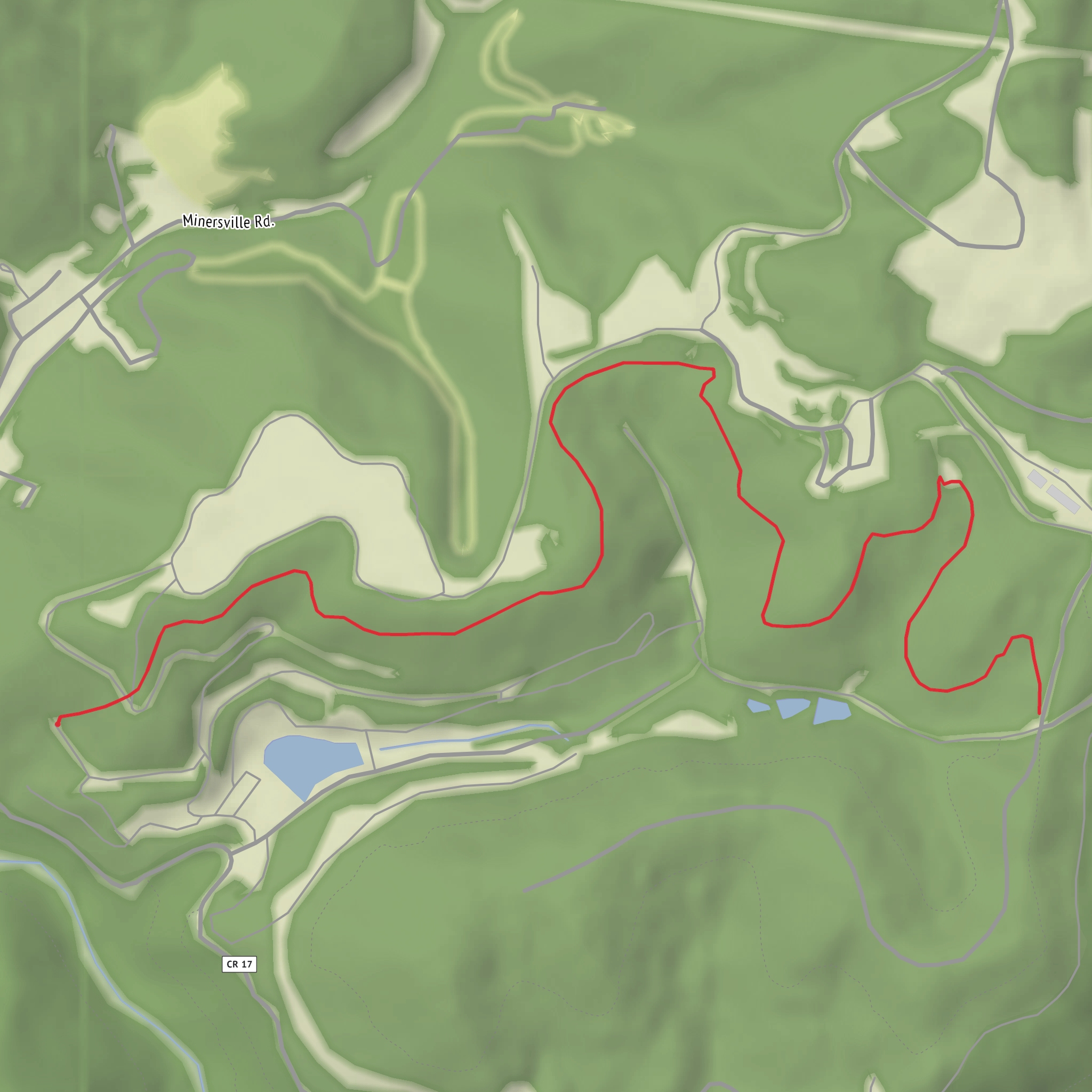
7.2 km
~1 hrs 32 min
56 m
Out and Back
“Share start details and hike type, and I’ll craft a gentle, planning-ready trail story.”
I’m missing a few key pieces of information to describe this accurately (and to convert the start point to a real-world address/landmark).
Send either:
- the start coordinates (lat, lon) for the trailhead (and ideally the end point too), or
- a map screenshot, or
- the nearest town/park/road name where the hike begins.
Also confirm these two items (even a best guess is fine): - Where is “near …” (it looks cut off in your details)? - Hike type: out-and-back, loop, or point-to-point?
Once I have that, I’ll write a full planning-ready description for a ~7 km / 4.3 mi easy hike with ~100 m / 330 ft gain, including: - what the tread is like (track, gravel, boardwalk, etc.), typical conditions, and what to watch for - key landmarks and likely flora/fauna - any local historical context tied to the specific area - how to reach the trailhead by car and public transport - navigation notes using HiiKER only - the trailhead described as the nearest known address or significant landmark (from your coordinates)
Comments and Reviews
User comments, reviews and discussions about the South Frog Hopper Trail, West Virginia.
average rating out of 5
0 rating(s)
