Download
Preview
Add to list
More
5.4 km
~1 hrs 6 min
20 m
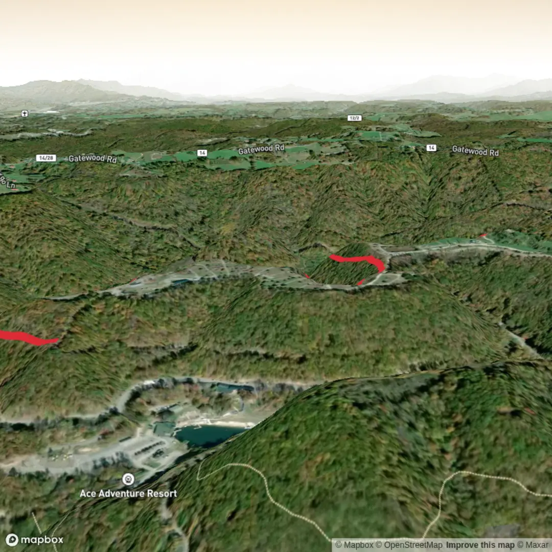
Out and Back
“A gentle, mostly level nature wander—watch for birds, wild edges, and occasional mud or bugs.”
A relaxed, mostly level out-and-back style walk of about 5 km (3.1 mi) with ~0 m (0 ft) of climbing, this route is best treated as a low-stress nature stroll: expect gentle grades, easy footing most of the way, and plenty of time to look around rather than down at your feet. Because the elevation change is essentially negligible, the main variables that affect difficulty here are trail surface (mud/sand/grass), recent rain, and insects rather than steepness.
Getting to the trailhead (car + public transport) - By car: Plan to park at the closest signed trail access or small pull-off near the start. If you share the longitude/latitude for the trailhead (or a map pin), I can convert it to the nearest known address or notable landmark and suggest the most practical parking approach (and any common overflow spots). - By public transport: If there’s service nearby, the simplest approach is usually bus to the nearest stop, then a short walk to the trail access. Send the nearest town/city (or coordinates) and I’ll identify the closest practical stop and walking approach. In many rural trail areas, public transport can be limited—so it’s worth confirming schedules before committing.
What the trail is like underfoot With an “Easy” rating and flat profile, you’re likely looking at a mix of: - Packed dirt or grass track: comfortable in trail runners; can get slick when wet. - Sandy or loose sections: slightly more tiring than the distance suggests, especially if the path crosses open, well-drained ground. - Short muddy patches after rain: the biggest “gotcha” on flat trails—mud can be deeper than expected even when the rest is dry.
Because the route is short, it’s ideal for beginners, families, or anyone wanting a quick loop/out-and-back without committing to big elevation or remote terrain.
Landmarks, scenery, and what to notice
On a short, flat 5 km (3.1 mi) hike, the “highlights” tend to be subtle and close-up: - Edge habitats: Pay attention where open areas meet shrubs/trees—these transition zones often have the most bird activity and wildflowers. - Wetland or low-lying pockets (if present): Flat trails often skirt drainage swales or seasonal puddle zones. These can be great for spotting amphibians and water-loving plants, but they’re also where mosquitoes concentrate. - Trail junctions and spurs: Easy trails sometimes have informal side paths. If you’re aiming to keep it simple, stick to the most worn tread and confirm your line with HiiKER at junctions.
Wildlife and plants (what to look out for) Without steep terrain, wildlife encounters are often more likely because you’re moving quietly and steadily: - Birdlife: Songbirds in brushy edges; raptors may cruise overhead in open stretches. - Small mammals: Rabbits, squirrels, and other small foragers are common along low-traffic sections. - Reptiles/amphibians (seasonal): On warm days, watch for basking reptiles on sunny trail edges; after rain, amphibians may be active near damp ground. - Insects: Flat, sheltered corridors can be buggy—bring repellent in warm months, and consider long sleeves if you’re sensitive.
If this is in tick country, do a quick tick check after the hike and consider light-colored clothing to spot them more easily.
Navigation and timing - Distance: ~5 km (3.1 mi) - Elevation gain: ~0 m (0 ft) - Typical time: Many hikers will take 1–1.5 hours, depending on stops for photos, kids, or wildlife watching. - Navigation: Even on easy terrain, bring HiiKER so you can confirm you’re on the intended track at any forks, and so you can quickly retrace your steps if you wander onto a side path.
Weather and trail conditions Because there’s little elevation change, conditions are driven by exposure and ground moisture: - After rain: expect puddles and soft ground; waterproof shoes help, or bring a spare pair of socks. - Hot/sunny days: flat trails can feel warmer than expected if there’s limited shade—carry water even for a short hike. - Wind: open flats can be breezy; a light layer can make the difference if temperatures drop.
What to pack for an easy 5 km (3.1 mi) flat hike - Water: at least 0.5–1 L per person (more in heat). - Footwear: trail runners are usually enough; choose something with grip if it’s been wet. - Bug protection: repellent; optional head net in peak mosquito season. - Sun protection: hat + sunscreen if the route is exposed. - Basic safety: small first-aid kit, and a charged phone with HiiKER downloaded/offline if coverage is spotty.
Historical significance (how I can tailor this accurately) “North Frog Hopper Arrow Trail” suggests a named local route that may tie to regional wayfinding, local folklore, Indigenous place-names, or a conservation area’s interpretive theme—but the exact historical context depends entirely on where it is. If you provide the trailhead coordinates (or the nearest town/park name), I’ll add: - the specific land history of the area (Indigenous nations connected to the landscape, settlement/land-use history), - any protected-area background (when it was established and why), - and any notable nearby historic sites within a short drive.
Send the **trailhead

Comments and Reviews
User comments, reviews and discussions about the North Frog Hopper Arrow Trail, West Virginia.
average rating out of 5
0 rating(s)