Download
Preview
Add to list
More
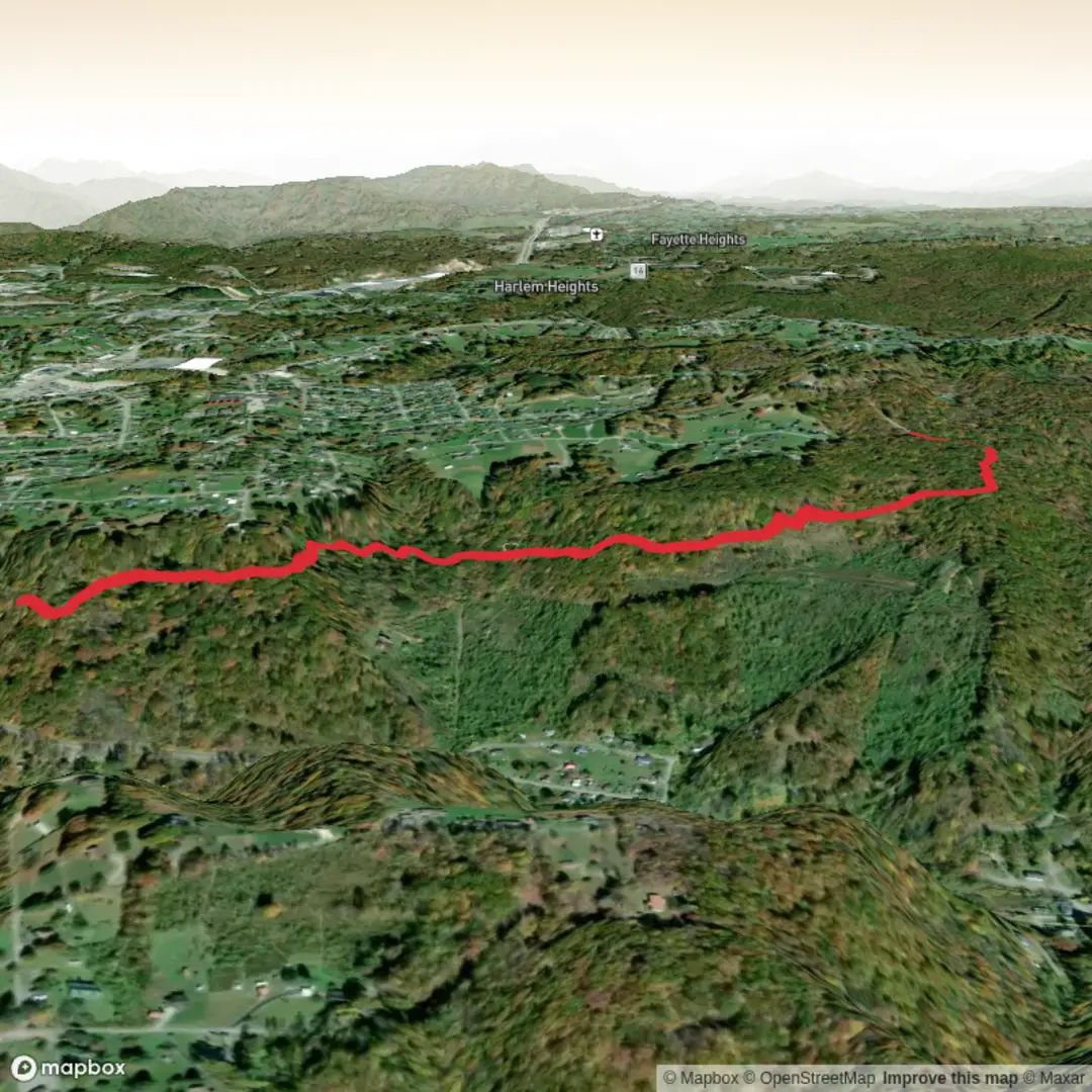
3.8 km
~54 min
89 m
Out and Back
“A compact, rolling wander with rocky quirks and viewpoint rewards—best enjoyed with sure footing.”
A compact, varied walk of about 4 km (2.5 mi) with roughly 100 m (330 ft) of climbing, this route is a good “medium” outing: short enough for a half-day, but with enough undulation, rock features, and viewpoint potential to feel like a proper hike. Expect a mix of easy path, short steeper pitches, and a few spots where footing matters—especially if the ground is damp.
Before I can tailor this properly (and convert any lon/lat to the nearest address/landmark), I’m missing a few key details from your hike card:
- Country/state/region for Needleseye Park Trail (there are similarly named places in different regions).
- The start location (“Hike head: near …” is incomplete).
- Hike type (loop, out-and-back, point-to-point).
- Any coordinates you want converted (lon/lat), if you have them.
Share any of the above (even just the nearest town or a pin), and I’ll write the full, ready-to-plan description with: - exact start landmark/address, - best parking/public transport approach, - turn-by-turn style expectations with distance/elevation in km/mi and m/ft, - notable landmarks and likely wildlife/vegetation, - and any historical context specific to that region.
If you don’t have coordinates, tell me the nearest town + park name (or the trailhead name shown in HiiKER), and I’ll take it from there.

Comments and Reviews
User comments, reviews and discussions about the Needleseye Park Trail, West Virginia.
average rating out of 5
0 rating(s)