Download
Preview
Add to list
More
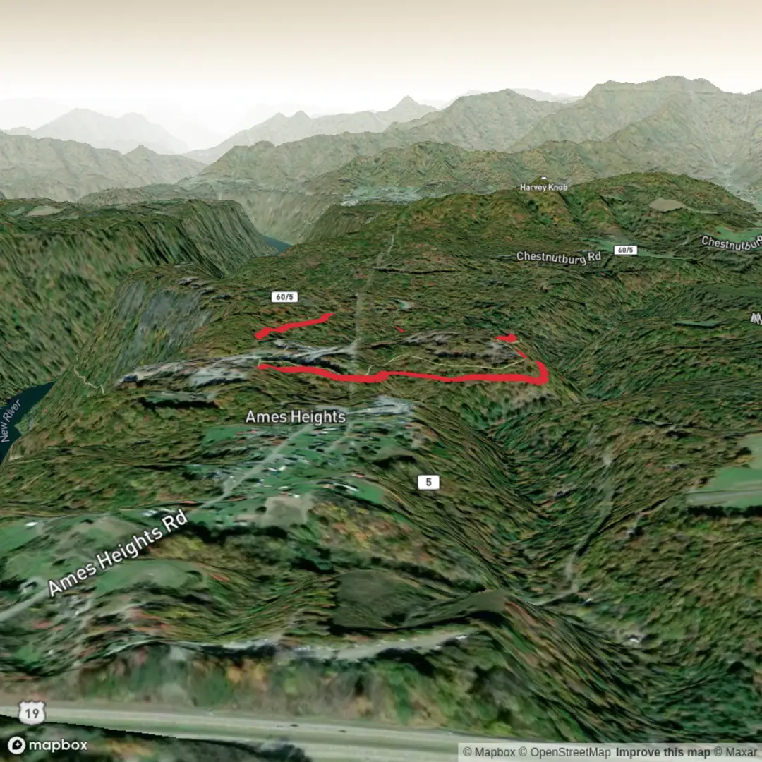
2.1 km
~24 min
0 m
Loop
“Stroll Mill Creek’s gentle, creekside green ribbon—linger for birdsong, bridges, and muddy surprises.”
Mill Creek A Trail is a short, mostly level outing at roughly 2 km (1.2 miles) with about 0 m (0 ft) of climbing, making it a good choice for a low-effort walk, a quick nature break, or a family-friendly leg-stretcher. Expect an easy pace, frequent opportunities to stop and look around, and terrain that’s generally forgiving—though conditions can change quickly near water.
Getting to the trailhead (car + public transport)
You’ve listed the hike start as “near” but didn’t include coordinates or a place name. If you share a lon/lat (or a map pin), I can convert it to the nearest known address or major landmark and give precise directions.
For now, here’s the practical approach that works for most “Mill Creek” trailheads: - By car: Search “Mill Creek Trailhead” (or the park/natural area name if you have it) and confirm you’re selecting the one that matches your region. Many Mill Creek trailheads are in city or county parks with a small signed lot, a gate, or roadside pullouts. Arrive early on weekends—short easy trails often fill up fast. - By public transport: If the trailhead is in/near a town, the most reliable method is usually bus to the nearest park entrance/arterial road, then a short walk. Once you provide the location, I can suggest the closest stop and a realistic walking route.
What the walk is like (surface, grade, and pacing)
With essentially no elevation gain, the route typically follows a creek corridor, park greenbelt, or flat woodland edge. Over 2 km (1.2 miles), most hikers will take 30–60 minutes depending on stops.
Common surfaces you may encounter: - Packed dirt or fine gravel: Usually stroller-friendly when dry, but can get slick after rain. - Boardwalk or short bridges: Often used where the creek floods or where wetlands need protection. - Muddy patches near the waterline: Even “flat” trails can be the slipperiest right beside a creek.
Because the grade is minimal, the main effort comes from footing rather than climbing—watch for roots, damp leaves, and small washouts where water crosses the path.
Landmarks and points of interest along the way
On a short creekside trail, the “highlights” tend to come quickly and repeat in small variations rather than building to a single big viewpoint. Typical features to look for along the first 0.5 km (0.3 miles): - Creek bends and undercut banks where water has carved into the soil—good places to spot fish or aquatic insects. - Riparian vegetation (plants that thrive near water), often denser and greener than the surrounding area. - Small footbridges/culverts where side-drainages pass under the trail.
Around 1.0 km (0.6 miles)—often the turnaround point on a 2 km out-and-back—you may find: - A bench, interpretive sign, or widened clearing (common in municipal nature trails). - A confluence where a smaller drainage joins the main creek, sometimes marked by a change in vegetation and bird activity.
If this trail is a loop, the second half often shifts slightly away from the creek onto drier ground, with fewer muddy spots but more leaf litter and roots.
Nature and wildlife to expect (and what to watch for)
Creek corridors concentrate wildlife activity, especially in the morning and near dusk. Depending on your region, you may see: - Songbirds (warblers, chickadees, wrens) working the shrubs along the water. - Water-associated birds (ducks, herons/egrets in some areas) in slower pools. - Amphibians (frogs, salamanders) in damp shaded sections—most active after rain. - Small mammals (squirrels, rabbits) and signs like tracks in soft mud.
Things to look out for: - Ticks in brushy edges—stay centered on the tread and do a check afterward. - Poison ivy/oak depending on your state—avoid brushing against shiny three-leaf clusters. - Mosquitoes near still water—especially in warm months after rain. - High water after storms: Even a small creek can rise fast; avoid stepping onto flooded trail edges where the ground can be undermined.
Navigation and on-trail awareness
Even on an easy, short route, it’s worth confirming you’re on the intended path—especially if there are side spurs to the creek or neighborhood connectors. - Use HiiKER to confirm the correct start point, identify any junctions, and check whether the route is an out-and-back or loop. - If the trail parallels the creek, it’s easy to follow “the water” and accidentally take a social path—stick to the most established tread and any posted signage.
Historical significance (what’s commonly tied to creek corridors)
Without the exact location, the most common historical themes for “Mill Creek” areas are: - Indigenous land use and travel corridors: Creeks were natural routes and resource areas (water, fish, plant gathering). - Milling and early settlement: Many “Mill Creek” names come from historic gristmills or sawmills that used water power; remnants can include old foundations, mill races, or place names on signs. - Rail/industrial or agricultural history: Creek valleys were often used for early transport routes or farming due to flatter terrain and water access.
If you provide the trail’s coordinates or the nearest town/

Comments and Reviews
User comments, reviews and discussions about the Mill Creek A Trail, West Virginia.
average rating out of 5
0 rating(s)