Download
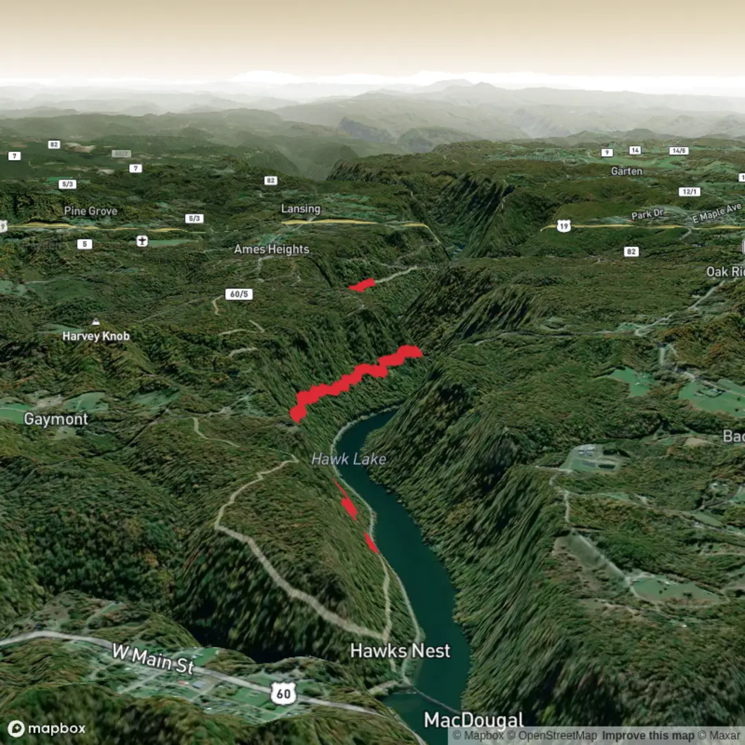
3D Flyover
Add to list
More
5.2 km
~1 hrs 7 min
56 m
Point-to-Point
“Share the trailhead, and we’ll shape a vivid, measured Hawks Nest Connector walk—no guesswork.”
I’m missing a few key pieces of information needed to make this accurate and useful (especially the start location). Please send either:
1) the GPS coordinates (lat, lon) for the trailhead (or a GPX/AllTrails/HiiKER link), or
2) the nearest town/park/road name where you start, plus the state/province and country.
Right now your “Hike head: near” and “Hike type:” fields are incomplete, and “Hawks Nest Connector Trail” exists in more than one place—so I can’t reliably convert coordinates to a nearby address/landmark or give correct transport directions and local hazards without guessing.
Once you share the trailhead location, I’ll produce a full hike description for ~5 km / 3.1 mi with ~100 m / 328 ft gain, including:
- step-by-step expectations by distance (km + miles) and where the climbing happens
- notable landmarks and viewpoints
- typical flora/fauna and seasonal considerations
- surface/footing, accessibility notes, and what to watch out for
- historical context for the area
- how to reach the start by car and public transport
- navigation guidance referencing HiiKER only
- converting any lon/lat you provide to the nearest known address or significant landmark
Send the trailhead coordinates (or the nearest named place), and I’ll write it in the exact style you requested (no “Trail Description:” label, at least one mid-section sub-heading, no conclusion section).
Comments and Reviews
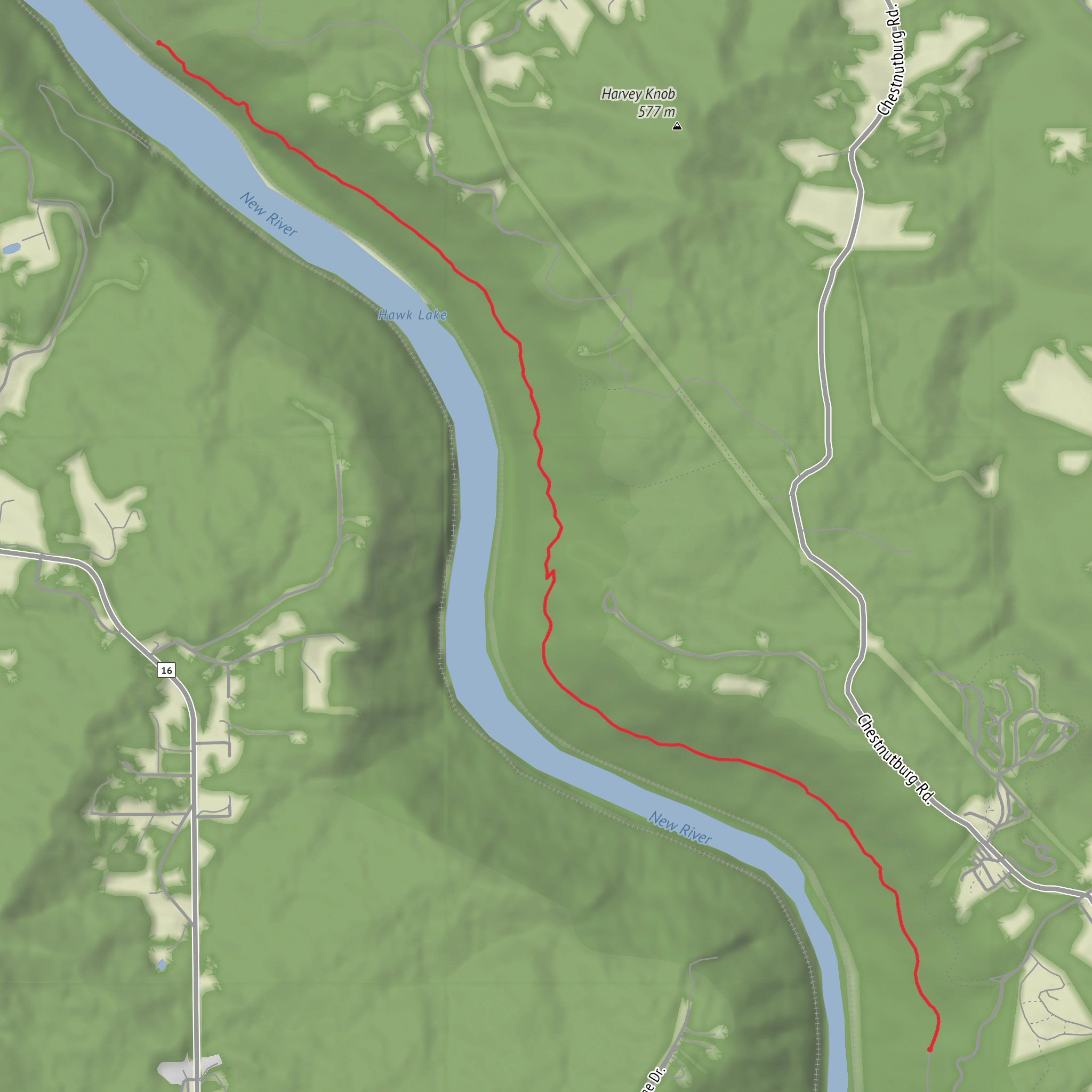
User comments, reviews and discussions about the Hawks Nest Connector Trail, West Virginia.
average rating out of 5
0 rating(s)
