
Download
3D Flyover
Add to list
More
2.7 km
~31 min
0 m
Loop
“Glide a smooth, level greenway past pocket parks and creek bridges for an easy out-and-back.”
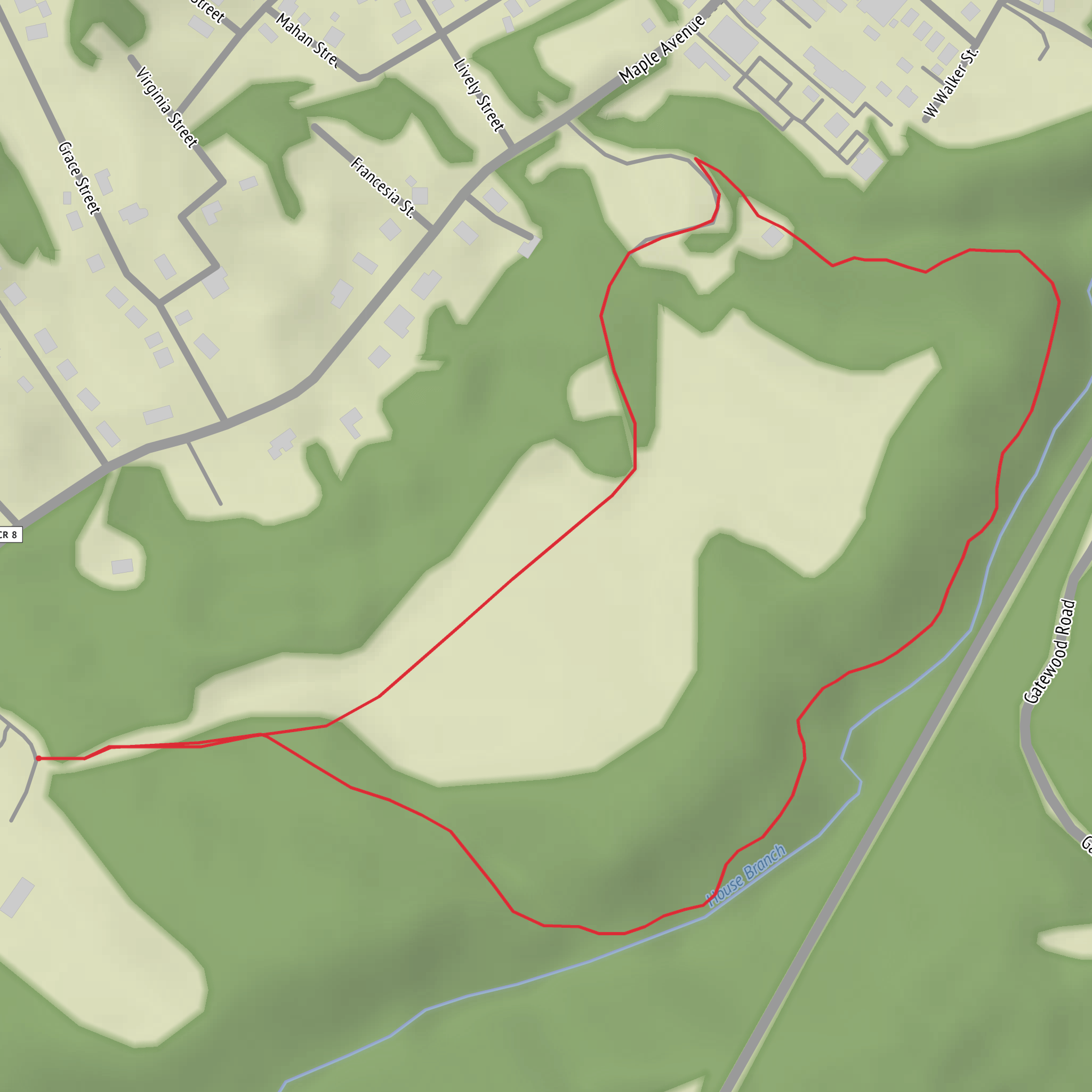
A short, mostly level, paved multi-use path that works well for a relaxed walk, an easy jog, or a family-friendly roll with a stroller or wheelchair. At around 3 km (1.9 miles) with roughly 0 m (0 ft) of climbing, it’s best planned as a gentle out-and-back or a small loop using nearby connecting sidewalks/greenway spurs, depending on which access point you choose.
Getting to the start (car + public transport)
Because “near” and the exact trailhead coordinates weren’t included, the most reliable way to choose a start is to pick a prominent access point along the corridor—typically one of these: - A city park trail access (look for signed greenway entrances and small parking pull-ins) - A downtown/central trail access near civic buildings, libraries, or a main commercial street - A school/sports complex access where paths often connect to fields and neighborhood sidewalks
By car: Search in HiiKER for “Fayetteville Recreation Trail” and select the access point with parking. If the trail runs through a park, parking is usually in a main lot with posted hours; if it runs through neighborhoods, parking may be curbside—watch for residential restrictions.
By public transport: If Fayetteville’s local buses serve the corridor, the easiest plan is to ride to the nearest stop on a main arterial road, then walk 0.2–0.8 km (0.1–0.5 miles) to the closest signed trail entrance. Use HiiKER to identify which access point is closest to a bus stop and to avoid dead-end sidewalk gaps.
If you share the lon/lat for your intended start, I can convert it to the nearest recognizable address or landmark and tailor the directions precisely.
What to expect underfoot and on the corridor - Surface: Most recreation trails of this type are paved asphalt or concrete, typically smooth and consistent—ideal for easy pacing and predictable footing. - Grade: With essentially no elevation gain, you’ll feel very little change in effort; any “ups and downs” are usually just gentle ramps at road crossings or underpasses. - Width & traffic: Expect a multi-use feel—walkers, runners, cyclists, kids on scooters. Keep right, pass on the left, and anticipate faster traffic near straightaways.
Landmarks and points of interest along the way On a 3 km (1.9 mile) recreation trail, the highlights tend to be “everyday landmarks” that make the walk pleasant and easy to navigate: - Trail signage and mile markers (if present) that help you pace the out-and-back - Small bridges/culverts over drainage channels or creeks—often the most scenic photo spots - Pocket parks, playgrounds, or sports fields adjacent to the corridor - Street crossings at major roads—these become your main “decision points” for navigation
If the trail passes near a historic downtown or older neighborhoods, you may also notice: - Older street grids and legacy rail/utility corridors (many recreation trails follow former rail alignments or long-established right-of-ways) - Interpretive plaques in parks that reference local settlement, industry, or transportation history
Nature, wildlife, and seasonal conditions
Even in town, these green corridors concentrate wildlife and plant life: - Birdlife: Songbirds in shrubs and canopy trees; waterfowl if there’s a pond/creek segment. Early morning is typically the most active. - Small mammals: Squirrels, rabbits, and occasionally foxes in quieter stretches. - Plants: Expect a mix of maintained turf, native or ornamental trees, and riparian vegetation near any water. In spring and early summer, edges can grow quickly and narrow the “feel” of the path even if the pavement stays clear.
Seasonal notes: - After rain: Paved trails can collect thin silt at low points and near culverts—watch for slick patches, especially under shade. - Heat and sun: With minimal climbing, the main challenge can be exposure. If the corridor is open (few trees), plan water even for a short 3 km (1.9 mile) outing. - Winter/shoulder seasons: Shaded sections can hold frost/ice longer than nearby streets.
Road crossings and safety to plan for Most easy recreation trails are only “easy” if you treat crossings and shared-use etiquette seriously: - Crossings: Expect a few at-grade road crossings. Use marked crosswalks where available, and assume drivers may not yield even if signage suggests they should. - Driveways and parking-lot spurs: These can be the most common conflict points with vehicles. - Cyclists: On straight, flat paths, bikes can move quickly. Keep children close and avoid sudden lateral moves. - Dogs: Leashed dogs are common; be ready for retractable leashes spanning the path.
Navigation (keep it simple) This is a straightforward corridor hike: open HiiKER, confirm your chosen access point, and follow the main paved line. If there are spurs, use HiiKER to verify which branch continues the Recreation Trail versus which one heads into a neighborhood sidewalk network or park loop.
Planning your 3 km (1.9 mile) outing - Time: Most people will take 35–60 minutes at an easy walking pace with pauses. - Water: A small bottle is usually enough, but bring more in warm weather or if fountains are seasonal. - Footwear: Comfortable walking shoes are fine; traction matters more in wet/leafy conditions than ankle support. - Accessibility: With near-zero elevation change and a paved surface, it’s often suitable for mobility
Comments and Reviews
User comments, reviews and discussions about the Fayetteville Recreation Trail, West Virginia.
average rating out of 5
0 rating(s)
