Download
Preview
Add to list
More
3.1 km
~37 min
0 m
Out and Back
“A gentle, shaded creekside wander to a misty waterfall view—watch for mud and slick rocks.”
A short, mostly level out-and-back (or lollipop-style, depending on which spur you choose) that follows Falls Creek through cool, shaded forest to a waterfall viewpoint. At roughly 3 km / 1.9 mi with about 0 m / 0 ft of climbing, it’s well-suited to families, casual walkers, and anyone looking for a low-effort nature walk—just plan for wet ground and slippery rocks near the water.
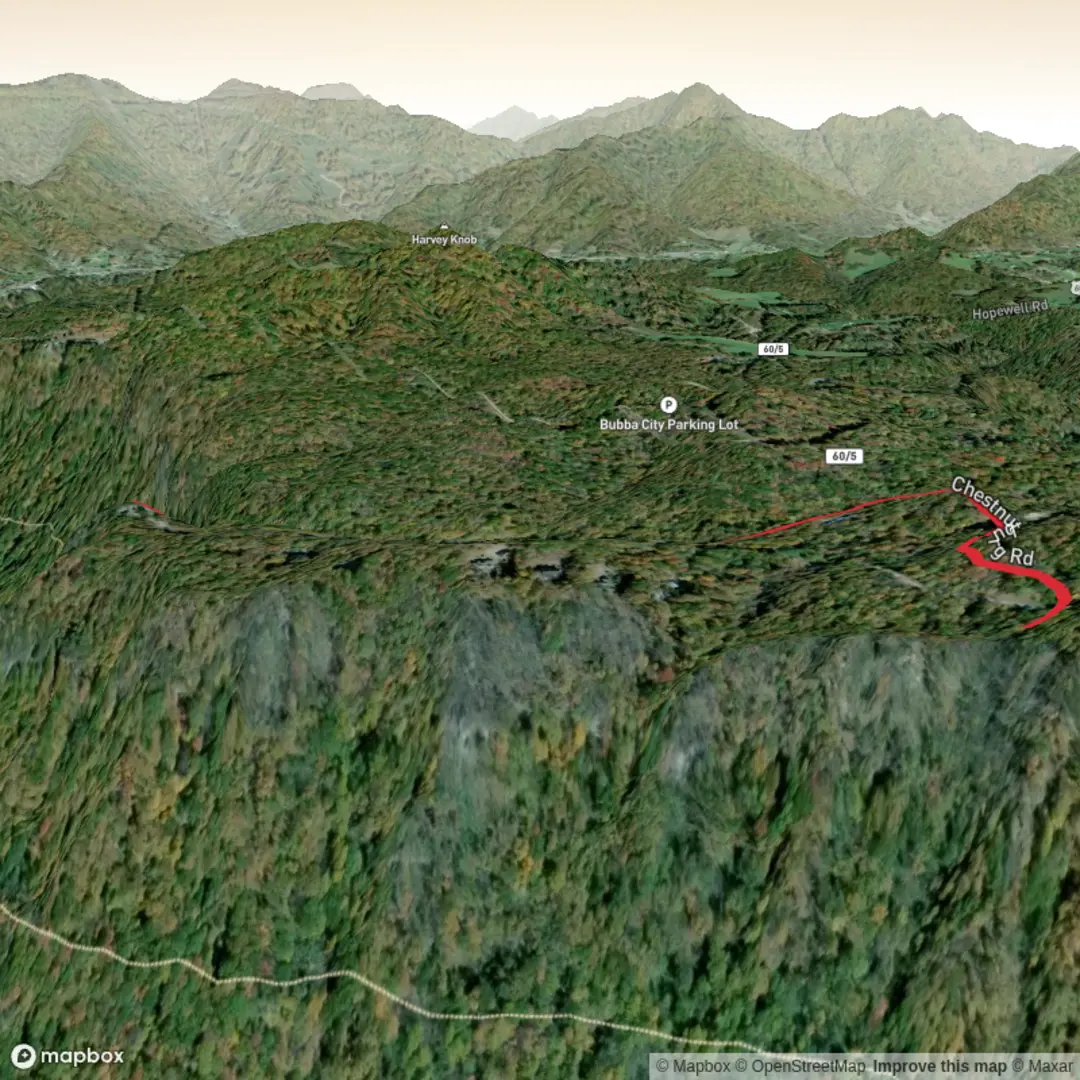
Getting to the trailhead (car + public transport)
You didn’t include the exact “near …” location or coordinates, and there are multiple “Falls Creek Trail” hikes in the U.S. and elsewhere. If you share a lon/lat (or a park name/state), I can pin the nearest known address or landmark for the trailhead and give precise directions.
In the meantime, here’s how these trailheads are typically accessed: - By car: Most Falls Creek trailheads are reached via a paved highway followed by a short stretch of well-graded forest or park road. Expect a small pullout or signed parking area rather than a large lot. Arrive early on weekends—easy waterfall walks fill up quickly. - By public transport: If the trail is near a town, the usual pattern is bus/train to the nearest transit hub, then a rideshare/taxi for the last few miles/km to the trailhead. Many waterfall trailheads are outside reliable transit coverage, so check the last-mile options before committing.
What the walk is like underfoot
Because the elevation gain is essentially flat, the “difficulty” comes from surface conditions, not steepness: - Trail tread: Expect packed dirt with sections of gravel, plus roots and mud in shaded areas. Near the creek, the path often narrows and can be uneven where water undercuts the bank. - Wet zones: Even in dry weather, creekside trails commonly have seeps and damp patches. After rain, puddles and slick clay can linger. - Footwear: Light hikers or trail runners are fine, but choose something with good grip—the last few hundred metres/yards near a falls viewpoint is often the slickest.
Landmarks and natural highlights
On a 3 km / 1.9 mi route, the points of interest come quickly and tend to cluster near the water:
0.0–0.8 km (0.0–0.5 mi): Creekside forest and first crossings
The opening stretch is usually the most sheltered, with the sound of moving water nearby. Watch for small side paths leading to the creek—some are harmless viewpoints, others are social trails that end at unstable banks.0.8–1.5 km (0.5–0.9 mi): Riparian corridor and mossy rock gardens
This is often the prettiest section: ferns, moss, and moisture-loving plants thrive here. In spring and early summer, look for wildflowers along the edges where sunlight reaches the understory.1.5 km (0.9 mi): Waterfall viewpoint / falls area
Many Falls Creek routes culminate at a falls overlook or a rocky apron near the base. Expect:- Mist that can chill you even on warm days
- Slippery rock (algae-polished stone is like ice)
- Crowding at the best photo spots—be patient and avoid stepping off durable surfaces
- Mist that can chill you even on warm days
If the trail continues a short spur beyond the main viewpoint, it’s often to a second angle on the falls or a calmer pool upstream. Treat any unsigned spur cautiously—creek banks can collapse without warning.
Wildlife you might see (and what to watch for)
Creek corridors concentrate wildlife activity, especially early and late in the day: - Birds: Songbirds in the canopy; near water you may spot dippers or swallows depending on region. - Amphibians: Salamanders and frogs often hide under logs and stones in damp areas—avoid flipping rocks or disturbing stream edges. - Mammals: Deer are common; smaller mammals (squirrels, chipmunks) are frequent around trailheads. - Biting insects: Mosquitoes and gnats can be intense near still pools—pack repellent in warm months. - Ticks (many U.S. regions): Stay on-trail, do a post-hike check, and consider long socks if vegetation crowds the path.
Navigation and on-trail decision points
Even easy, short trails can have confusing junctions—especially where social paths braid near the creek.
- Use HiiKER to confirm you’re on the main line when you encounter:
- Unmarked spurs to the water
- Forks where one branch climbs slightly away from the creek
- Old maintenance tracks that look “trail-like” but dead-end
Cell service is often inconsistent in creek drainages, so download your HiiKER map for offline use before you arrive.
Safety and comfort planning for a flat waterfall walk
- Time needed: Most hikers take 45–90 minutes round trip for 3 km / 1.9 mi, depending on stops at the falls.
- Water: You may not need much for a short walk, but bring at least a small bottle—cool, damp air can mask dehydration.
- Creek hazards: Avoid stepping onto wet logs, angled bedrock, or undercut banks. If there’s any informal “crossing,” don’t assume it’s safe—turn around if it looks sketchy.
- Kids/dogs: The flat grade is great, but keep close near

Comments and Reviews
User comments, reviews and discussions about the Falls Creek Trail, West Virginia.
average rating out of 5
0 rating(s)