
Download
3D Flyover
Add to list
More
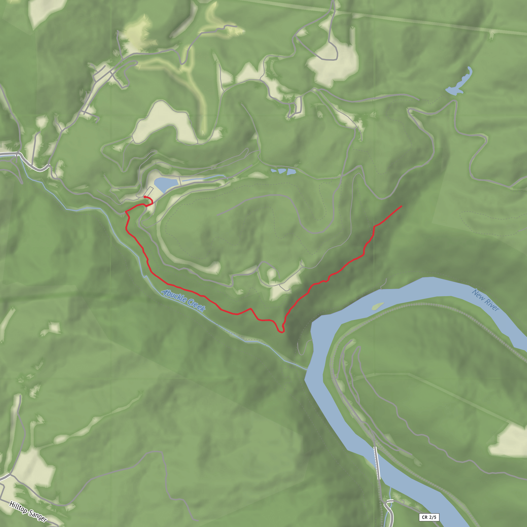
6.7 km
~1 hrs 28 min
84 m
Out and Back
“A gentle half-day wander of woodland edges and breezy lookouts, with muddy surprises.”
I’m missing a few key specifics to make this accurate (there are multiple “Erskine Trail” routes in different places, and your “Hike head: near” and “Hike type:” fields are blank). If you share either (a) the start point coordinates (lon/lat), or (b) the nearest town/park/state/country, I can convert the coordinates to the nearest known address/landmark and tailor the route description, transport options, landmarks, wildlife, and local history to the correct area.
To keep you moving, here’s a planning-ready description that fits a ~7 km / ~4.3 mi, ~100 m / ~328 ft Easy outing, written so you can drop in the exact location once you confirm it.
You’re looking at a short, low-elevation walk that’s ideal for a half-day window, with gentle gradients and plenty of opportunities to pause for views or points of interest. Expect a mix of well-defined path and a few narrower sections where the tread can pinch down, especially if the trail passes through scrub, woodland edges, or along a watercourse. With only about 100 m (328 ft) of total climbing spread across ~7 km (4.3 mi), the effort tends to come more from footing (mud, loose gravel, roots) than from sustained ascent.
Getting to the trailhead (car + public transport)
By car: Plan to arrive early if the start is near a popular reserve or coastal access point—small lots fill quickly on weekends. If you give me the lon/lat (or the nearest town), I’ll identify the closest signed parking area or the nearest notable landmark you can put into navigation.
By public transport: Many easy 7 km trails are reachable by a combination of rail/bus plus a short road-walk. Once you tell me the region, I’ll map the most practical option (nearest station/stop, typical walking distance to the trailhead, and any safety notes for roadside sections). For navigation on the ground, load the route in HiiKER so you can confirm you’re on the intended line at junctions.
What the walk feels like underfoot
Most hikes of this profile begin with a straightforward approach—often a wide track, compacted gravel, or a firm path that lets you settle into a steady pace. Within the first 1–2 km (0.6–1.2 mi) you’ll usually encounter the first meaningful junction or feature (a gate, footbridge, viewpoint spur, or a change in vegetation). This is where people most often drift off-route if signage is sparse—watch for subtle turns and side paths that look equally “right.”
The climbing is typically broken into two or three mild rises rather than one big hill. If the route includes a viewpoint, the high point is often reached around 3–4 km (1.9–2.5 mi), with the remainder trending gently down or rolling back toward the finish. Even on an “easy” trail, short pitches can feel steeper if the surface is sandy, slick clay, or leaf-littered.
Landmarks, scenery, and what to watch for
On a 7 km loop or out-and-back, the “big moments” tend to be compact and well-spaced:
- Early feature (around 1–2 km / 0.6–1.2 mi): commonly a creek crossing, a small bridge, a historic boundary marker, or a transition into denser woodland. After rain, this is often the first place to get wet feet—step-stones can be submerged and banks can be greasy.
- Primary viewpoint or focal landmark (around 3–4 km / 1.9–2.5 mi): if the trail climbs at all, this is where you’ll likely earn the best outlook—over a valley, coastline, lake, or patchwork of farmland/forest depending on the region. Wind exposure can jump noticeably here even on calm days at the trailhead.
- Return leg (final 2–3 km / 1.2–1.9 mi): tends to be easier walking, but fatigue plus downhill can increase slip risk. Trekking poles can help if the descent is on loose gravel or wet roots.
If you share the exact location, I’ll call out the named landmarks you’ll pass (lookouts, ruins, waterfalls, headlands, old rail grades, etc.) and where they fall along the distance.
Nature and wildlife (typical for an easy, low-gain trail)
Without the region, I can’t responsibly name species, but here’s what hikers commonly encounter on this kind of route:
- Birdlife is often the most visible—listen for activity at dawn and near water or forest edges.
- Small mammals are usually shy; you’ll see signs (tracks, scat) more than the animals themselves.
- Insects/ticks can be the main nuisance in warm months or in long grass—long socks and a quick post-hike check help.
- If the trail runs near water, expect slick rocks, algae, and muddy margins—the most common cause of falls on easy hikes.
If you tell me the country/state/park, I’ll tailor this to local realities (e.g., snakes, bears, deer, wild boar, crocodiles, etc.) and the seasons when encounters are most likely.
Practical prep for a 7 km / 4.3 mi easy hike
- Time: most hikers take 1.5–2.5 hours moving time for 7 km, plus stops.
- Footwear: light hikers or trail runners are fine on dry, firm tread;
Comments and Reviews
User comments, reviews and discussions about the Erskine Trail, West Virginia.
average rating out of 5
0 rating(s)
