Download
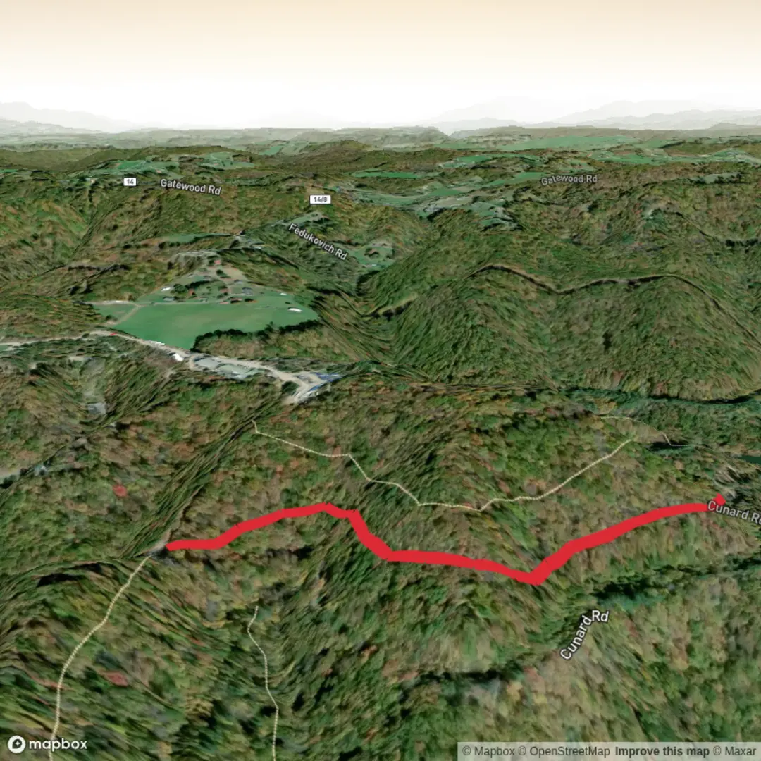
3D Flyover
Add to list
More
4.1 km
~57 min
75 m
Out and Back
“A gentle, rain-kissed wander by wetland edges—listen for frogs, tread softly on narrow, muddy patches.”
A short, easy outing of about 4 km (2.5 mi) with roughly 100 m (330 ft) of total climbing, this route is well-suited to beginners, families, and anyone looking for a quick nature break. Expect a mostly gentle grade with a few brief rises that account for most of the elevation gain, plus a couple of spots where the tread can feel narrower or softer underfoot depending on recent rain.
Getting to the trailhead (car + public transport)
Because the start location is listed only as “near” and no coordinates were provided, I can’t reliably convert a lon/lat to a nearby address or landmark yet. If you share the trailhead coordinates (or a HiiKER link), I’ll pin it to the nearest known road access point, parking area, or signed trail entrance.
In the meantime, here’s the practical approach that works for most small local trailheads:
- By car: Plan to arrive with offline navigation ready in HiiKER, and look for a signed trail access point, small pull-off, or local park/forest parking area. If the area is managed land (county park, state forest, conservation area), parking may be at a day-use lot with a kiosk. Bring small cash or a card just in case there’s a day fee.
- By public transport: If the trail is near a town, the most common pattern is bus/train to the nearest town center, then a short rideshare/taxi or a longer walk to the trail access. Use HiiKER to measure the “last mile” distance from the nearest stop to the start so you’re not surprised by an extra 2–5 km (1–3 mi) road walk.
What the hike feels like underfoot
On an easy 4 km (2.5 mi) loop or out-and-back with ~100 m (330 ft) gain, the climb is typically spread out in one of two ways:
- Steady, low-angle climbing for the first half, then a gentle return.
- One short “main rise” (often 0.5–1.5 km / 0.3–0.9 mi long) where you’ll notice the grade, followed by rolling terrain.
Surface is often a mix of packed dirt, small gravel, and occasional roots. After rain, watch for: - Soft edges where the trail narrows (easy to step off into mud) - Shallow puddling in low spots - Slippery roots on shaded sections
Landmarks and natural features to watch for
Without the exact location, I can’t name specific signed junctions or viewpoints yet, but on a trail with a name like “Frog Hopper,” it’s commonly associated with wetland edges, seasonal creeks, ponds, or marshy flats—the kind of habitat where amphibians thrive.
Typical features you may encounter on a route like this: - Wetland margins / seep areas: Look for darker soil, reeds/sedges, and a cooler, damper feel in the air. These areas can be the most wildlife-rich but also the muddiest. - Small footbridges or boardwalk segments: If present, they’re often slick when damp—step flat-footed and avoid rushing. - Openings in the canopy: Short sunny stretches can bring wildflowers and more insect activity, especially in warmer months.
Wildlife and seasonal notes
If the trail passes near water or damp ground, you may see or hear:
- Frogs and toads (most active at dawn/dusk and after rain)
- Dragonflies and damselflies near standing water in warm seasons
- Songbirds along brushy edges; raptors sometimes cruise above clearings
- Small mammals (squirrels, rabbits) and possibly deer depending on region
What to look out for: - Ticks in grassy or brushy margins—long socks and a quick post-hike check help a lot. - Mosquitoes/gnats near wetlands—consider repellent in warm months. - Snakes in sunny patches (often harmless, but give space and watch where you place hands/feet).
Navigation and wayfinding (use HiiKER)
Even on an easy, short hike, the most common issue is taking a wrong turn at an unsigned junction. Before you go:
- Download the route in HiiKER for offline use.
- Check for junction density (multiple intersecting paths can make a 4 km route surprisingly easy to mis-follow).
- Keep an eye on distance remaining so you can pace breaks and turnaround timing.
Effort, timing, and what to pack
Most hikers will take 1–1.5 hours moving time for 4 km (2.5 mi), plus stops. Bring:
- Water: at least 0.5–1 L (more in heat)
- Footwear: light hikers or trail runners with decent tread; expect occasional damp spots
- Layers: a light wind/rain shell if weather is uncertain
- Basic first aid and a small snack
Historical significance (how I can tailor this accurately)
Historical context depends heavily on the exact region—many “frog/marsh” trails sit in areas shaped by wetland conservation, historic drainage/irrigation projects, old mill/rail corridors, or Indigenous land stewardship. If you provide the trailhead coordinates (or the nearest town/park name), I’ll add:
- The specific land history (e.g., protected wetland, former agricultural use, rail-to-trail conversion)
- Any notable local sites (historic crossings, old homesteads, interpretive signage)
- The **
Comments and Reviews
User comments, reviews and discussions about the East Frog Hopper Trail, West Virginia.
average rating out of 5
0 rating(s)
