Download
3D Flyover
Add to list
More
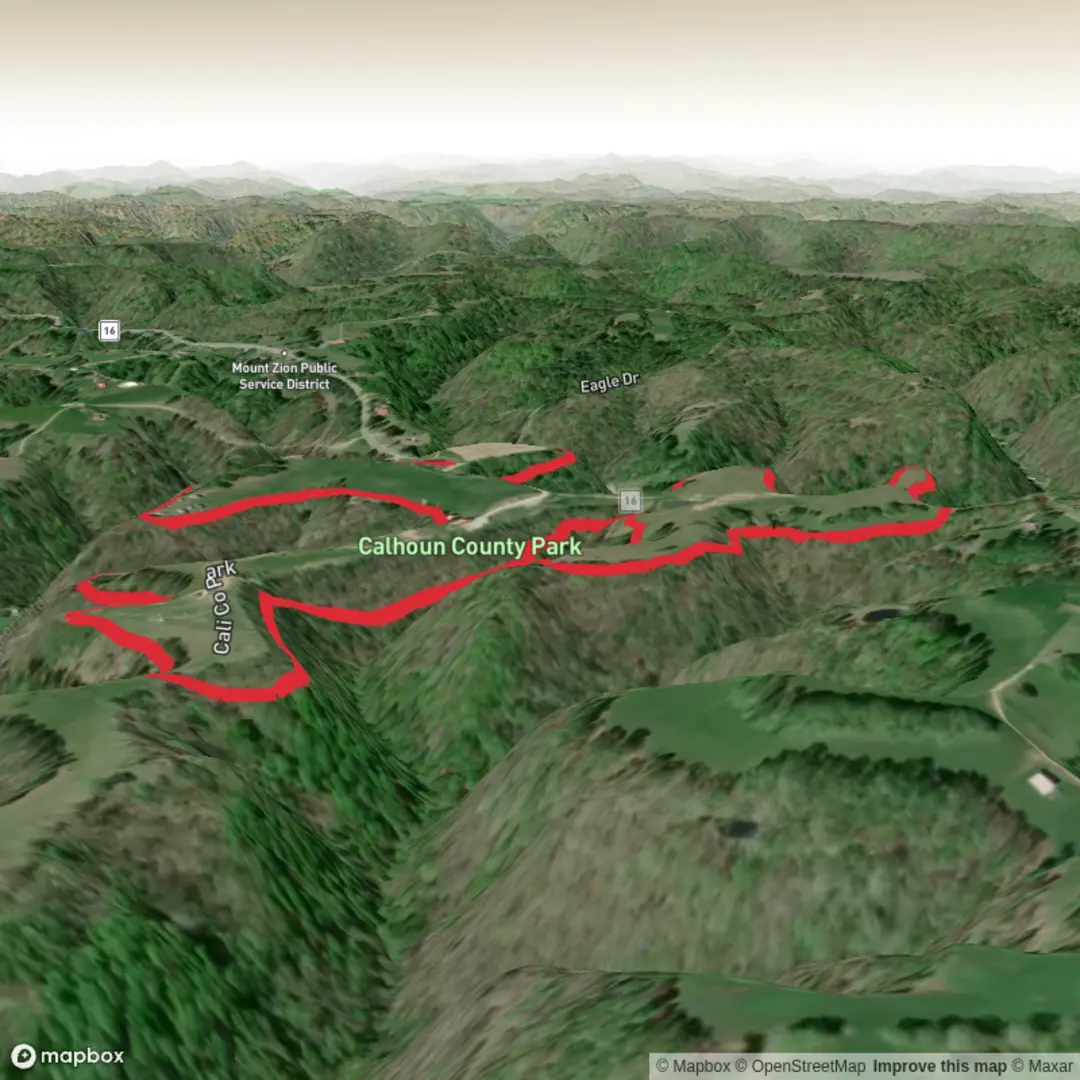
5.6 km
~1 hrs 9 min
14 m
Loop
“A breezy riverfront ramble with history, birdsong, and flexible turn-back points on a shared path.”
This easy, mostly level out-and-back (or point-to-point if you arrange a shuttle) is best planned as a ~6 km / 3.7 mi stroll with near‑zero elevation gain (about 0 m / 0 ft)—ideal for a relaxed walk, a recovery day, or anyone who wants river views and local history without hills. Expect a wide, shared-use path where walkers, runners, and cyclists mix, with frequent access points and plenty of “turn around whenever you like” flexibility.
Getting to the start (car + public transport)
Because “near” wasn’t specified for the hike head, the most reliable way to pin down the exact trailhead/parking and the nearest known address/landmark is to open the route in HiiKER and use its start-point coordinates. If you share the trailhead lon/lat (or a HiiKER link), I can convert it to the nearest street address or prominent landmark and tailor the directions precisely.
In the meantime, plan like this: - By car: Aim for a public riverfront parking area close to the signed memorial segment (often near a downtown/wharf-style district or rail-trail access). Arrive early on weekends—flat river trails are popular and parking fills first. - By public transport: Riverfront multi-use trails are commonly served by city bus routes that stop downtown; from there it’s usually a short walk to the trail access. Use HiiKER to identify the closest access point to a transit stop and minimize road-walking.
What to bring for an easy, flat 6 km / 3.7 mi: - Comfortable walking shoes (paved or finely crushed gravel surfaces are common on memorial/rail-trail style paths) - Water (even short, flat walks feel longer in sun and humidity) - Sun/wind layer—river corridors can be breezy and exposed - A small light if you might finish near dusk (underpasses and tree-lined stretches get dim early)
What the walk is like (surface, flow, and pacing)
With essentially no climbing, the “effort” comes from surface and exposure rather than elevation: - Surface: Typically smooth and consistent; watch for occasional rough patches, expansion joints, or short uneven transitions at road crossings. - Crowds: Expect the busiest sections near access points, parks, and any waterfront district features. The middle stretches usually thin out. - Crossings: Even on separated paths, you may encounter a few road or driveway crossings—treat them as the main hazard points (turning vehicles, distracted drivers).
A practical way to break up the distance: - 0–1.5 km (0–0.9 mi): Settling in—often the most “urban” feeling, with signage, benches, and other users. - 1.5–3 km (0.9–1.9 mi): Quieter corridor—more continuous river/woods edge, steadier rhythm. - 3 km (1.9 mi): Natural turnaround for a 6 km / 3.7 mi out-and-back.
Landmarks, nature, and wildlife to look for
On flat river-corridor trails, the highlights tend to be water, bridges, and riparian habitat: - River views and bank habitat: Look for willows, sycamores/cottonwoods, and dense green understory in season—classic riparian vegetation. - Birdlife: Expect common river and edge species—songbirds in shrubs, waterfowl in calmer sections, and raptors overhead using the corridor as a travel route. - Small mammals: Squirrels

Comments and Reviews
User comments, reviews and discussions about the Sgt Gene A Vance Memorial Trail, West Virginia.
average rating out of 5
0 rating(s)