Download
3D Flyover
Add to list
More
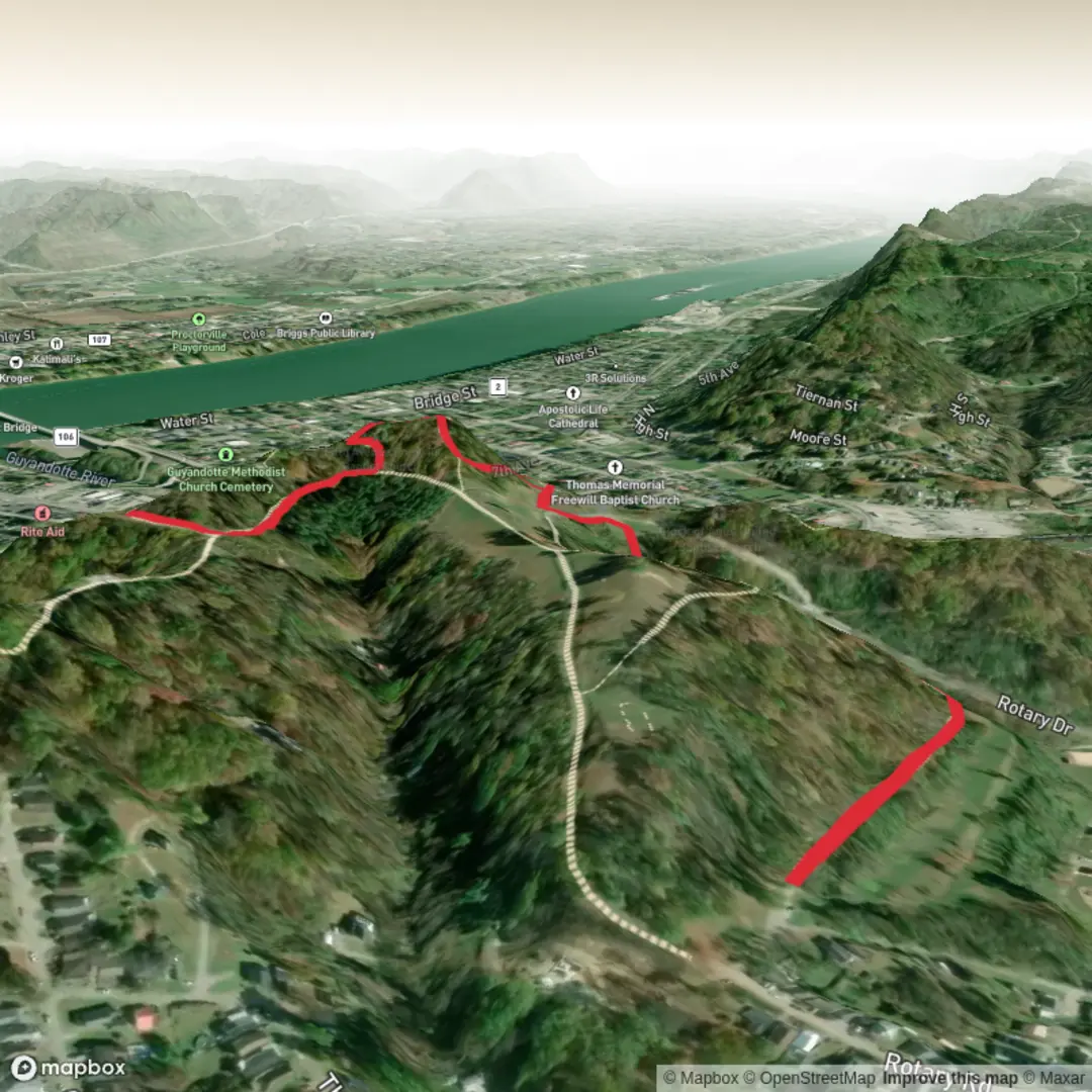
2.8 km
~37 min
33 m
Loop
“A gentle Rotary Park loop—paved or packed gravel—where ponds, playfields, and birdsong invite easy wandering.”
A short, mostly level loop-style walk of about 3 km (1.9 mi) with ~0 m / ~0 ft of climbing, this is the kind of outing that works well for families, casual walkers, and anyone looking for an easy leg-stretcher with park scenery and frequent “turn back anytime” options. Expect paved paths and/or well-packed gravel, gentle curves, and plenty of nearby access points—more of a park ramble than a backcountry trail.
Before I can convert the start location to the nearest known address or landmark, I need the missing “Hike head” details (it currently just says “near”). If you paste the latitude/longitude (or a map screenshot), I’ll translate it into the closest street address or notable landmark and tailor the directions precisely.
Getting to the start (car + public transport)
Because “Rotary Park Trail” exists in multiple towns (Rotary clubs sponsor parks all over), the exact directions depend on which Rotary Park you mean. Once you share the location, I’ll give turn-by-turn guidance, but here’s what to plan for:
- By car: Rotary parks typically have a main parking lot near a playground, sports fields, a pavilion, or a community center. Arrive earlier on weekends if the park hosts youth sports—parking can fill quickly even when the trail itself feels quiet.
- By public transport: Many Rotary parks are reachable via local bus routes that stop along the nearest arterial road. Plan for a short walk (often 0.2–1.0 km / 0.1–0.6 mi) from the closest stop to the trail access point. Once you tell me the town/city (or coordinates), I’ll identify the most practical stop and walking approach.
What the walk is like underfoot
With minimal elevation change, the main “effort” comes from pace rather than climbing. Typical surfaces you may encounter: - Paved multi-use path: smooth, stroller-friendly, and good after rain. - Crusher-fines/gravel park path: still easy, but can feel softer and slightly slower. - Short connectors on grass or dirt: common around picnic areas, field edges, or along creek/pond margins.
Even on an easy route, bring footwear with decent tread—park paths can collect sand, leaf litter, or algae in shaded damp spots, which can be surprisingly slick.
Landmarks and points of interest you’ll likely pass
On a ~3 km (1.9 mi) Rotary-park loop, the “highlights” are usually a sequence of small park features rather than one big destination. Depending on the specific park, expect some combination of:
- Playgrounds and picnic shelters: good regroup points; also where you’ll find restrooms (if the park has them).
- Sports fields/courts: baseball diamonds, soccer fields, tennis/pickleball courts—these can create busy crossings where the path skirts the sidelines.
- Water feature (common but not guaranteed): a pond, small lake, or creek with benches and a short scenic stretch. If there’s water, it’s often the best wildlife-viewing section.
- Interpretive signs or memorials: Rotary parks sometimes include community plaques, donor bricks, or small memorial gardens.
If you share the exact location, I can call out the most significant features in the correct order with approximate distances (e.g., “pond at ~0.8 km / 0.5 mi”).
Nature and wildlife to watch for
Rotary parks tend to protect pockets of everyday local habitat—valuable because it’s accessible. What you might see depends on region, but common sightings in North American park corridors include:
- Birdlife: songbirds in shrubs and trees; near water you may see ducks, geese, herons, or swallows. Early morning is usually best for activity.
- Small mammals: squirrels, rabbits, chipmunks; occasionally deer in quieter edges.
- Wetland/pond life (if present): turtles basking on logs, frogs calling in warmer months, dragonflies along the shoreline.
Wildlife etiquette that matters even on easy park trails: give animals space, keep food secured (especially around waterfowl), and stay on the main path to avoid trampling shoreline vegetation.
Things to look out for (easy trail, real-world hazards)
Even with no meaningful elevation gain, a few practical issues come up often:
- Shared-use traffic: cyclists, runners, kids on scooters, and dog walkers. Expect faster users to pass—hold a predictable line and listen for bells/voices.
- Road or parking-lot crossings: some Rotary parks have paths that cross internal park roads. Treat these as the highest-risk points of the walk.
- Seasonal mud/ice: shaded sections can hold mud after rain or ice in winter even when the rest is dry.
- Bugs near water: mosquitoes and gnats can be intense at dusk/dawn in warm months—pack repellent if you’re sensitive.
Navigation and planning with HiiKER
This is usually straightforward to follow, but parks can have multiple spurs and connectors. Use HiiKER to: - confirm whether you’re doing a full loop or an out-and-back variation, - spot shortcuts back to the trailhead if weather changes, - identify nearby trail junctions so you don’t accidentally extend the walk beyond ~3 km (1.9 mi).
Historical significance (what’s typically relevant for Rotary parks)
The “Rotary” name generally reflects community service and civic improvement—many Rotary clubs fund or help maintain parks, playgrounds, and accessible paths. The deeper

Comments and Reviews
User comments, reviews and discussions about the Rotary Park Trail, West Virginia.
average rating out of 5
0 rating(s)