Download
3D Flyover
Add to list
More
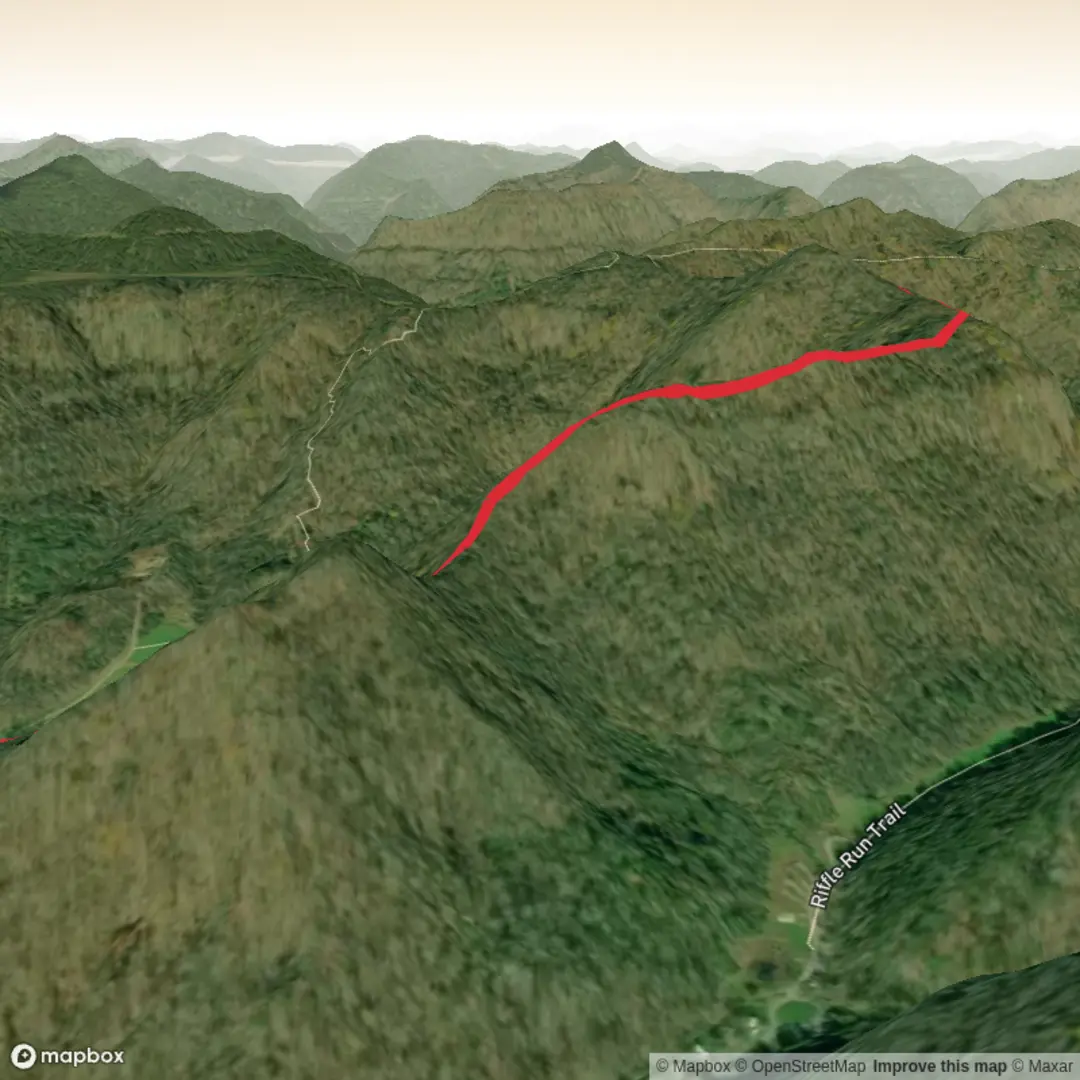
3.7 km
~57 min
135 m
Out and Back
“A gentle riverside wander to a backcountry camp nook, where changing footing keeps you mindful.”
A compact, varied out-and-back that climbs gently (about 4 km / 2.5 mi total with roughly 100 m / 330 ft of gain) to reach a small backcountry access point used for camping and river-side exploring. Expect a mix of easy walking and a few short, more attentive sections where footing and water conditions can change the character of the hike.
Getting to the trailhead (car + public transport)
I don’t yet have the trailhead coordinates or a clear “near ___” location (your “Hike head: near” line is blank), so I can’t convert the start point to the nearest known address/landmark or give accurate transit directions.
If you share either: - a latitude/longitude for the start (or a HiiKER link), or - the nearest town/park/road name,
…I’ll pin it to the closest recognizable address/landmark and give specific “drive to here, park here” guidance plus the best public-transport approach.
For planning right now (generic but useful): - By car: look for a signed trail access/parking pullout near a river corridor; arrive early if it’s a popular camping access. Bring a small trash bag—these access points often have limited bins. - By public transport: most trailheads like this are reachable by bus only to the nearest town; from there it’s typically a rideshare/taxi or a longer road-walk. Once you provide the location, I’ll map the most realistic option.
What the hike feels like underfoot
With only ~100 m / 330 ft of climbing over ~4 km / 2.5 mi, the grade is generally moderate and steady rather than steep. The “Medium” rating usually comes from surface conditions more than elevation: expect some combination of: - Narrow tread in places (singletrack through brush) - Rooty or rocky patches near the riverbank or on small rises - Short muddy stretches after rain or snowmelt - Brief side-slope sections where the trail tilts toward the water
Plan on hiking shoes with decent tread; after wet weather, waterproof footwear or quick-drying trail runners can make the difference between comfortable and miserable.
Route breakdown with distances (approx.)
Because I don’t have the exact mapped line, treat these as planning-grade estimates that match a typical 4 km access trail:
- 0.0–1.0 km (0.0–0.6 mi): The trail usually starts as a clear access path—often wider, sometimes old roadbed—warming you up with a gentle rise. You’ll likely gain 20–30 m (65–100 ft) here. Watch for early junctions or spur paths leading to informal river viewpoints; confirm direction with HiiKER so you don’t drift onto a user-made track.
- 1.0–2.0 km (0.6–1.2 mi): The tread commonly narrows and becomes more “trail-like.” This is where you may encounter the most variable footing: roots, embedded stones, and occasional soft ground. Expect another 40–50 m (130–165 ft) of gain spread out in small steps rather than one big climb.
- 2.0 km to turnaround (about 2.0 km / 1.2 mi one-way): The final approach to a camp access area often flattens near water or a bench above it. You may see established clearings, fire-ring remnants (sometimes illegal depending on local rules), and braided footpaths. Stay on the most durable surfaces to reduce erosion and vegetation damage.
Return the same way, and remember: the “easy” bits on the way in can feel slick on the way out if you’ve had rain, frost, or afternoon shade.
Landmarks, nature, and what to look for
Even short access trails can be surprisingly rich in detail. Typical highlights along a route like this include:
- River/creek corridor features: gravel bars, cutbanks, and small side channels. These are dynamic landscapes—expect the trail edge to shift seasonally.
- Riparian vegetation: willows, alders, cottonwoods (region-dependent), and dense understory that can brush your legs. Long pants help if the corridor is overgrown.
- Birdlife: songbirds in the shrubs; raptors may cruise the corridor on thermals. Early morning is usually best for sightings.
- Mammal sign: tracks in soft mud/sand, scat on the trail, and browse lines on young saplings. In many North American river corridors, deer are common; in some regions you may also see beaver activity (gnawed trunks, small dams) or otter sign near calmer water.
Wildlife and safety considerations
Without the exact state/region I can’t tailor species lists precisely, but for a medium-difficulty river-access hike, plan for:
- Biting insects: mosquitoes and black flies can be intense near water in warm months. Bring repellent and consider a head net if you’re sensitive.
- Ticks: common in brushy edges and tall grass. Use permethrin-treated clothing (or equivalent), do a full tick check after.
- Bears/coyotes/other large mammals (region-dependent): make noise in low-visibility brush, keep food secured, and give wildlife space. If camping is involved, follow local food-storage rules.
- Snakes: sunning on warm trail edges or rocks. Step onto logs/rocks rather than over them when visibility is limited.
Water, weather, and seasonal timing
- Water: Even if the route parallels water, treat it as non-potable. Bring a

Comments and Reviews
User comments, reviews and discussions about the Riffle Run Camp Access Trail, West Virginia.
average rating out of 5
0 rating(s)