Download
3D Flyover
Add to list
More
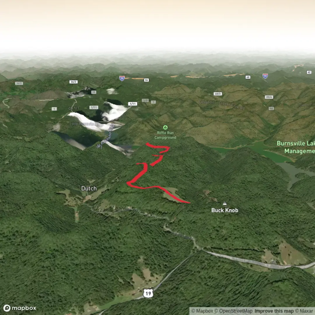
9.0 km
~2 hrs 14 min
267 m
Out and Back
“A riverside ramble with leafy climbs, historic pauses, and steady effort—especially after rain.”
A medium, roughly 9 km (5.6 mi) walk with about 300 m (985 ft) of climbing usually means you’ll get a steady mix of easy riverside or campground-grade track plus a few sustained rises that make you work—especially if the surface is damp or leaf-littered. Plan for 2.5–4 hours depending on stops, footing, and how much time you spend around the river and historic features.
Before I can tailor this to the correct “Bulltown Campground” (there are multiple places with that name) and convert any coordinates to the nearest real-world landmark/address, I need one missing piece from your hike details:
- Where is the trailhead (“Hike head: near …”)—town/state/country, or a lat/long?
- Also, if you know it: loop or out-and-back? (your “Hike type” field is blank)
Once you share that, I’ll: - give turn-by-turn expectations with approx. distance + elevation in km/mi and m/ft - describe landmarks, habitat, and likely wildlife for that specific region - include hazards to watch for (water levels, ticks, snakes, trail junction confusion, etc.) - add historical context relevant to the exact area - explain how to get to the start by car and public transport - reference navigation using HiiKER only
If you paste a HiiKER link, a park/trailhead name, or coordinates, that’s perfect.

Comments and Reviews
User comments, reviews and discussions about the Bulltown Campground Walk, West Virginia.
average rating out of 5
0 rating(s)