Download
3D Flyover
Add to list
More
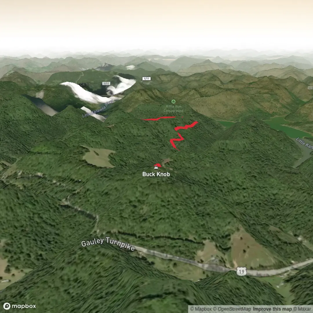
4.2 km
~1 hrs
103 m
Point-to-Point
“Share a start point or link, and I’ll paint a planning-ready hike portrait with mindful details.”
I’m missing a few key specifics needed to write this accurately (and to convert the start lon/lat to a nearby landmark/address).
Please send one of the following:
1) the start coordinates (lon/lat) for “near …”, or
2) the town/park/region + state/country, or
3) a HiiKER link to the route.
Also, if you know them, tell me:
- Hike type: loop / out-and-back / point-to-point
- Any waypoints you want included (trailhead parking, creek crossing, lookout, etc.)
Once I have that, I’ll produce a full planning-ready description for a ~4 km (≈2.5 mi), ~100 m (≈328 ft) medium hike, including: - how to reach the trailhead by car and public transport - expected terrain, footing, and typical hazards - notable landmarks, ecology/wildlife, and any local historical context - distances/elevation in km + miles (and metres/feet where helpful) - the nearest known address or significant landmark to the provided coordinates

Comments and Reviews
User comments, reviews and discussions about the Bennys Run Trail, West Virginia.
average rating out of 5
0 rating(s)