Download
3D Flyover
Add to list
More
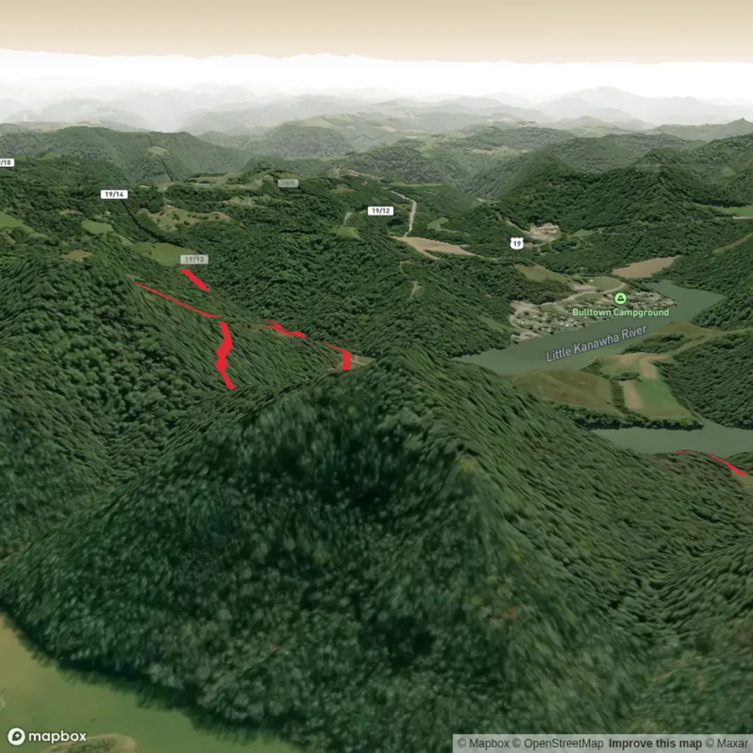
7.2 km
~1 hrs 41 min
150 m
Loop
“A colourful Baker Trail teaser awaits—share the trailhead details so I can paint it accurately.”
I’m missing a few key pieces needed to write this accurately (and to convert the start point to a nearby address/landmark).
Send either: 1) the start coordinates (lat, lon) for the trailhead (or a HiiKER link), or 2) the nearest town/park/road name where “near …” was meant to be.
Also tell me (quick bullets are fine): - Country + state/province (there are multiple “Baker Trail” routes worldwide) - Hike type: loop, out-and-back, or point-to-point - If you have them: end coordinates (if point-to-point) and any waypoints/POIs you want included
Once I have that, I’ll produce a full planning-ready description for a ~7 km / 4.3 mi hike with ~200 m / 656 ft gain, including access by car/public transport, landmarks, terrain, hazards, wildlife, and local history—using HiiKER for navigation references.

Comments and Reviews
User comments, reviews and discussions about the Baker Trail, West Virginia.
average rating out of 5
0 rating(s)