Download
3D Flyover
Add to list
More
5.0 km
~1 hrs 21 min
219 m
Loop
“The Uplands and Summit Loop offers a scenic 5 km hike with diverse landscapes and historical insights.”
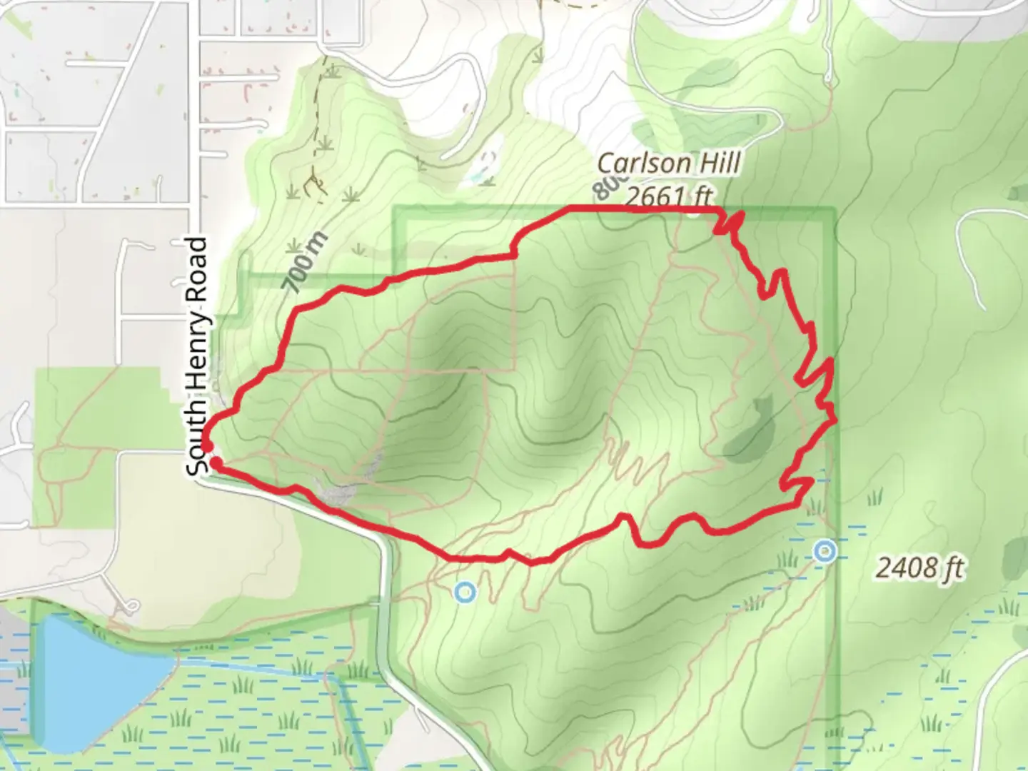
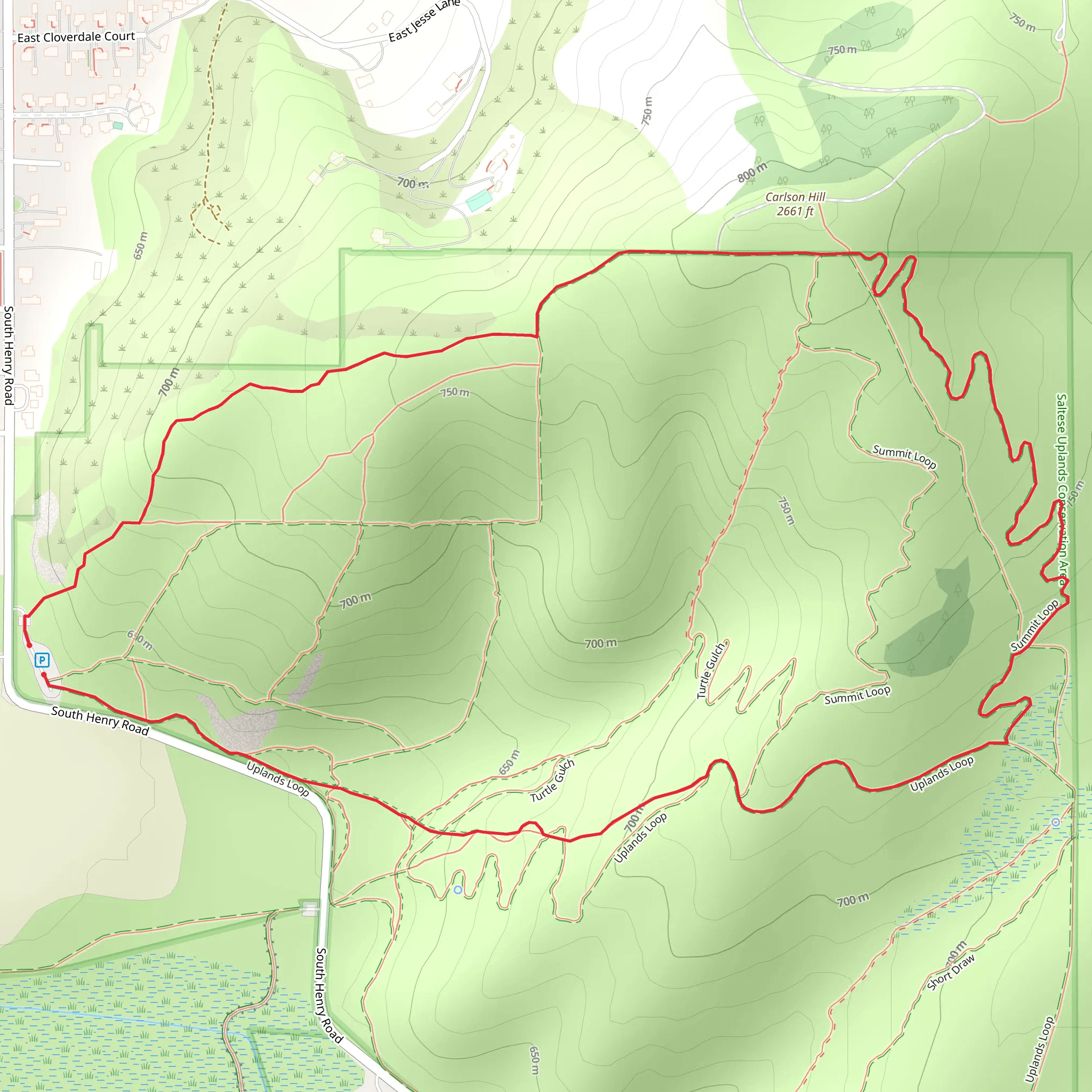
Starting near Spokane County, Washington, the Uplands and Summit Loop is a 5 km (approximately 3.1 miles) loop trail with an elevation gain of around 200 meters (656 feet). This trail is rated as medium difficulty, making it suitable for moderately experienced hikers.
Getting There
To reach the trailhead, you can drive or use public transportation. If driving, head towards the nearest known landmark, the Spokane County Conservation Futures property. Parking is available at the trailhead. For those using public transport, take the Spokane Transit Authority (STA) bus to the nearest stop at High Drive and 29th Avenue, then walk approximately 1.5 km (0.9 miles) to the trailhead.
Trail Overview
The trail begins with a gentle ascent through a mixed forest of ponderosa pine and Douglas fir. Early on, you'll encounter a fork; take the left path to start the loop in a counterclockwise direction. This initial section is relatively easy, with a gradual elevation gain of about 50 meters (164 feet) over the first kilometer (0.6 miles).
Key Landmarks and Nature
As you continue, the trail opens up to a series of meadows. These meadows are particularly beautiful in spring and early summer when wildflowers such as lupine and balsamroot are in full bloom. Keep an eye out for deer and various bird species, including red-tailed hawks and woodpeckers.
Midpoint and Summit
Around the 2.5 km (1.5 miles) mark, you'll reach the midpoint of the loop and the start of the more challenging ascent to the summit. The next kilometer (0.6 miles) involves a steeper climb, gaining approximately 100 meters (328 feet) in elevation. The trail here is rocky and may require careful footing, especially after rain.
Historical Significance
The summit area offers panoramic views of the Spokane Valley and the distant Selkirk Mountains. Historically, this region was inhabited by the Spokane Tribe, who used the high vantage points for both strategic and ceremonial purposes. Interpretive signs along the trail provide more information about the tribe's history and their connection to the land.
Descent and Return
After enjoying the summit, the trail descends gradually over the next 1.5 km (0.9 miles). This section is less strenuous but still requires attention due to loose gravel. The descent takes you through a denser forest area, where you might spot smaller wildlife like squirrels and chipmunks.
Navigation and Safety
For navigation, it's recommended to use the HiiKER app, which provides detailed maps and real-time GPS tracking. The trail is well-marked, but having a reliable navigation tool can be invaluable, especially in low-visibility conditions.
Final Stretch
The final kilometer (0.6 miles) of the loop is relatively flat and takes you back through the initial meadows before returning to the trailhead. This section is a good opportunity to cool down and reflect on the hike.
Tips for Hikers
- Wear sturdy hiking boots with good traction.
- Bring plenty of water, especially in the warmer months.
- Check the weather forecast before heading out, as conditions can change rapidly.
- Be aware of local wildlife and practice Leave No Trace principles to preserve the natural beauty of the area.
This trail offers a rewarding mix of natural beauty, moderate physical challenge, and historical significance, making it a must-visit for hikers in the Spokane County area.
What to expect?
Activity types
Comments and Reviews
User comments, reviews and discussions about the Uplands and Summit Loop, Washington.
4.47
average rating out of 5
15 rating(s)
