Download
Preview
Add to list
More
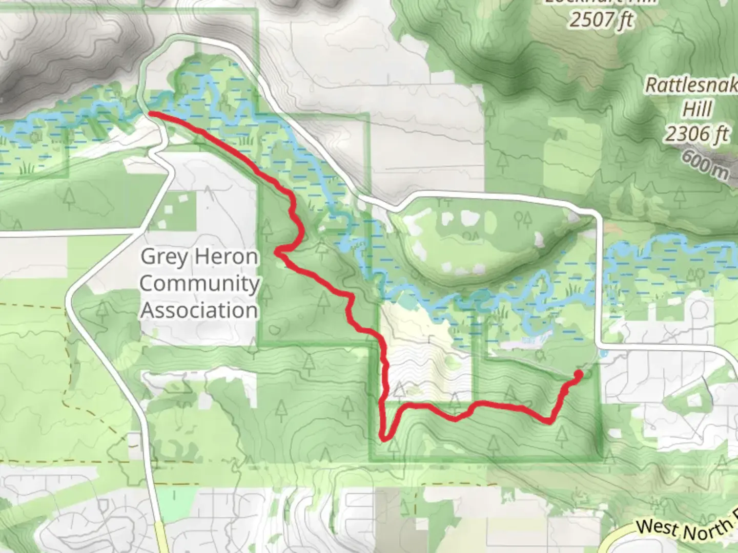
10.9 km
~2 hrs 56 min
453 m
Out and Back
“This 11 km trail near Spokane offers a moderate challenge with scenic views and rich historical insights.”
Starting near Spokane County, Washington, this 11 km (approximately 6.8 miles) out-and-back trail offers a moderate challenge with an elevation gain of around 400 meters (about 1,312 feet). The trailhead is conveniently located near the bustling city of Spokane, making it accessible for both locals and visitors.
Getting There
To reach the trailhead, you can drive or use public transportation. If you're driving, head towards the nearest known landmark, Riverside State Park, which is a short distance from the trailhead. Ample parking is available at the park. For those using public transport, Spokane Transit Authority (STA) buses can get you close to the park, from where you can either walk or take a short taxi ride to the trailhead.
Trail Overview
The trail begins with a gentle ascent through a dense forest of pine and fir trees, providing ample shade and a serene atmosphere. As you progress, the trail becomes steeper, offering a good workout for your legs. The first significant landmark you'll encounter is a small, picturesque creek about 2 km (1.2 miles) in, which is a great spot for a quick rest and some photos.
Flora and Fauna
Keep an eye out for the diverse wildlife that inhabits this area. Deer are commonly seen grazing near the trail, and if you're lucky, you might spot a fox or even a black bear from a safe distance. Birdwatchers will enjoy the variety of species, including woodpeckers, hawks, and the occasional eagle soaring overhead.
Mid-Trail Highlights
Around the 5 km (3.1 miles) mark, you'll reach a scenic overlook that offers breathtaking views of the Spokane River and the surrounding valley. This is a perfect spot to take a break, enjoy a snack, and soak in the natural beauty. The elevation gain to this point is about 200 meters (656 feet), making it a rewarding halfway point.
Historical Significance
The region around Spokane County has a rich history, with roots tracing back to the Native American tribes who originally inhabited the area. The Spokane Tribe, in particular, has a deep connection to the land, and you may come across informational plaques along the trail that provide insights into their history and culture.
Final Stretch
The final stretch of the trail involves a more gradual ascent, leading you through a series of switchbacks. The terrain here can be rocky, so make sure to watch your step. As you approach the turnaround point, you'll be rewarded with another stunning viewpoint, offering panoramic vistas of the surrounding landscape.
Navigation and Safety
For navigation, it's highly recommended to use the HiiKER app, which provides detailed maps and real-time updates. The trail is well-marked, but having a reliable navigation tool can enhance your hiking experience and ensure you stay on track.
Return Journey
The return journey follows the same path, allowing you to revisit the beautiful spots you encountered on the way up. The descent is easier on the legs, giving you a chance to enjoy the scenery at a more relaxed pace.
This trail offers a perfect blend of physical challenge, natural beauty, and historical significance, making it a must-visit for any hiking enthusiast in the Spokane area.

What to expect?
Activity types
Comments and Reviews
User comments, reviews and discussions about the Trail 503, Washington.
4.58
average rating out of 5
12 rating(s)