Download
3D Flyover
Add to list
More
47.1 km
~2 days
1818 m
Multi-Day
“Trek the vivid Loowit Trail, a testament to nature's resilience and power around Mount St. Helens.”
The Loowit Trail encircles the base of Mount St. Helens, an active stratovolcano located in Skamania County, Washington. This challenging loop spans approximately 47 kilometers (29 miles) and navigates an elevation gain of around 1800 meters (5900 feet), offering a strenuous trek through a landscape shaped by volcanic activity.
Accessing the Trailhead
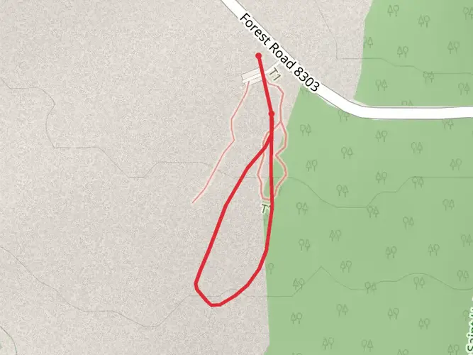
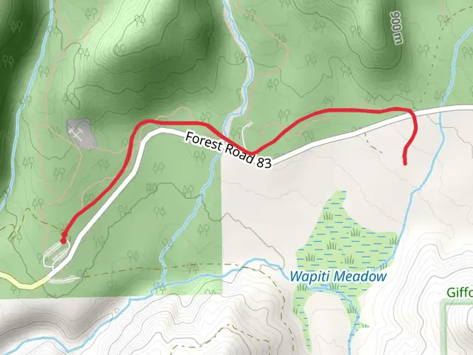
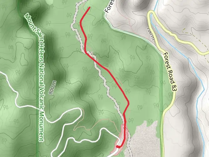
To reach the trailhead, hikers can drive to the Climbers Bivouac, which is the primary starting point for the Loowit Trail. The Climbers Bivouac is accessible via Forest Road 830, off State Route 503 near Cougar, Washington. For those relying on public transportation, options are limited, and it's generally recommended to arrange a private shuttle or taxi from the nearest towns.
Navigating the Trail
Hikers should prepare for a variety of terrain, including lava fields, pumice plains, and forested areas recovering from the 1980 eruption. The trail is marked by wooden posts, but due to the nature of the landscape, these can be difficult to spot. It's advisable to use a navigation tool like HiiKER to stay on track.
Significant Landmarks and Natural Features
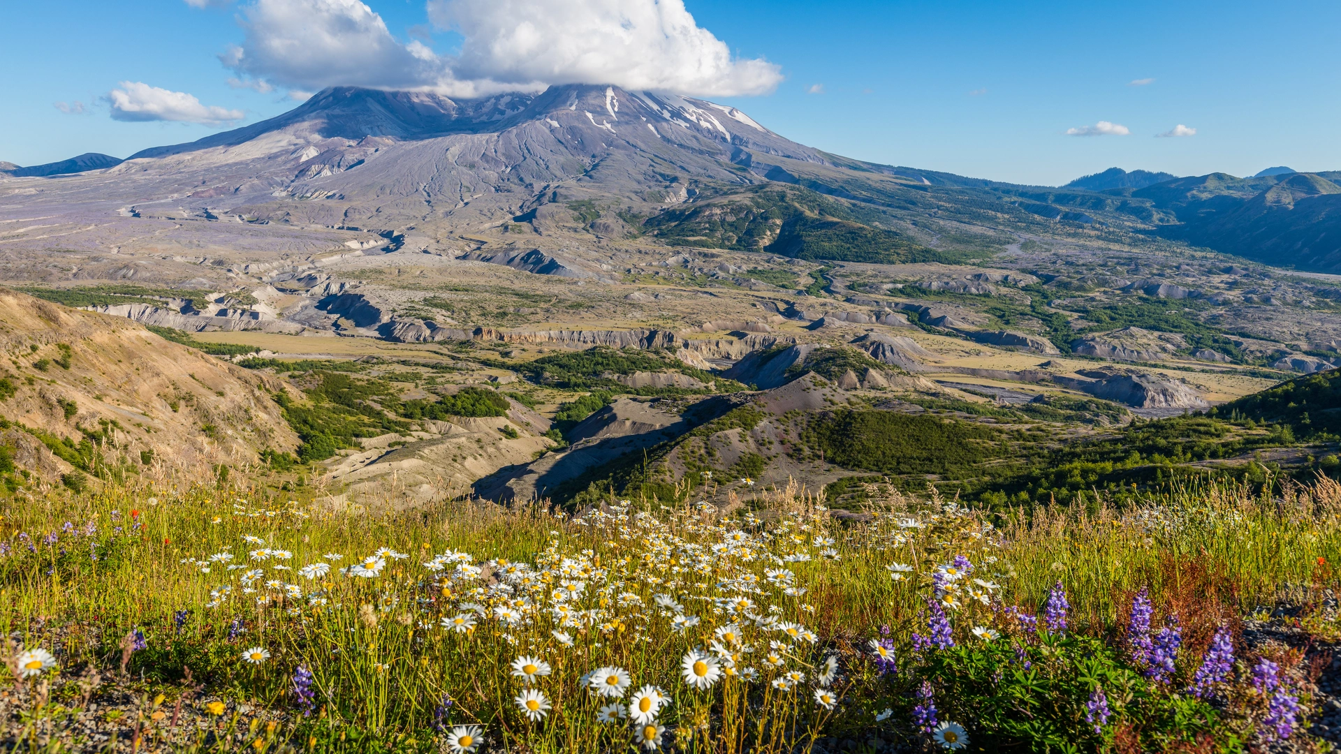
The Loowit Trail offers a close-up view of the Mount St. Helens crater, the pumice plain, and the blast zone created by the 1980 eruption. Hikers will encounter the Loowit Falls, where water cascades over remnants of the volcano's past. The trail also passes by Windy Pass, which offers panoramic views of the surrounding area and is a testament to the power of nature's elements.
Wildlife and Vegetation
The region is home to a recovering ecosystem, with vegetation gradually returning to the once-devastated landscape. Hikers may spot elk, mountain goats, and a variety of bird species. It's important to respect the wildlife and maintain a safe distance.
Historical Significance
Mount St. Helens is known for its catastrophic eruption on May 18, 1980, which dramatically reshaped the landscape and had significant ecological and economic impacts. The Loowit Trail traverses this historical landscape, allowing hikers to witness the ongoing natural recovery.
Preparation and Safety
Given the trail's difficulty, hikers should be in good physical condition and have experience with backcountry navigation. Weather conditions can change rapidly, and snow can linger on parts of the trail well into the summer months. It's crucial to carry sufficient water, as sources along the trail are scarce and can be contaminated by volcanic sediment.
Permits and Regulations
A permit is required to hike the Loowit Trail, and there are specific regulations in place to protect the area's delicate environment. Hikers should check with the Gifford Pinchot National Forest for the latest information on permits and trail conditions before setting out.
By preparing adequately and respecting the trail's challenges and regulations, hikers can embark on a memorable journey around one of the Pacific Northwest's most iconic peaks.

What to expect?
Activity types
Frequently asked questions
How long is the Loowit Trail loop around Mount St. Helens?
The Loowit Trail is about 47.07 kilometers, or roughly 29.2 miles, as a full loop around Mount St. Helens. It also packs in about 1,818 meters of elevation gain, so even though the mileage is moderate for a backpacking loop, the effort level is high and the route is considered extra difficult.
How many days does it take to hike the Loowit Trail?
Most hikers split the Loowit Trail into 2 to 3 days because the loop is about 47 kilometers with around 1,818 meters of climbing. Strong trail runners and very fit hikers sometimes do it in a single long day, but the rough volcanic terrain, repeated gully crossings, and limited water make it a serious undertaking.
Where do you start the Loowit Trail and where can you park for the Loowit Trail?
A common starting point for the Loowit Trail is Climbers Bivouac on the south side of Mount St. Helens, reached by Forest Road 830 off State Route 503 near Cougar. The Forest Service lists parking fees or a valid recreation pass at access points including Climbers Bivouac, Ape Canyon, and Windy Ridge, and it advises against overnight parking at June Lake because space is limited.
Do you need a permit to hike the Loowit Trail?
No backcountry permit is required just to hike the Loowit Trail itself. However, some trailheads used to access the loop require a parking fee or recreation pass, and a separate climbing permit is required only for travel above 4,800 feet on Mount St. Helens, which is a different rule from staying on the Loowit loop.
Is the Loowit Trail difficult and what makes the Loowit Trail so hard?
The Loowit Trail is widely regarded as a very strenuous loop because it combines about 47 kilometers of travel with roughly 1,818 meters of ascent on unstable volcanic ground. The route crosses pumice fields, lava-shaped terrain, and steep gullies, and some stream crossings must be forded, so it is best suited to experienced hikers and backpackers.
Are there water sources on the Loowit Trail?
Water can be a real challenge on the Loowit Trail. Forest Service and local monument guidance both note that some sections have scarce water, especially later in the season, and hikers should expect long dry stretches between reliable flows, particularly on the north and east sides of the mountain.
Are dogs allowed on the Loowit Trail?
Dog access around Mount St. Helens is restricted in parts of the monument, and pet rules can vary by zone and current management orders. Because the Loowit Trail circles sensitive volcanic terrain and passes through areas with special protections, dog access should be confirmed with current monument or Forest Service rules before planning a trip rather than assumed.
Comments and Reviews
User comments, reviews and discussions about the Loowit Trail, Washington.
4.2
average rating out of 5
5 rating(s)