Download
3D Flyover
Add to list
More
3.7 km
~1 hrs 10 min
257 m
Loop
“The Bitterroot Loop Trail offers a scenic, moderately challenging 4 km hike with rich flora, fauna, and history.”
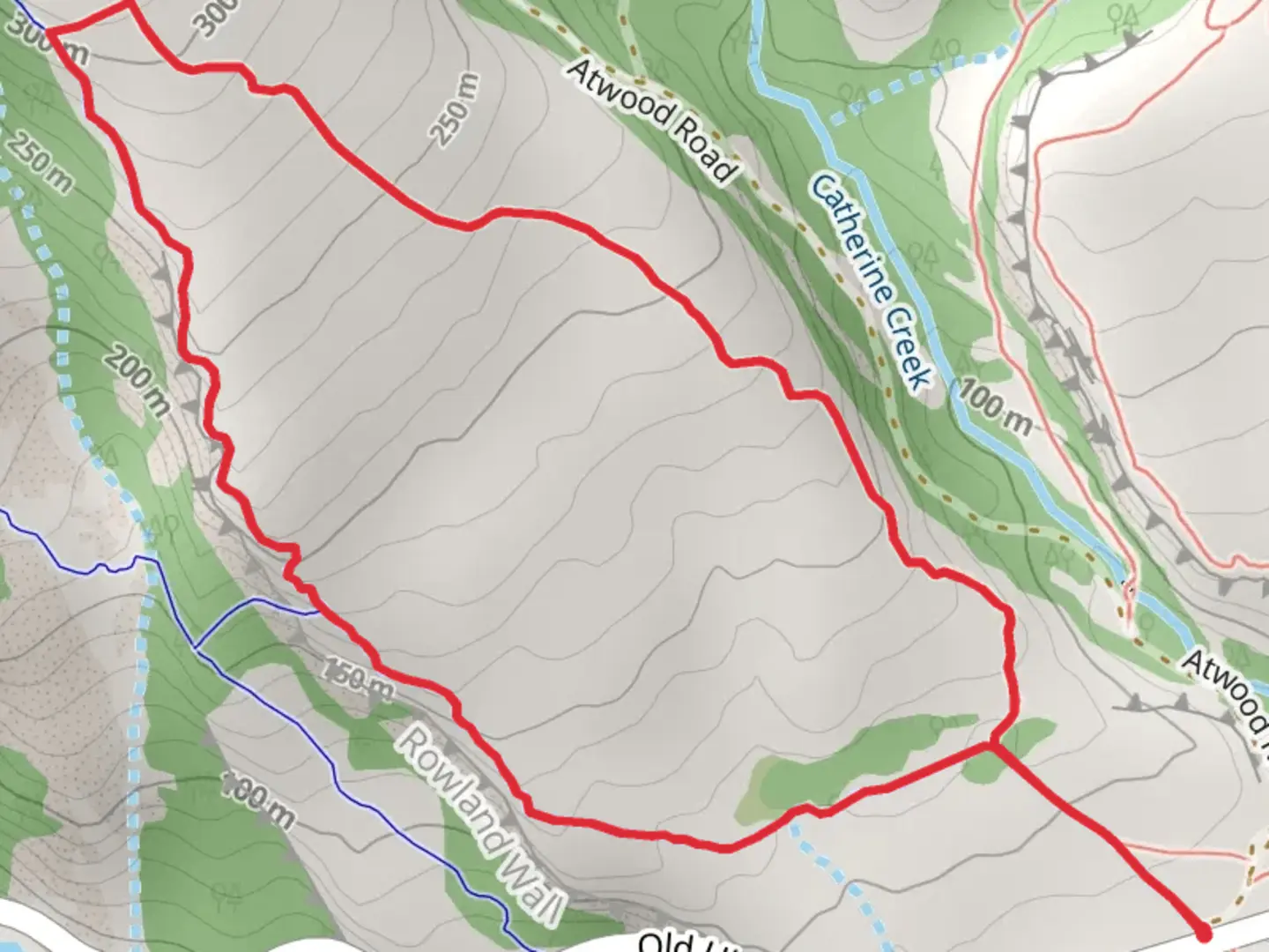
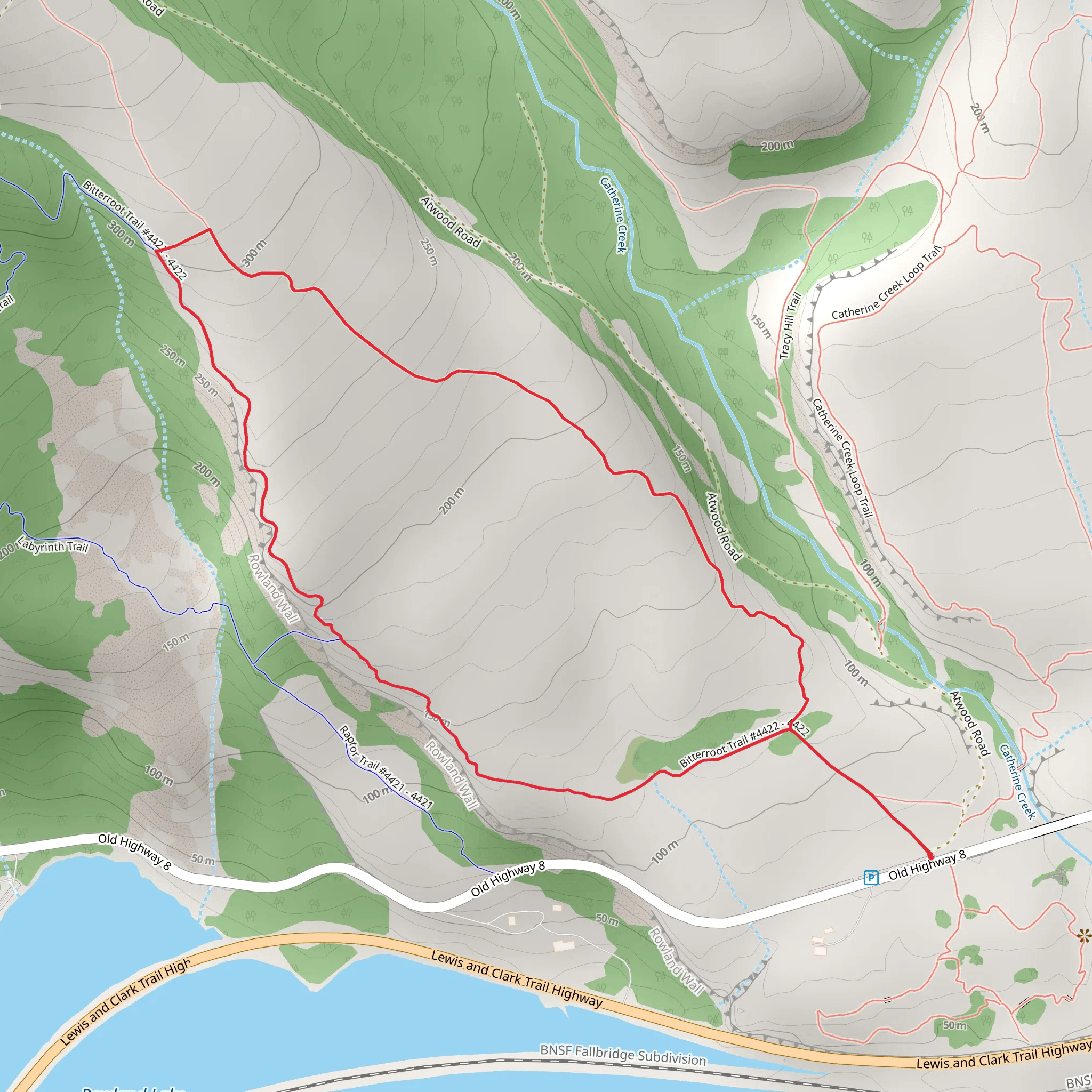
Starting your adventure near Klickitat County, Washington, the Bitterroot Loop Trail offers a delightful 4 km (approximately 2.5 miles) journey with an elevation gain of around 200 meters (656 feet). This loop trail is rated as medium difficulty, making it suitable for moderately experienced hikers.
Getting There
To reach the trailhead, you can drive or use public transport. If you're driving, head towards the nearest significant landmark, which is the town of Goldendale, WA. From Goldendale, it's a short drive to the trailhead. For those using public transport, you can take a bus to Goldendale and then arrange for a local taxi or rideshare service to drop you off at the trailhead.
Trail Navigation
For navigation, it's highly recommended to use the HiiKER app, which provides detailed maps and real-time updates. This will ensure you stay on track and can easily find your way back to the starting point.
Trail Highlights
As you embark on the Bitterroot Loop Trail, you'll be greeted by a diverse landscape that includes dense forests, open meadows, and rocky outcrops. The trail meanders through a variety of ecosystems, offering a rich tapestry of flora and fauna.
Flora and Fauna
Keep an eye out for the namesake Bitterroot flower, which blooms in vibrant pinks and purples during the spring and early summer months. The trail is also home to a variety of wildlife, including deer, foxes, and numerous bird species. Birdwatchers will particularly enjoy spotting hawks and eagles soaring above.
Significant Landmarks
About 1 km (0.6 miles) into the hike, you'll come across a scenic overlook that provides stunning views of the Klickitat River Valley. This is a great spot to take a break and soak in the natural beauty. Continuing on, at around the 2 km (1.2 miles) mark, you'll encounter an old, abandoned cabin. This cabin dates back to the early 1900s and serves as a fascinating historical landmark, offering a glimpse into the region's past.
Historical Significance
The area around the Bitterroot Loop Trail has a rich history. It was originally inhabited by the Klickitat tribe, who used the land for hunting and gathering. In the late 19th and early 20th centuries, the region saw an influx of settlers who established small homesteads and farms. The abandoned cabin you’ll see along the trail is a remnant of this era, providing a tangible connection to the past.
Trail Conditions and Safety
The trail is well-maintained but can be rocky and uneven in sections, so sturdy hiking boots are recommended. There are a few steep inclines, particularly as you approach the 3 km (1.8 miles) mark, where the elevation gain is most noticeable. Always carry enough water, as there are no reliable water sources along the trail.
Final Stretch
As you complete the loop, the trail descends gently back towards the trailhead, offering a relaxing end to your hike. The final kilometer (0.6 miles) is relatively flat, making it a pleasant cool-down stretch.
By preparing adequately and using reliable navigation tools like HiiKER, you can fully enjoy the natural beauty and historical richness of the Bitterroot Loop Trail.
What to expect?
Activity types
Comments and Reviews
User comments, reviews and discussions about the Bitterroot Loop Trail, Washington.
4.67
average rating out of 5
9 rating(s)
