Download
3D Flyover
Add to list
More
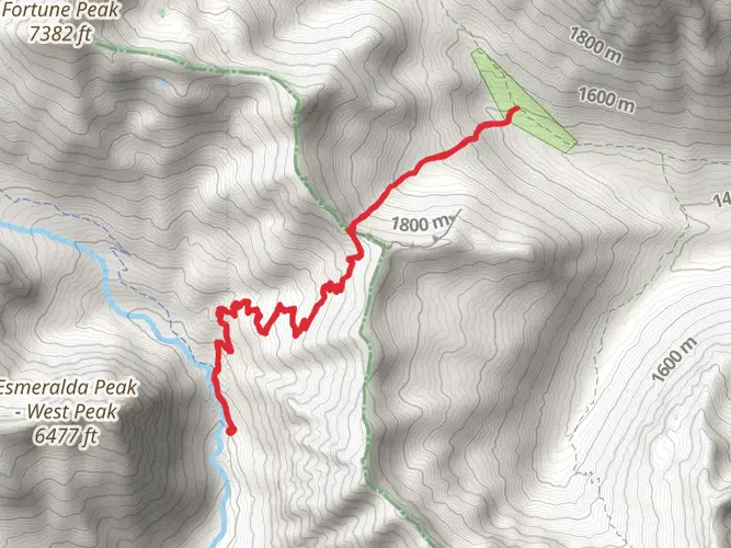
9.1 km
~3 hrs 6 min
776 m
Loop
“Embark on the Iron Peak Trail for a mesmerizing hike through wildflower meadows to historic mining remnants atop the Cascades.”
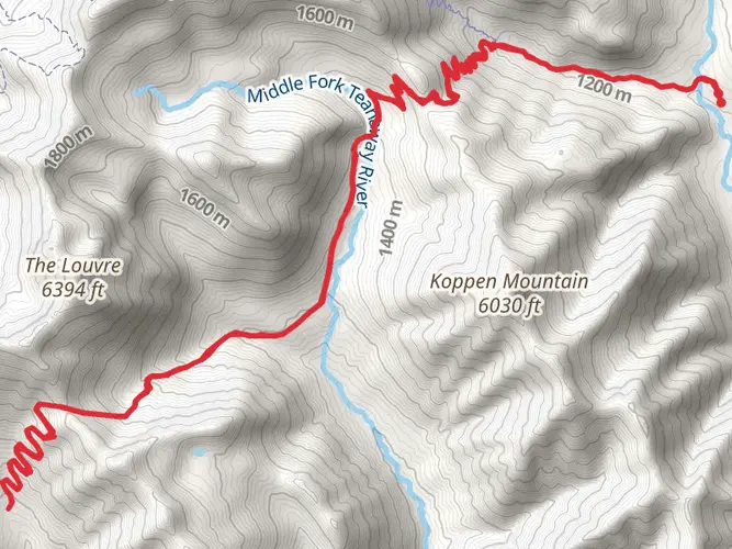
The Iron Peak Trail, nestled in the heart of Kittitas County, Washington, offers a moderately challenging hike that spans approximately 9 kilometers (about 5.6 miles) with an elevation gain of roughly 700 meters (about 2300 feet). This loop trail is renowned for its stunning panoramic views and vibrant wildflower displays during the peak season.
Getting to the Trailhead To reach the trailhead, hikers can drive to the end of North Fork Teanaway Road, which is the nearest known landmark to the starting point. For those relying on public transportation, options are limited, and it's advisable to check the latest schedules and routes for any services heading towards the Teanaway area. Once at the trailhead, ample parking is available for those who choose to drive.
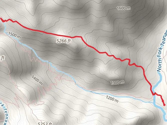
The Hike Itself As you embark on the Iron Peak Trail, the initial stretch will take you through a dense forest canopy, providing a gentle start as the path gradually ascends. The trail is well-marked, but carrying a navigation tool like HiiKER is recommended to track your progress and ensure you stay on the correct path.
After about 2 kilometers (1.2 miles), the forest opens up to reveal expansive meadows dotted with wildflowers, particularly in late spring and early summer. The vibrant colors and variety of flora are a highlight for many hikers, with species such as lupine, Indian paintbrush, and aster painting the landscape.
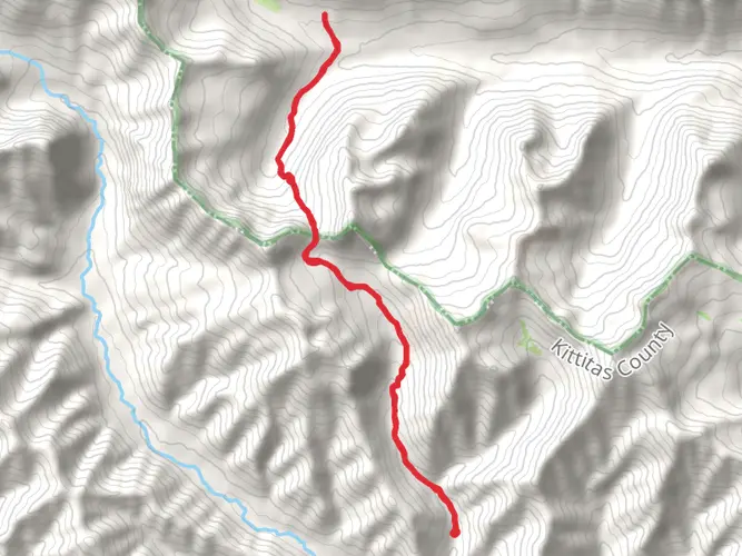
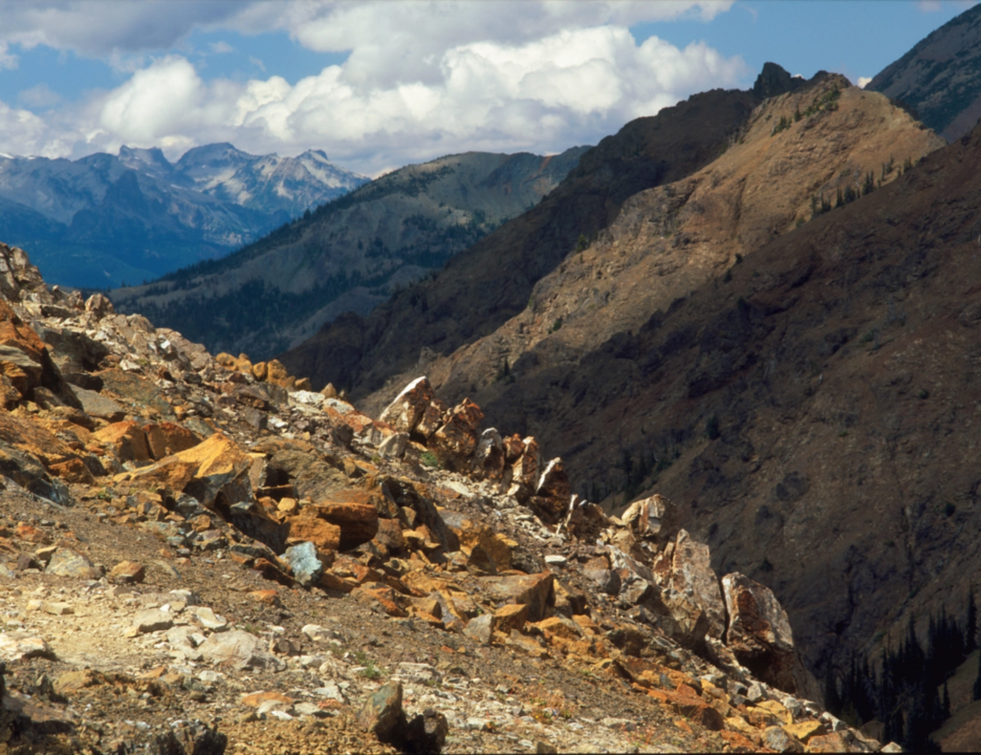
Historical Significance and Landmarks As you continue to climb, the trail offers glimpses into the region's geological and mining history. Iron Peak itself is named for the iron deposits found in the area, which were once the focus of mining activities. While the mines are no longer operational, their historical significance adds an intriguing layer to the hike.
Reaching the higher elevations, around the 5-kilometer (3.1-mile) mark, the trail becomes rockier, and the incline increases. Here, you'll encounter the remnants of the old mining operations, including scattered equipment and mine shafts. Exercise caution when exploring these areas, as they can be unstable and potentially hazardous.
Wildlife and Safety The Iron Peak Trail is also home to a variety of wildlife. It's not uncommon to spot marmots, pikas, and even the occasional mountain goat among the rocky outcrops. Birdwatchers may be rewarded with sightings of raptors soaring above. Always keep a safe distance from wildlife and be aware of your surroundings to avoid unexpected encounters with animals such as bears or cougars.
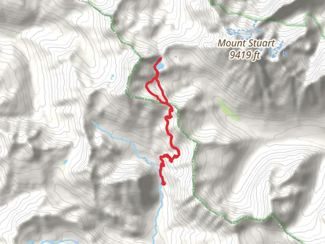
Navigating the Summit and Descent The final push to the summit of Iron Peak is the most strenuous part of the hike, with steep switchbacks leading to the top. Once at the summit, approximately 7 kilometers (4.3 miles) from the start, you'll be treated to breathtaking 360-degree views of the surrounding Cascades, including Mount Stuart and the Enchantments.
The descent follows the same path back down, allowing for a different perspective on the stunning scenery you encountered on the way up. The loop aspect of the trail is a gentle grade that circles back to the trailhead, completing your journey through this remarkable landscape.
Preparation and Planning Before setting out, ensure you have adequate water, as there are no reliable water sources along the trail. The weather can change rapidly in the mountains, so pack layers and be prepared for varying conditions. Lastly, always leave no trace of your visit to help preserve the natural beauty of the Iron Peak Trail for future hikers.

What to expect?
Activity types
Comments and Reviews
User comments, reviews and discussions about the Iron Peak Trail, Washington.
4.67
average rating out of 5
3 rating(s)