Download
3D Flyover
Add to list
More
11.2 km
~3 hrs 20 min
660 m
Loop
“Discover lush forests, historical landmarks, and stunning vistas on the Squak Mountain West and Central Peak Loop.”
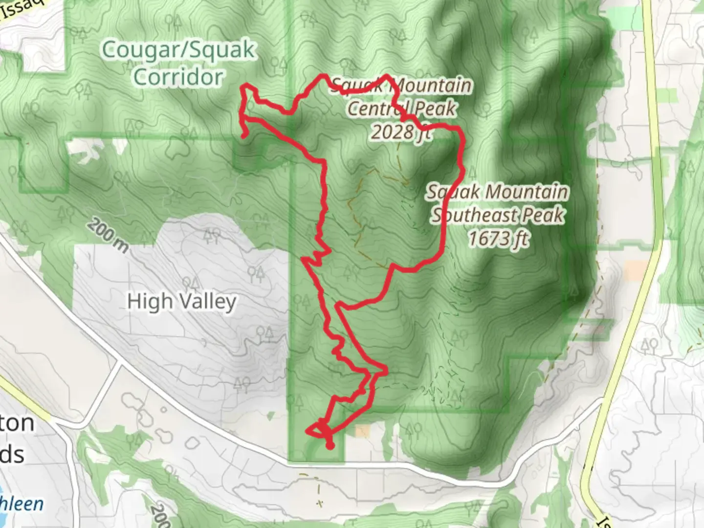
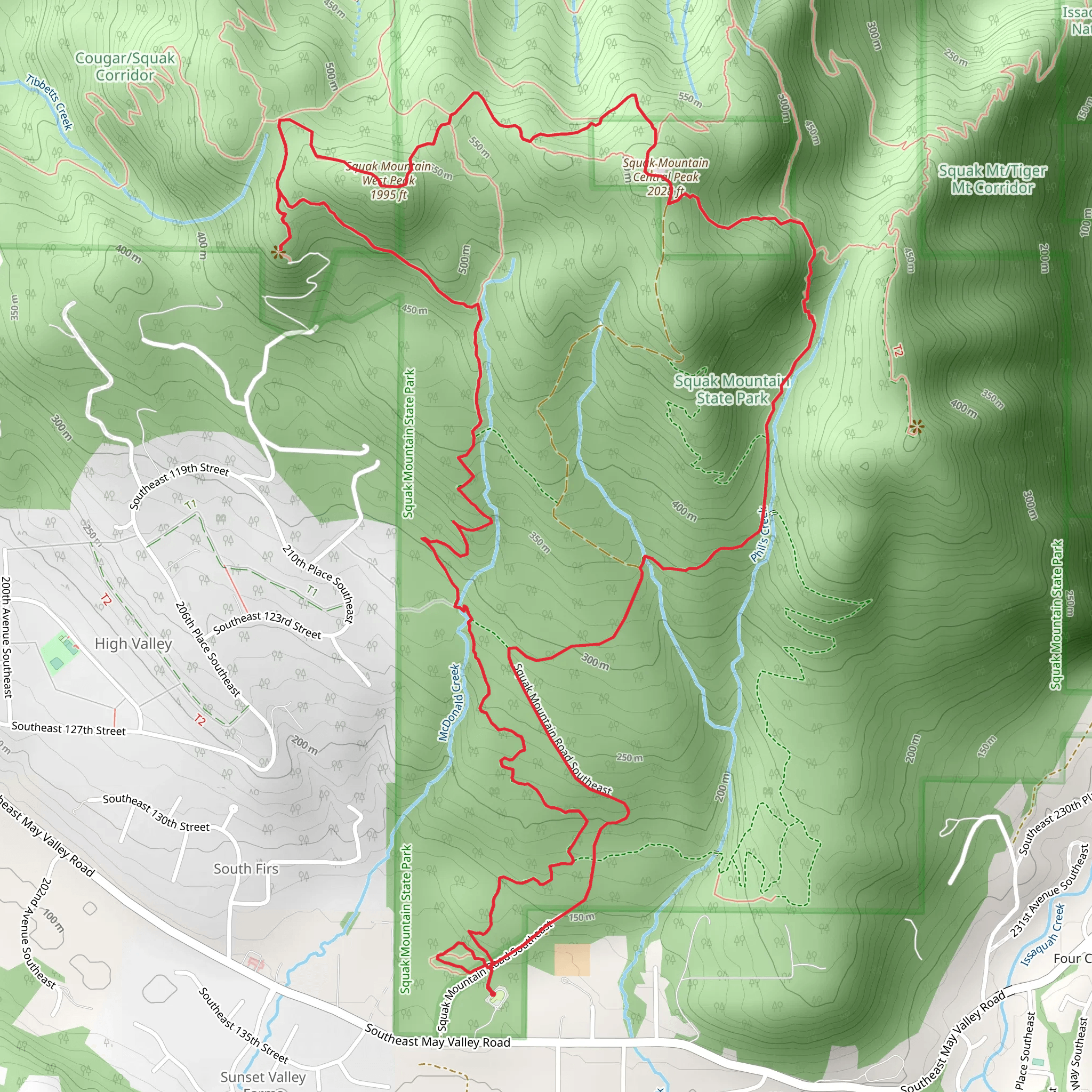
Starting your adventure near King County, Washington, the Squak Mountain West and Central Peak via May Valley Loop offers a rewarding 11 km (approximately 6.8 miles) journey with an elevation gain of around 600 meters (about 1,970 feet). This loop trail is rated as medium difficulty, making it suitable for moderately experienced hikers.
Getting There
To reach the trailhead, you can drive or use public transportation. If driving, head towards the Squak Mountain State Park Natural Area. The nearest significant landmark is the Squak Mountain State Park parking lot, located off May Valley Road. For those using public transport, King County Metro Transit offers bus services that can get you relatively close to the trailhead, but you may need to arrange for a taxi or rideshare for the final leg of the journey.
Trail Overview
The trail begins with a gentle ascent through lush, dense forest. Early on, you’ll encounter a variety of native flora, including sword ferns, salal, and towering Douglas firs. The first 2 km (1.2 miles) of the trail are relatively easy, with a gradual elevation gain of about 100 meters (328 feet).
Significant Landmarks and Points of Interest
As you continue, you’ll reach the first significant landmark, the Bullitt Fireplace, around the 3 km (1.9 miles) mark. This historical site is the remnants of the Bullitt family’s summer cabin, offering a glimpse into the area’s past. Take a moment to rest and enjoy the surroundings before continuing your ascent.
Wildlife and Nature
The trail is home to a variety of wildlife. Keep an eye out for black-tailed deer, red foxes, and a plethora of bird species, including woodpeckers and owls. The forest canopy provides a habitat for many small mammals and insects, making it a vibrant ecosystem.
Reaching the Peaks
Around the 5 km (3.1 miles) mark, you’ll reach the junction that leads to the West Peak. This section is steeper, with an elevation gain of about 200 meters (656 feet) over the next 1.5 km (0.9 miles). The West Peak offers panoramic views of the surrounding valleys and, on clear days, you can see the Seattle skyline in the distance.
From the West Peak, the trail continues towards the Central Peak. This segment is less steep but still challenging, with an additional elevation gain of approximately 150 meters (492 feet) over 1 km (0.6 miles). The Central Peak is the highest point on the trail, providing stunning vistas and a great spot for a well-deserved break.
Descending Back
The descent begins after the Central Peak, looping back towards the trailhead. This section is easier on the knees but still requires careful footing, especially in wet conditions. The final 3 km (1.9 miles) of the trail are a gentle downhill, allowing you to enjoy the serene forest and perhaps spot some more wildlife.
Navigation
For navigation, it’s highly recommended to use HiiKER, which provides detailed maps and real-time GPS tracking to ensure you stay on the right path. The trail is well-marked, but having a reliable navigation tool can enhance your hiking experience and provide peace of mind.
Final Stretch
As you approach the end of the loop, you’ll pass through a series of switchbacks that lead you back to the trailhead. This final stretch is a great opportunity to reflect on the diverse landscapes and historical sites you’ve encountered along the way.
This trail offers a perfect blend of natural beauty, moderate challenge, and historical intrigue, making it a must-visit for hikers in the King County area.
What to expect?
Activity types
Comments and Reviews
User comments, reviews and discussions about the Squak Mountain West and Central Peak via May Valley Loop, Washington.
4.38
average rating out of 5
13 rating(s)
