Download
3D Flyover
Add to list
More
22.4 km
~6 hrs 42 min
1339 m
Out and Back
“The Alpine Baldy Trail is a challenging, scenic hike with rich history and stunning panoramic views.”
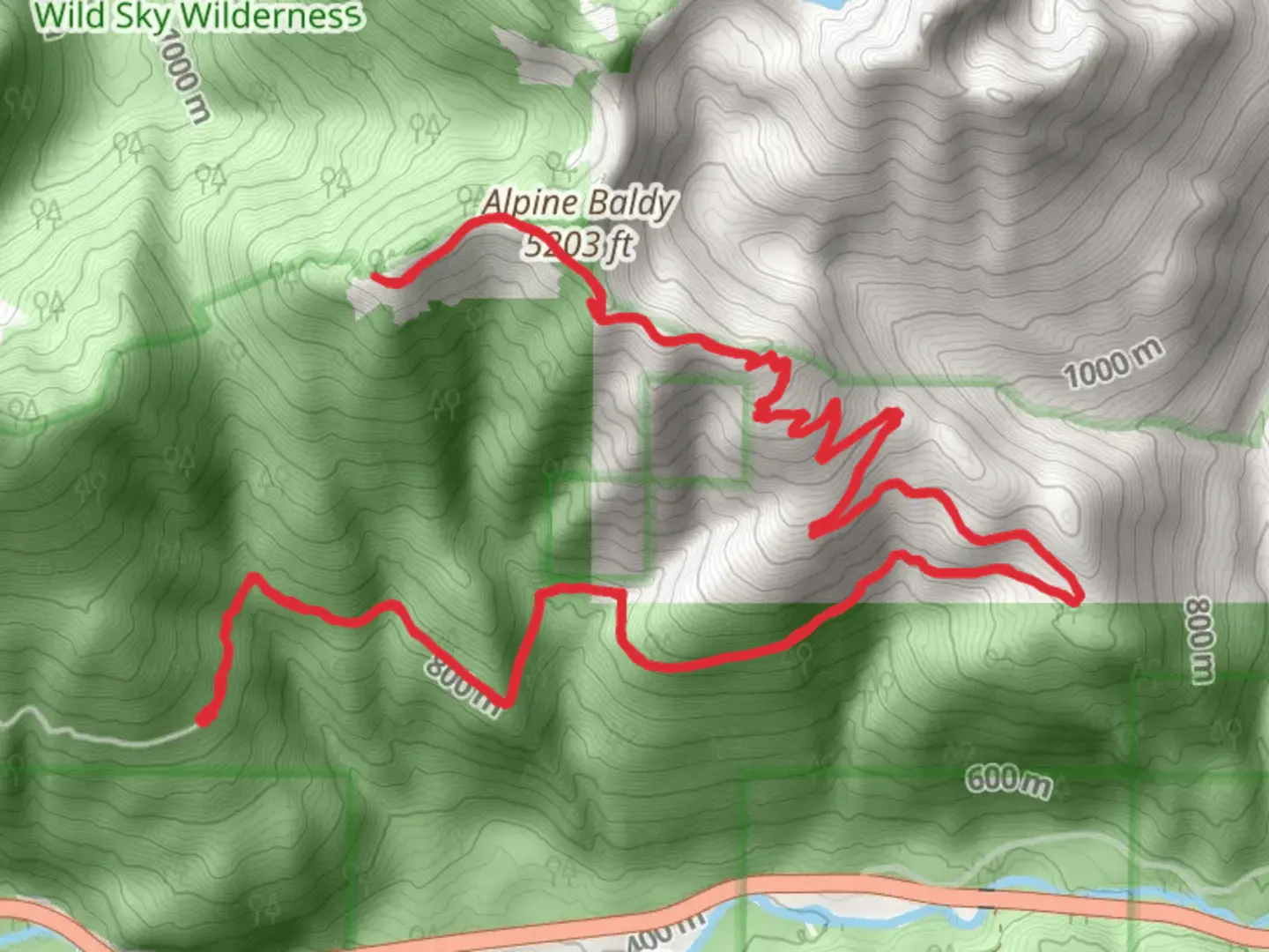
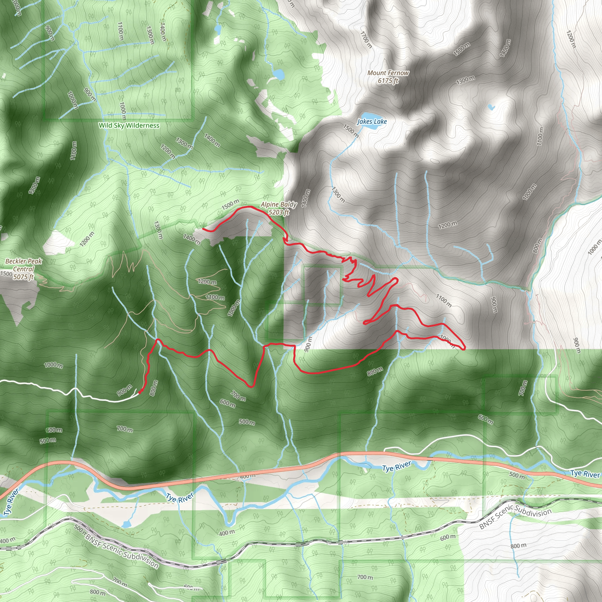
Starting near King County, Washington, the Alpine Baldy Trail is an invigorating out-and-back hike that spans approximately 22 kilometers (13.7 miles) with an elevation gain of around 1300 meters (4265 feet). This trail is rated as medium difficulty, making it suitable for moderately experienced hikers looking for a rewarding challenge.
Getting There
To reach the trailhead, you can drive or use public transportation. If driving, head towards the nearest known address, which is the North Bend Park & Ride, located at 331 W North Bend Way, North Bend, WA 98045. From there, it's a short drive to the trailhead. For those using public transport, take a bus to the North Bend Park & Ride and then arrange for a taxi or rideshare to the trailhead.
Trail Overview
The trail begins with a gentle ascent through lush, dense forests typical of the Pacific Northwest. Early on, you'll encounter a variety of native flora, including Douglas firs, western hemlocks, and sword ferns. The first 3 kilometers (1.9 miles) are relatively easy, with a gradual elevation gain of about 200 meters (656 feet).
Mid-Trail Highlights
As you progress, the trail becomes steeper and more challenging. Around the 5-kilometer (3.1-mile) mark, you'll reach a series of switchbacks that offer stunning views of the surrounding valleys and peaks. This section is particularly beautiful in the spring and early summer when wildflowers such as lupines and Indian paintbrushes are in full bloom.
Wildlife and Nature
Keep an eye out for local wildlife, including black-tailed deer, marmots, and various bird species like the Steller's jay and the northern flicker. It's also not uncommon to spot signs of black bears, so be sure to carry bear spray and know how to use it.
Historical Significance
The region has a rich history, with roots tracing back to the indigenous Coast Salish peoples who originally inhabited the area. The trail itself was used by early settlers and loggers in the late 19th and early 20th centuries. Remnants of old logging equipment and cabins can still be found along the trail, adding a historical dimension to your hike.
Reaching Alpine Baldy
The final push to Alpine Baldy is the most strenuous, with a steep ascent over the last 2 kilometers (1.2 miles) gaining approximately 400 meters (1312 feet) in elevation. The effort is well worth it, as the summit offers panoramic views of the Cascade Range, including Mount Rainier and Mount Baker on clear days.
Navigation and Safety
Given the trail's complexity, it's advisable to use a reliable navigation tool like HiiKER to keep track of your progress and ensure you stay on the correct path. The trail can be muddy and slippery, especially after rain, so sturdy hiking boots with good traction are essential. Always check the weather forecast before heading out and be prepared for sudden changes in conditions.
Return Journey
The descent follows the same path back to the trailhead, offering a chance to revisit the scenic spots and perhaps notice details you missed on the way up. Make sure to pace yourself and take breaks as needed, especially on the steeper sections.
This trail offers a blend of natural beauty, wildlife, and historical intrigue, making it a memorable adventure for those willing to take on its challenges.
What to expect?
Activity types
Comments and Reviews
User comments, reviews and discussions about the Alpine Baldy Trail, Washington.
4.33
average rating out of 5
6 rating(s)
