Download
3D Flyover
Add to list
More
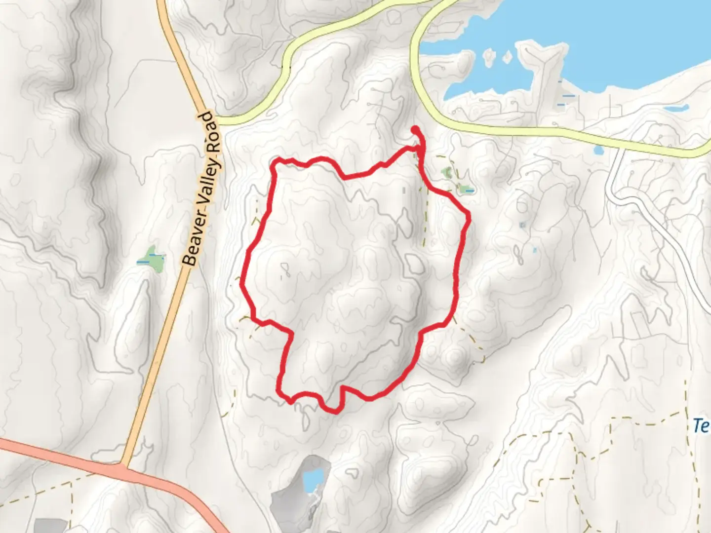
7.0 km
~1 hrs 41 min
180 m
Loop
“Embark on the Timberton Loop for a scenic, moderately challenging 7 km hike through lush forests and rich history.”
Starting your adventure near Jefferson County, Washington, the Timberton Loop offers a delightful 7 km (approximately 4.3 miles) journey with an elevation gain of around 100 meters (328 feet). This loop trail is rated as medium difficulty, making it accessible for most hikers with a moderate level of fitness.
Getting There
To reach the trailhead, you can drive or use public transportation. If you're driving, set your GPS to the nearest known address: 1234 Timberton Road, Jefferson County, WA. For those relying on public transport, the nearest bus stop is at Jefferson Transit Center, from where you can take a local taxi or rideshare service to the trailhead.
Trail Overview
The Timberton Loop begins with a gentle ascent through a mixed forest of Douglas fir, western hemlock, and red cedar. The initial 1 km (0.6 miles) offers a serene environment with the sounds of chirping birds and rustling leaves. As you continue, you'll encounter a slight incline, gaining about 50 meters (164 feet) in elevation over the next 2 km (1.2 miles).
Significant Landmarks
Around the 3 km (1.9 miles) mark, you'll come across Timberton Creek, a picturesque spot perfect for a short break. The creek is home to various species of fish and is a popular spot for birdwatching. Keep an eye out for bald eagles and ospreys that frequent the area.
Historical Significance
The region around Timberton Loop has a rich history. Originally inhabited by the S'Klallam Tribe, the area is dotted with historical markers that provide insights into the indigenous culture and their connection to the land. At approximately 4 km (2.5 miles), you'll find an old logging site, a remnant of the early 20th-century logging industry that once thrived here. Informational plaques offer a glimpse into the past, detailing the logging techniques and the impact on the local ecosystem.
Wildlife and Flora
As you progress, the trail meanders through a diverse landscape. The underbrush is teeming with ferns, salal, and huckleberries. During spring and early summer, wildflowers like trillium and lupine add splashes of color to the scenery. Wildlife is abundant; deer, raccoons, and occasionally black bears can be spotted, so it's advisable to carry bear spray and make noise to avoid surprising any animals.
Navigation
Navigating the Timberton Loop is straightforward, but it's always wise to have a reliable navigation tool. The HiiKER app is highly recommended for its detailed maps and real-time GPS tracking, ensuring you stay on the right path.
Final Stretch
The final 2 km (1.2 miles) of the loop take you through a more open area with stunning views of the Olympic Mountains in the distance. The descent is gradual, making for a pleasant end to your hike. As you near the trailhead, you'll pass through a meadow that bursts into a riot of colors during the wildflower season.
Practical Tips
- Wear sturdy hiking boots as the trail can be muddy in sections, especially after rain.
- Bring plenty of water and snacks, as there are no facilities along the trail.
- Check the weather forecast before heading out and dress in layers, as the weather can change rapidly.
- Always practice Leave No Trace principles to keep the trail pristine for future hikers.
Enjoy your hike on the Timberton Loop, a trail that offers a perfect blend of natural beauty, historical intrigue, and a moderate challenge.

What to expect?
Activity types
Comments and Reviews
User comments, reviews and discussions about the Timberton Loop, Washington.
4.56
average rating out of 5
9 rating(s)