
Download
3D Flyover
Add to list
More
7.0 km
~1 hrs 41 min
174 m
Loop
“A windswept Rhossili loop blends sweeping bay views, ancient tombs, and wild upland atmosphere.”
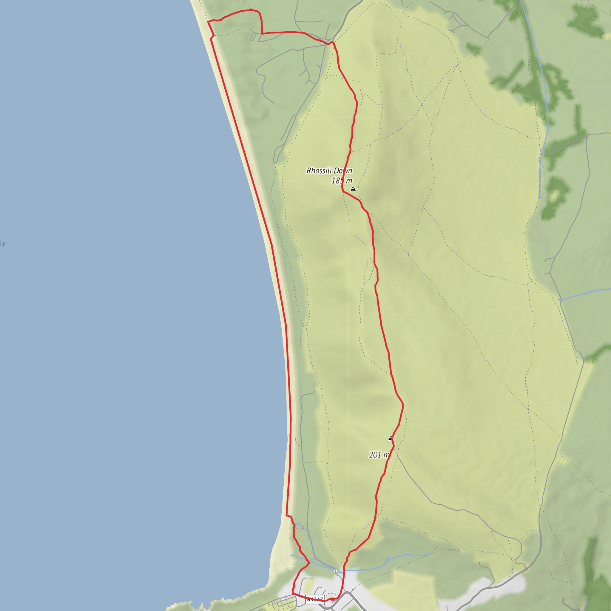
This medium-difficulty loop packs a lot into roughly 7 km / 4.3 miles, with about 200 m / 656 ft of ascent. It starts near the National Trust car park and village facilities at Rhossili, Swansea SA3 1PR, the main access point for Rhossili Bay and Rhossili Down. That is the most practical landmark and nearest known start location for planning purposes. (visitswanseabay.com)
The route typically combines a climb onto Rhossili Down, a visit to the prehistoric remains at Sweyne’s Howes, and a return with wide views over Rhossili Bay, one of the best-known coastal landscapes on the Gower Peninsula. Expect a mix of grassy paths, exposed open hillside, and uneven sections where the ground can become muddy, slick, or rutted after rain. Although the distance is modest, the elevation gain and exposure make it feel more substantial than a simple seaside stroll. (nationaltrust.org.uk)
The opening section usually leaves the village and heads uphill onto the broad back of Rhossili Down. This is where most of the climbing is concentrated, and the ascent is steady enough to raise the heart rate without becoming technical. As height is gained, the views open quickly behind you across the long arc of Rhossili Bay, with Worm’s Head projecting into the sea and, on clear days, far-reaching views across the Bristol Channel and toward West Wales and the North Devon coast. Rhossili Down includes the highest ground on Gower, with the trig point at 193 m / 633 ft above sea level. (nationaltrust.org.uk)
Terrain and what to expect
Underfoot, hikers should be ready for a route that changes character several times. Near the village the paths are usually clearer and more worn, but higher up on the down the trail can feel more open and less defined in places, especially in mist or poor visibility. Wind exposure is a major factor here; even on a mild day in the village, the ridge can feel much cooler. Good footwear is advisable because the grassy slopes can be slippery, and the descent back toward the bay can be hard on knees if the ground is wet. Using HiiKER before setting out is a sensible way to check the route line and elevation profile.
Because this is open coastal upland, there is very little shelter. Low cloud can reduce visibility, and strong winds can make the ridge feel committing. If conditions are poor, allow extra time and take care near steeper edges and any cliffward spurs. The route is not especially long, but it rewards steady pacing rather than rushing.
Landmarks, archaeology and local history
One of the most distinctive features on this loop is Sweyne’s Howes, a pair of Neolithic burial chambers on the eastern side of Rhossili Down. These megalithic structures lie about 100 m / 330 ft apart at roughly 140 m / 459 ft above sea level and are the remains of ancient cairned tombs built from local stone. They are among the clearest reminders that this landscape has been important to people for thousands of years. (archwilio.org.uk)
The wider Rhossili area is rich in archaeology. National Trust information for the site notes a landscape shaped by farming since the Stone Age, with visible traces from the Neolithic, Bronze Age, Iron Age, medieval, and later periods. The old open-field strip system known as The Vile survives near the village and is an especially important medieval landscape feature. (nationaltrust.org.uk)
Higher on the down, hikers may also notice the remains of a Second World War radar station. This was part of the Chain Home Low early-warning network covering the Bristol Channel and was used between 1942 and 1945 to detect low-flying aircraft. Today, the concrete bases and access traces are what remain, adding another historical layer to a route already marked by prehistoric monuments. (rhossilihwb.wales)
Looking down toward the bay, another notable historic feature is the wreck of the Helvetia, a Norwegian sailing ship wrecked in 1887. Its remains can still be seen on Rhossili Bay at low tide. (nationaltrust.org.uk)
Nature and wildlife
This loop is as much about the surrounding landscape as the walking itself. Rhossili Bay stretches for about 3 miles / 4.8 km, backed by cliffs, open downland, and grazing land that helps maintain the character
What to expect?
Surfaces
Sand
Dirt
Unpaved
Asphalt
Unknown
Grass
Gravel
Comments and Reviews
User comments, reviews and discussions about the Rhossili Down, Sweyne's Howes and Rhossili Bay Loop, Wales.
average rating out of 5
0 rating(s)



