
Download
3D Flyover
Add to list
More
10.2 km
~2 hrs 51 min
494 m
Loop
“A breezy climb up Sugar Loaf rewards careful walkers with sweeping valleys, skylarks, and moorland drama.”
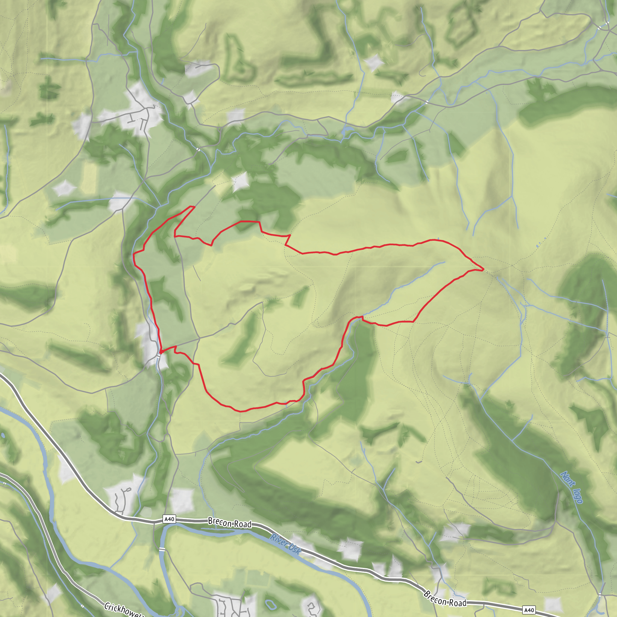
This medium-difficulty loop explores one of the most distinctive peaks above Abergavenny, climbing Mynydd Pen-y-fâl, better known as Sugar Loaf, on a route of about 10 km / 6.2 miles with roughly 500 m / 1,640 ft of ascent. The mountain itself rises to 596 m / 1,955 ft and stands out for its steep-sided, conical profile above the Usk Valley and the market town below. The usual trailhead for the shorter mountain walk is the Sugar Loaf car park on Mynydd Llanwenarth, reached via the lane signed from near Sugar Loaf Vineyards, close to Abergavenny, Monmouthshire. The mapped driving approach passes the vineyard at NP7 7LA before continuing uphill to the main parking area, and the official start is given at grid reference SO 268 167. (beacons-npa.gov.uk)
Although some official waymarked walks from this car park are shorter, this longer loop version typically uses the same access slopes and summit area before extending around the flanks and ridges of Mynydd Llanwenarth. Expect a steady climb from the outset on broad grassy tracks, with the gradient becoming noticeably steeper near the top. The final 500 m / 0.3 miles to the summit is the section that usually demands the most care, as the ground becomes rockier, looser, and more uneven underfoot, especially after rain or in windy conditions. (beacons-npa.gov.uk)
What the route feels like
From the car park, the route generally heads out across open hillside rather than woodland, so the sense of space arrives quickly. Early on, the paths are usually clear and wide, crossing grassy mountain slopes with dry-stone walls and intersecting tracks that can look deceptively similar in mist. As height is gained, the views begin to open over Abergavenny and the Usk Valley, and on a clear day you can expect wide panoramas across South Wales, the central Bannau Brycheiniog peaks, and into south-west England. (beacons-npa.gov.uk)
The summit area is broad rather than needle-sharp, but it still feels exposed. Wind can be strong here even when conditions lower down seem calm, and low cloud can reduce visibility very quickly. If you are planning this as a full 10 km / 6.2 mile loop rather than a direct up-and-down outing, it is worth checking the route carefully in HiiKER before setting off, because the network of paths around the ridges and embankments can make it easy to drift onto a shorter return line. (beacons-npa.gov.uk)
Landmarks, views, and terrain
Sugar Loaf is one of the highest peaks in the heart of the Black Mountains, and its shape makes it a landmark long before you reach it. Despite the volcano-like outline, it is formed from Old Red Sandstone, the same geology that underpins much of the surrounding uplands. The mountain’s three ridges help shape the deeply cut valleys around it, including St Mary’s Vale and the Cibi Valley, which add texture and depth to the views from higher up. (nationaltrust.org.uk)
One of the pleasures of this walk is how quickly the landscape changes character. Lower down, the slopes are pastoral and open, with grazing land and a strong sense of the farming landscape. Higher up, the terrain becomes more upland in feel, with moorland vegetation, rough grass, and more exposed ground. The summit gives especially good sightlines toward the Black Mountains, the Brecon Beacons range, and the patchwork countryside around Abergavenny. (nationaltrust.org.uk)
Nature and wildlife
This is a strong walk for upland wildlife. Skylarks are among the most characteristic birds here, and walkers may also spot swallows, house martins, buzzards, and occasionally red kites overhead. Red grouse are also noted on the moorland. The mountain is registered common land, and grazing livestock are part of the landscape, so expect sheep and potentially other stock on the hill; dogs should be managed carefully, especially near animals and during the spring and early summer restriction period on open access land.
Surfaces
Unknown
Dirt
Unpaved
Gravel
Asphalt
Comments and Reviews
User comments, reviews and discussions about the Sugar Loaf and Mynydd Pen-y-fal Loop, Wales.
average rating out of 5
0 rating(s)


