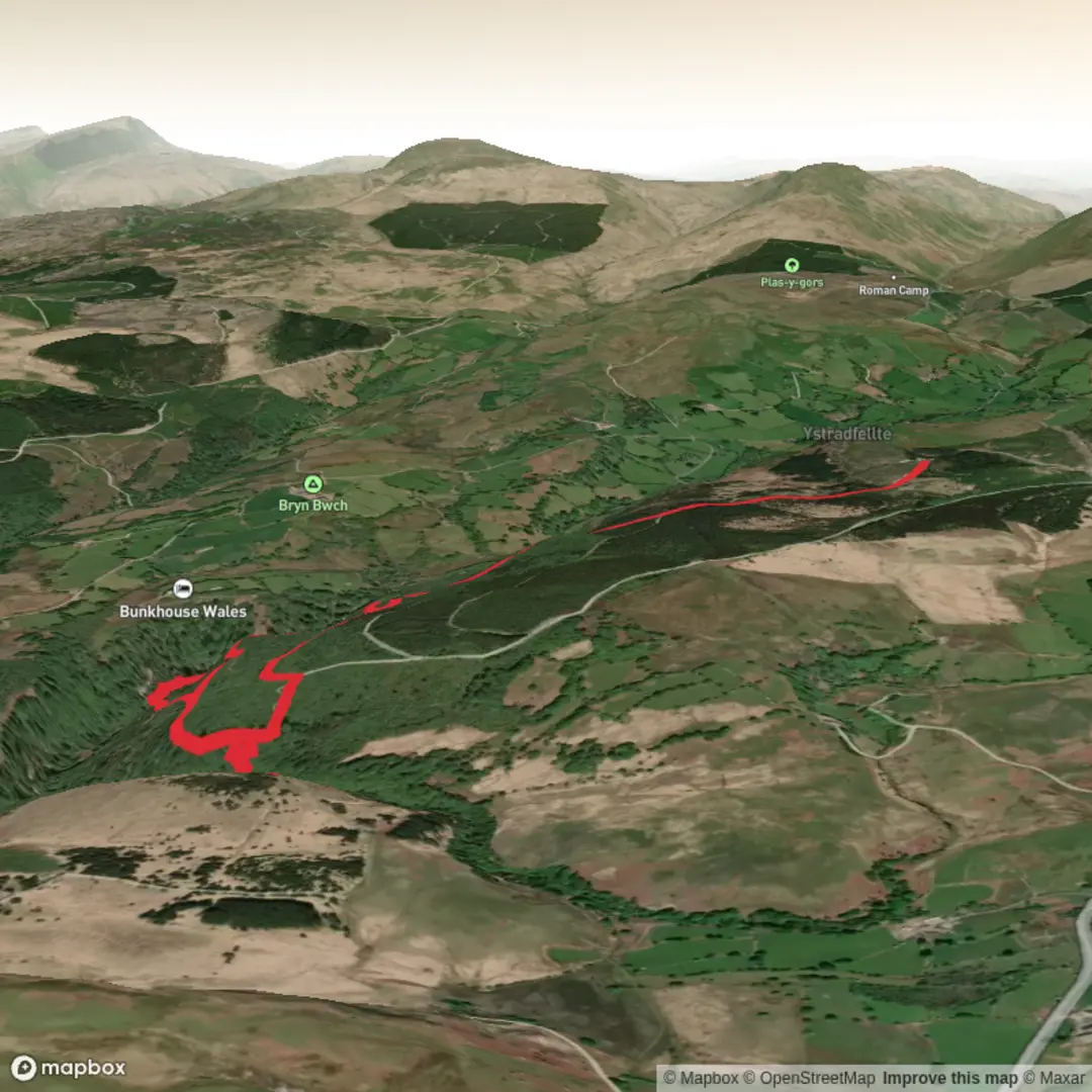
Sgŵd Clun-Gwyn, Sgŵd Isaf Clun-Gwyn, Sgŵd-y-Pannwr and Sgŵd-yr-Eira on the River Mellte
Download
3D Flyover
Add to list
More
9.4 km
~2 hrs 25 min
327 m
Loop
“A lush, echoing gorge walk linking famous waterfalls, cave country, and slippery woodland drama.”
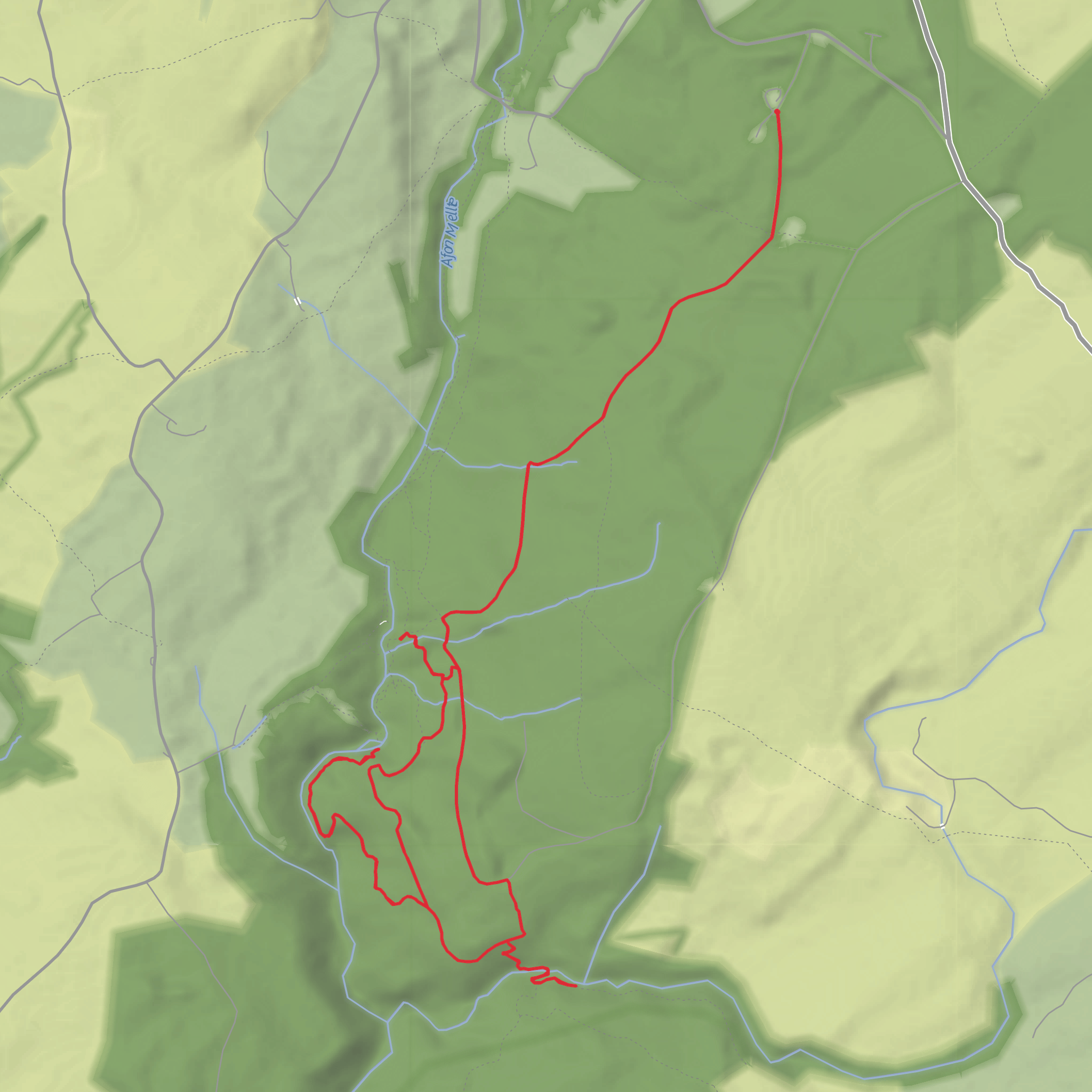
This is one of the classic waterfall walks in Waterfall Country, on the south-western side of Bannau Brycheiniog National Park, where the River Mellte and nearby rivers have cut steep, wooded gorges through layers of rock to create a chain of dramatic falls. The route is usually treated as a circular outing of about 9 km / 5.6 miles with roughly 300 m / 985 ft of ascent, and although the distance is modest, the terrain makes it feel more serious than the numbers suggest. Expect long flights of steps, wet rock, exposed tree roots, muddy woodland paths, and short steep climbs that can be slippery in any season. The overall difficulty sits well at medium, but it can feel harder after rain. (visitwales.com)
The most practical hike start for this version is the Cwm Porth / Porth-yr-Ogof area near Ystradfellte, with the nearest significant landmark being Cwm Porth Car Park, Ystradfellte, Aberdare CF44 9JF, beside Porth-yr-Ogof, the large cave entrance where the Mellte disappears underground. That gives you a much more useful start point than an incomplete trailhead reference, and it is one of the standard access points for the Four Falls area. Porth-yr-Ogof itself is a major landmark and one of the best-known cave entrances in Wales. (geolsoc.org.uk)
By car, most walkers approach from the A4059 or the Heads of the Valleys corridor and then follow minor roads toward Ystradfellte and Cwm Porth. Roads narrow considerably near the trailhead, so allow extra time for the final approach, especially on weekends and in holiday periods when Waterfall Country gets very busy. Parking arrangements can change, so it is worth checking current access details before setting out. (geolsoc.org.uk)
Public transport is possible, but it is not especially straightforward. The nearest practical public-transport hub is usually Neath, where bus services run toward Pontneddfechan; from there, walkers typically need a substantial road and trail approach or a taxi for the final section, depending on the exact start point chosen. There is a published 55 service between Neath and Pontneddfechan, but it does not place you directly at Cwm Porth, so this is a route that needs careful timing and planning. (firstbus.co.uk)
What the route feels like
From the Cwm Porth side, the walk begins with a strong sense of place: limestone country, dense woodland, and the sound of water never far away. Early on, the landscape already hints at why this area is so famous. The gorge system here is not open moorland walking; it is enclosed, humid, and often shaded, with paths weaving through trees and dropping toward the river on engineered steps and rough footpaths. Even in dry weather, the air around the falls can leave rock polished and slick.
The first major objective is usually Sgŵd Clun-Gwyn, reached after roughly 2 to 2.5 km / 1.2 to 1.6 miles, depending on the exact line taken from the car park. This is a broad, powerful waterfall rather than a narrow single plunge, and after wet weather it can be especially impressive. Not far beyond is Sgŵd Isaf Clun-Gwyn, the lower fall, where the river drops again through a more broken rocky setting. These two falls often come close together in walkers’ memories, but they have distinct character: the upper fall feels wider and more open, while the lower one tends to feel more enclosed and stepped. The Mellte valley section around them is one of the most atmospheric parts of the day. (visitwales.com)
Continuing on, the route works through woodland and riverside terrain toward Sgŵd-y-Pannwr, usually around the middle portion of the circuit. This waterfall descends over layered rock shelves and often looks more intricate than the earlier falls, especially when the water is moderate rather than in full spate. The name is commonly linked to fulling or wool washing, a reminder that these valleys were once working landscapes as well as scenic ones. (geoguide.scottishgeologytrust.org)
The best-known landmark is Sgŵd-yr-Eira, often reached after
What to expect?
Surfaces
Unknown
Gravel
Unpaved
Dirt
Wood
Comments and Reviews
User comments, reviews and discussions about the Sgŵd Clun-Gwyn, Sgŵd Isaf Clun-Gwyn, Sgŵd-y-Pannwr and Sgŵd-yr-Eira on the River Mellte, Wales.
average rating out of 5
0 rating(s)
