Download
3D Flyover
Add to list
More
2.2 km
~32 min
53 m
Loop
“A short, steady forest climb weaving through Roman history and shifting woodland moods.”
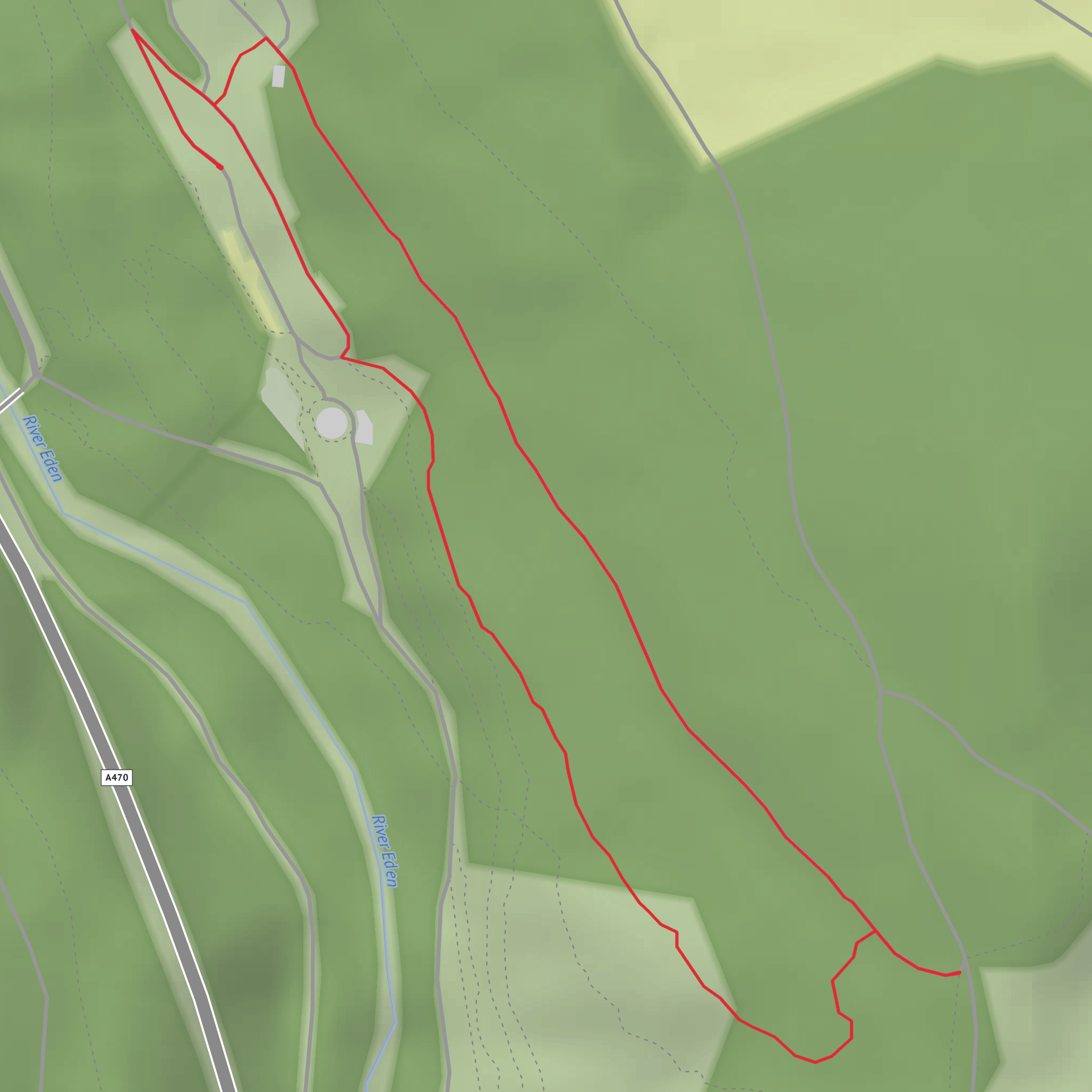
This short forest walk at Coed y Brenin is a compact but rewarding outing, ideal for hikers who want a steady climb, a sense of the area’s history, and broad woodland scenery without committing to a long day. Although your details suggest around 2 km and 100 metres of ascent, the official Cefndeuddwr Trail is generally listed at about 1.3 km to 1.7 km return, roughly 0.8 to 1 mile, starting from the Coed y Brenin Visitor Centre near Dolgellau. (naturalresourceswales.gov.uk)
The start point is best described as the Coed y Brenin Visitor Centre, near Dolgellau, Gwynedd, LL40 2HZ, just off the A470 between Dolgellau and Trawsfynydd. That is the main landmark hikers should use for navigation and parking. Coed y Brenin lies about 8 miles / 13 km north of Dolgellau. (naturalresourceswales.gov.uk)
Expect a medium-rated walk because, despite the short distance, the trail climbs onto the Cefndeuddwr ridge before returning to the visitor centre. The ascent is not huge, but on a route this short it can feel quite concentrated, especially if the ground is damp or if you are walking with children. Forest paths here can be uneven, with roots, loose gravel, and short steeper sections that demand a bit more care than the mileage alone suggests. The route is waymarked from the visitor centre area, and checking the route in HiiKER before setting out is useful for judging gradients and timing. (naturalresourceswales.gov.uk)
What the route feels like
From the visitor centre, the trail heads gradually into the forest and begins to gain height through mixed woodland. This is not a high mountain walk, but it gives a strong sense of being in one of Eryri’s great working forests. Over the first 0.5 km / 0.3 miles, the climbing is gentle to moderate, then the route continues upward toward the ridge. If your version of the walk comes out closer to 2 km / 1.25 miles with around 100 metres / 328 feet of ascent, that likely reflects small variations in how the route is tracked or whether short linking sections around the visitor centre are included.
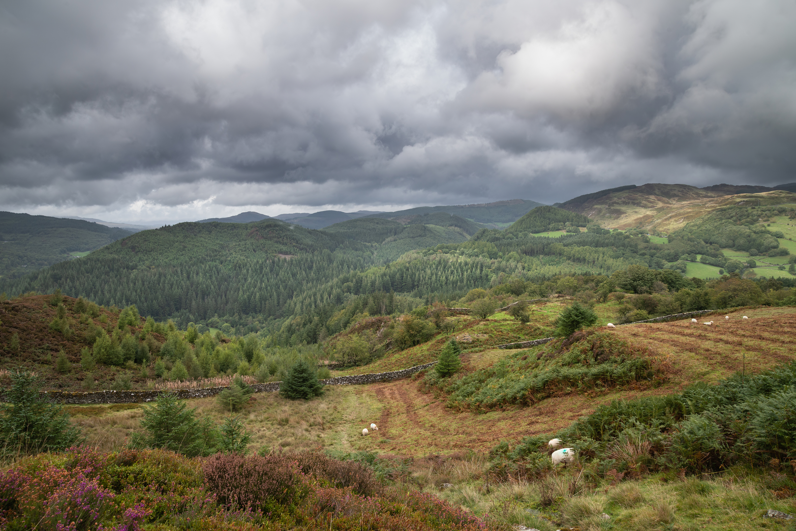
As the trail rises, the woodland becomes one of the main attractions. Coed y Brenin is known for its dense stands of conifers mixed with native broadleaf pockets, and the atmosphere can shift quickly with the weather: bright and airy in sunshine, darker and more enclosed in mist or rain. After wet weather, surfaces can be slick, so waterproof footwear with decent grip is a sensible choice even on such a short outing.
One of the most notable features on this walk is the meeting with Sarn Helen, the old Roman road that crosses the ridge. That gives the trail much of its historical interest. Sarn Helen was part of the Roman route network through Wales, and encountering it here adds a layer of depth to what might otherwise seem like a simple woodland circuit. Coed y Brenin itself means “King’s Forest,” reflecting the area’s long-standing importance as a managed landscape. (naturalresourceswales.gov.uk)
Landmarks, nature, and wildlife
The ridge section is the key landmark zone of the walk. Even where views are partly screened by trees, there is a noticeable change in character as you leave the lower forest and reach the higher contour. The Roman road is the standout historical feature, and it is worth slowing down here to appreciate that this landscape has been used for travel, forestry, and resource extraction for centuries. Across the wider forest park, interpretation and audio material focus on the area’s wildlife, trees, and history, which helps place this short trail in the broader story of Coed y Brenin. (naturalresourceswales.gov.uk)
Wildlife is typical of a large Welsh forest environment. Hikers should keep an eye out for woodland birds, especially tits, robins, wrens, and larger corvids, while buzzards may be seen or heard overhead. In quieter stretches, mammals such as squirrels are possible, and the damp forest habitat supports mosses, lichens, and fungi, especially in autumn. Because this is a managed forest park, the natural setting is shaped by forestry as well as ecology, so you get a mix of plantation structure, regenerating areas, and more varied woodland edges.
Planning and practicalities
For drivers, the easiest approach is via the A470, turning for the Coed y Brenin Visitor Centre. Parking is available at the visitor centre, including Blue Badge spaces. (naturalresourceswales.gov.uk)
For public transport, the area is more limited than a town-based trailhead. The nearest rail access commonly referenced for Coed y Brenin is Barmouth, after which onward travel requires bus or taxi connections toward Dolgellau and the forest park. Services can be infrequent, so it is important to check current timetables before travel.
What to expect?
Surfaces
Gravel
Unknown
Asphalt
Comments and Reviews
User comments, reviews and discussions about the The Cefndeuddwr Trail at Coed-y-Brenin, Wales.
average rating out of 5
0 rating(s)
