
Download
3D Flyover
Add to list
More
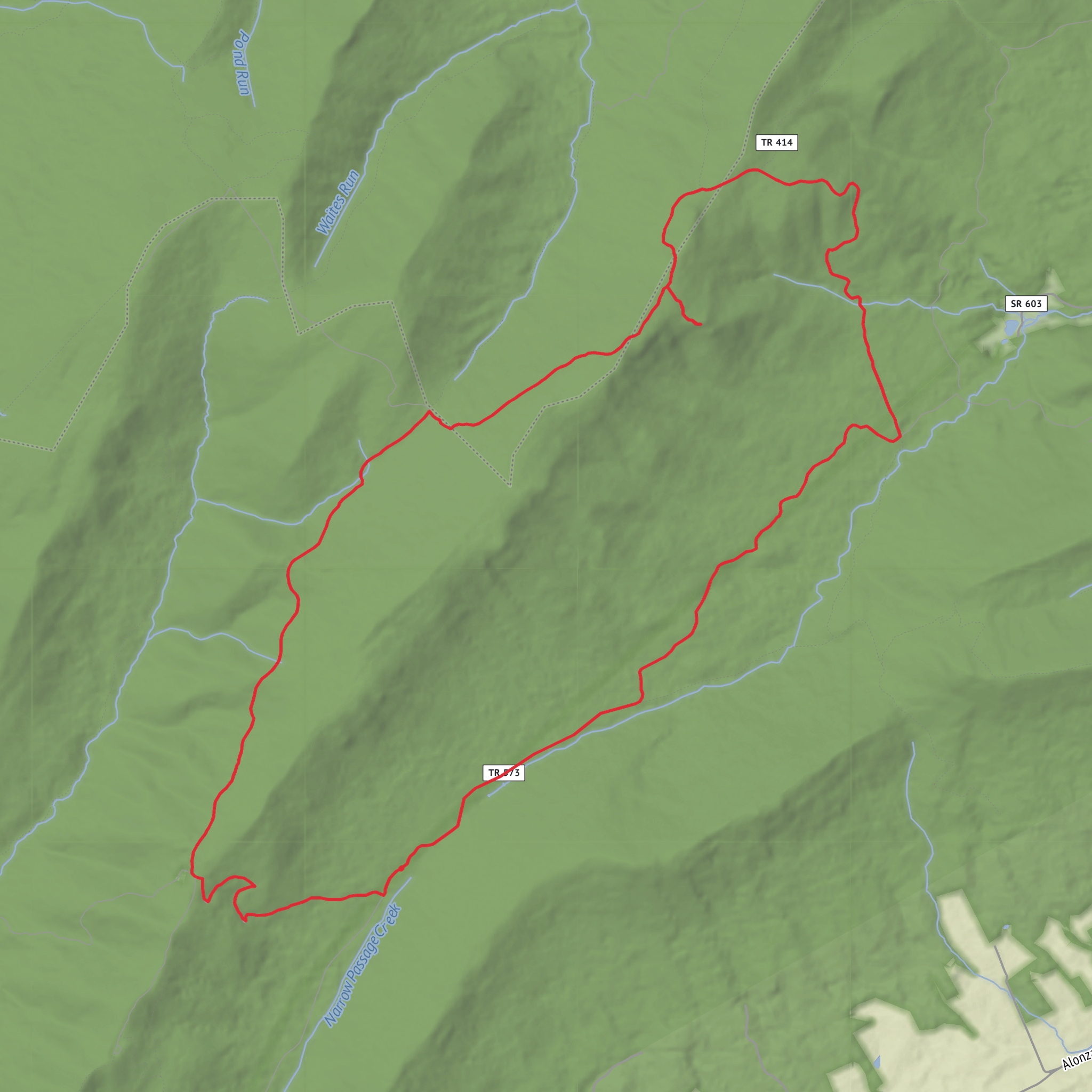
18.6 km
~4 hrs 42 min
593 m
Loop
“Share the trailhead and region, and I’ll craft a vivid, planning-ready Little Sluice Mountain hike story.”
I’m missing a few key specifics to make this accurate (especially the trailhead location), and “near” is currently blank. Share either a lon/lat for the start point or the nearest town/park/road name, and I’ll convert it to the nearest known address/landmark and write the full hike description.
To avoid sending you back-and-forth, please reply with any of the following (whatever you have):
1) Trailhead location
- GPS (preferred): e.g., 38.1234, -120.5678
or
- Nearest place name: town + state/province (e.g., “Foresthill, CA”)
2) Hike type - Loop / out-and-back / point-to-point (if you know)
3) Region confirmation - Is this the Little Sluice Mountain / White Rocks route in Northern California (Tahoe National Forest / Foresthill area), or a different Little Sluice Mountain elsewhere?
Once I have the start location, I’ll produce a planning-ready description for a ~19 km / ~11.8 mi hike with ~600 m / ~1,970 ft gain, including: - turn-by-turn expectations by distance (km/mi) and climbing (m/ft) - key landmarks (including the White Rocks area), terrain, water reliability, and seasonal considerations - likely wildlife and what to watch for - historical context for the region - how to reach the trailhead by car and public transport (where feasible) - navigation notes using HiiKER only
AI Planner
Days planned around your pace, with somewhere to stay each night.
Surfaces
Ground
Dirt
Unpaved
Unknown
Comments and Reviews
User comments, reviews and discussions about the Little Sluice Mountain and White Rocks Trail, Virginia.
average rating out of 5
0 rating(s)


