Download
3D Preview
Add to list
More
7.6 km
~1 hrs 47 min
161 m
Loop
“A ridge-rolling Appalachian Trail ramble from Wilson Gap to Blackburn, wildflower-bright and thoughtfully rocky.”
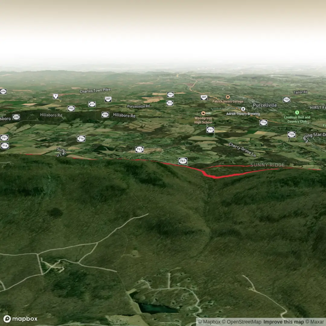
This medium-length out-and-back (or short point-to-point if you can stage a second car) links the Appalachian Trail corridor at Wilson Gap with the Blackburn Trail Center area, delivering a classic Blue Ridge walk: rolling ridge grades, oak–hickory woods, spring wildflowers, and a few rocky, foot-placement-focused stretches. At roughly 8 km / 5.0 mi with about 200 m / 656 ft of total climbing, it’s a solid half-day hike that feels “earned” without being a sufferfest—ideal when you want Appalachian Trail atmosphere and history without committing to the longer Rollercoaster miles.
Where you’re hiking (and why it matters)
Wilson Gap is a wind gap in the Blue Ridge on the Loudoun County, Virginia / Jefferson County, West Virginia line, sitting around 1,444 ft / 440 m in elevation. Historically, the gap functioned as a practical crossing route between communities on either side of the ridge (including connections from the Round Hill area toward Jefferson County resort communities) via what’s often referenced as Wilson Gap Road. (en.wikipedia.org)
The Blackburn Trail Center is closely tied to Appalachian Trail stewardship in Northern Virginia—used for trail crew housing, training, and PATC (Potomac Appalachian Trail Club) operations—so this hike also passes through a landscape shaped by decades of volunteer trail work and conservation management. (patc.net)
Getting to the start (car + public transport options)
Most practical start/finish landmark (car):
- Blackburn Trail Center, 34899 Appalachian Trail Road, Round Hill, VA 20141 (this is the nearest clear address-level landmark for the hike area). (mapcarta.com)
Expect a gravel access road; conditions can be rutted or bumpy at times, so drive slowly and avoid very low-clearance vehicles after heavy rain.
Public transport (realistic approach):
There isn’t convenient transit directly to the trailhead roads. The workable method is to take regional transit to the Purcellville / Round Hill area and then use a rideshare/taxi for the final rural miles to Appalachian Trail Road. If you’re planning this way, build in extra time and have a backup plan for pickup (cell service can be inconsistent in folds of the ridge).
Navigation: load the route on HiiKER before you arrive, and download offline maps. In this corridor, side paths, old road traces, and spur trails can make junctions feel less obvious than you’d expect.
On-trail: what to expect, kilometer by kilometer
Because “Wilson Gap and Blackburn Trail” is commonly walked as an out-and-back between Wilson Gap and the Blackburn Trail Center area, the simplest plan is: start at one end, hike to the other, then return the same way for ~8 km / 5 mi total.
0.0–1.5 km (0.0–0.9 mi): Settling into the ridge corridor
You’ll start with a gentle-to-moderate grade through mixed hardwood forest. Underfoot is typical Appalachian Trail tread: packed dirt with embedded rocks and occasional roots. After rain, the low spots can hold water and become slick—especially where the trail is slightly cupped from foot traffic.
1.5–3.5 km (0.9–2.2 mi): Rolling climbs and rocky footing
This is where most of your ~200 m / 656 ft of gain tends to accumulate in short pulses rather than one long climb. Expect:
- brief, steeper pitches where you’ll naturally slow down,
- rockier sections that reward deliberate foot placement,
- a few spots where erosion channels the trail—watch ankles on uneven steps.
3.5–4.0 km (2.2–2.5 mi): Approaching the Blackburn Trail Center vicinity
As you near the Blackburn area, you’re moving through a zone that sees regular maintenance and use by trail crews and hikers. The “feel” often shifts subtly—more signs of managed access and spur connections. If you’re aiming to tag the Blackburn Trail Center area as your turnaround, confirm the exact spur/junction on HiiKER so you don’t overshoot on the AT.
Turnaround and return (4.0–8.0 km / 2.5–5.0 mi): Same terrain, different effort
The return leg often feels faster, but the rocky bits can be trickier when you’re slightly fatigued. Keep a little in reserve for the final rolling rises

Surfaces
Unknown
Ground
Unpaved
Comments and Reviews
User comments, reviews and discussions about the Wilson Gap and Blackburn Trail, Virginia.
average rating out of 5
0 rating(s)