Download
3D Flyover
Add to list
More
11.2 km
~2 hrs 42 min
272 m
Loop
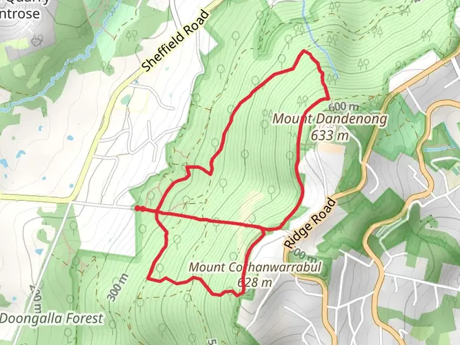
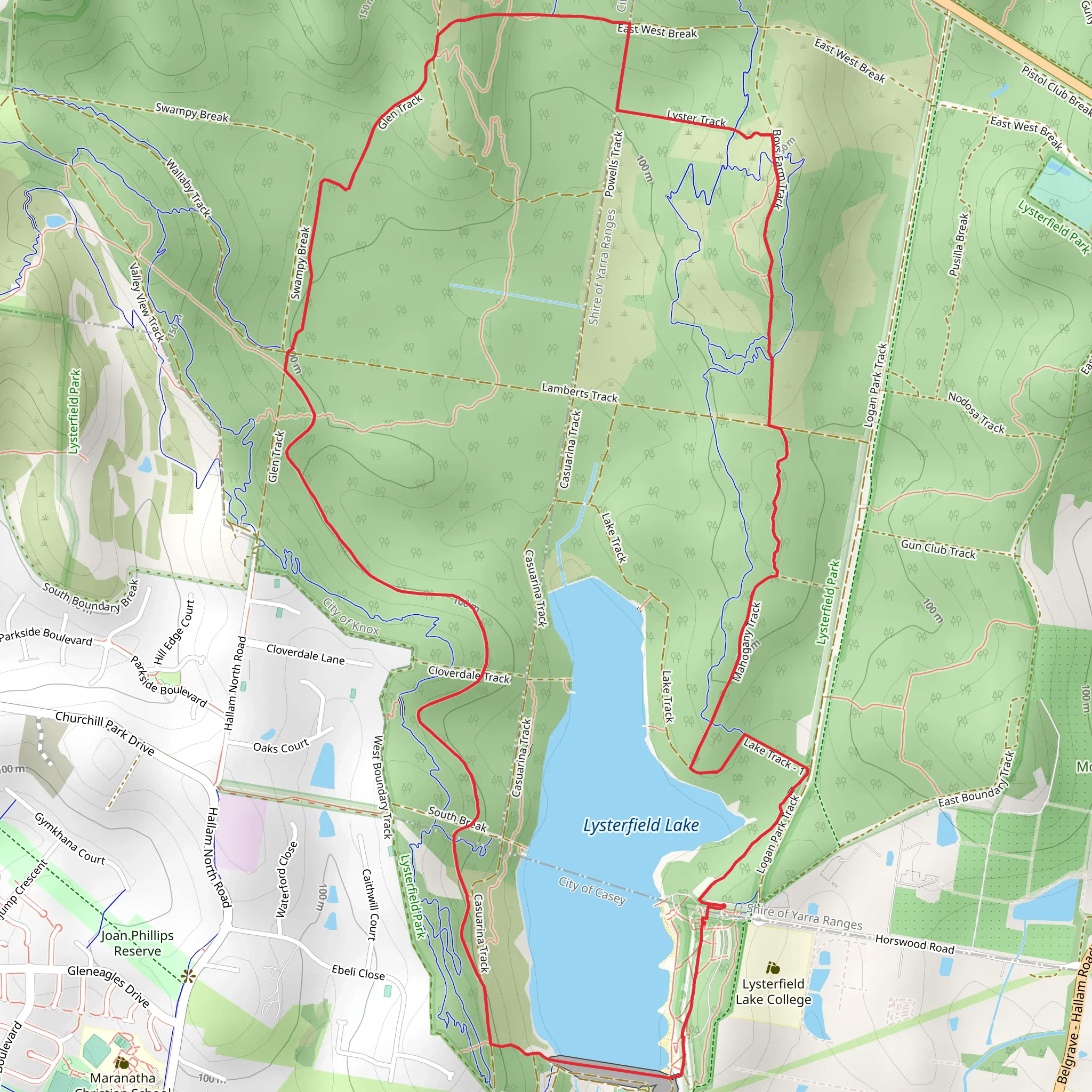
Embark on the "Lysterfield Park" hike– a medium difficulty trail spanning over 11.23 km and set to be tackled on December 13. Set aside about 162 minutes for this single-day exploration that begins and ends at the picturesque Lysterfield Park, Lysterfield, VIC, Australia. The trail flaunts an elevation gain of 273 m, boosting your endorphins and making your heart pump. All the while, it also descends about 328 m, offering a mix of uphill struggles and downhill strolls. Immerse yourself in the natural beauty of Lysterfield Park and exercise your hiking muscles with this invigorating adventure.
What to expect?
Surfaces
Gravel
Unknown
Unpaved
Ground
Dirt
Asphalt
Comments and Reviews
User comments, reviews and discussions about the Lysterfield Lake Loop, Victoria.
average rating out of 5
0 rating(s)