Download
3D Flyover
Add to list
More
2.8 km
~49 min
155 m
Loop
“A shady woodland climb culminates in Mount Olga’s fire tower, with sweeping southern Vermont rewards.”
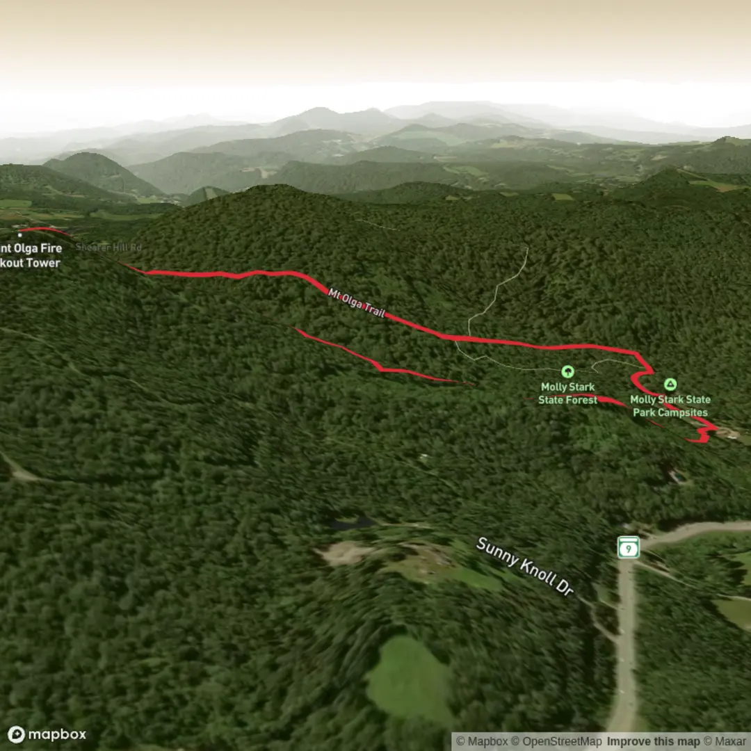
This short but satisfying climb leads through the woods of Molly Stark State Park to the summit of Mount Olga, where a historic fire tower delivers one of the better view-to-effort rewards in southern Vermont. At around 3 km / 1.8 miles for the loop, with roughly 200 metres / 650 feet of elevation gain, it fits well for hikers who want a half-day outing with a steady uphill, a bit of variety underfoot, and a broad summit panorama without committing to a long mountain day. Official park listings describe the Mt. Olga hike as a 1.70-mile loop with about 1.5 hours of hiking time, while other trail listings put it closer to 1.8 miles with roughly 518 feet of gain, so it is sensible to expect a route in that general range depending on exactly where you start and how you track it. (vtstateparks.com)
The hike starts at Molly Stark State Park, whose nearest known address is 705 Route 9 East, Wilmington, Vermont 05363. The park sits on the Molly Stark Trail Scenic Byway along Vermont Route 9, east of downtown Wilmington and on the main east–west road linking Brattleboro, Wilmington, and Bennington. If you are driving from Brattleboro, the standard approach is via I-91 Exit 2, then about 15 miles / 24 km west on VT Route 9 to the park entrance. Parking is typically at or near the main park area, and during the operating season day-use fees may apply. (vtstateparks.com)
Public transport is limited here. There is no widely documented direct bus stop at the trailhead itself in the park information, so most hikers should plan on arriving by car or arranging a taxi/rideshare from Wilmington or Brattleboro. Because this is a state park setting rather than a town-center trailhead, it is worth checking current local transit options before relying on public transportation. That is an inference based on the park’s access information and the lack of published trailhead transit details in the official park materials. (vtstateparks.com)
What the trail is like
From the park area, the route climbs through mixed woodland on a moderate grade. Expect a mostly shaded forest walk for much of the ascent, with the trail becoming steeper as it nears the summit. Some descriptions note that the route forms a loop with a short connector or spur to the summit tower, so the uphill can feel more direct on one side and more gradual on the return. The overall difficulty lands well in the medium range: short enough for many casual hikers, but steep enough in places to feel like a proper climb, especially after rain or during leaf-covered shoulder seasons. (visitvermont.com)
The first part of the walk is typically enclosed by hardwood and mixed forest, which keeps the route cooler in summer and colorful in autumn. Near the base, Beaver Brook crosses the area under a small footbridge, adding a pleasant water feature early in the hike. As you gain height, the forest begins to thin just enough to hint at the summit exposure ahead, and the final approach brings you to the fire tower and open views over the Deerfield Valley, Mount Snow, and surrounding southern Green Mountains. On clear days, the park trail guide notes views as far as Mount Monadnock in New Hampshire. (vtstateparks.com)
Because the route is short, hikers sometimes underestimate it. The climb is not especially technical, but the grade can be enough to raise the heart rate quickly. Good footwear is still worthwhile, especially if roots are damp, the trail is covered in fallen leaves, or there is lingering snow or ice outside peak season.
Landmarks, scenery, and what to watch for
The defining landmark is the Mount Olga fire tower at the summit. This is the main payoff of the hike and the reason many people choose the trail. The tower was moved to Mount Olga from Townshend State Park in 1955, and it remains one of the most distinctive historic structures on this short route. Views from the summit area are a major attraction, especially during fall foliage season when the surrounding hills and valleys turn bright with color. (vtstateparks.com)
The surrounding landscape is classic southern Vermont woodland, with mixed forest, seasonal wildflowers, and a cool, sheltered feel on the lower slopes. Beaver Brook adds some riparian habitat near the lower trail, and Vermont State Parks notes that lucky visitors may spot small trout in the brook’s pools. Wildlife in the broader area can include songbirds,

Surfaces
Unpaved
Unknown
Comments and Reviews
User comments, reviews and discussions about the Mt Olga Trail, Vermont.
average rating out of 5
0 rating(s)