Download
3D Flyover
Add to list
More
5.7 km
~1 hrs 44 min
357 m
Out and Back
“A punchy alpine climb with wildflower meadows, airy ridges, and summit views that feel hard-won.”
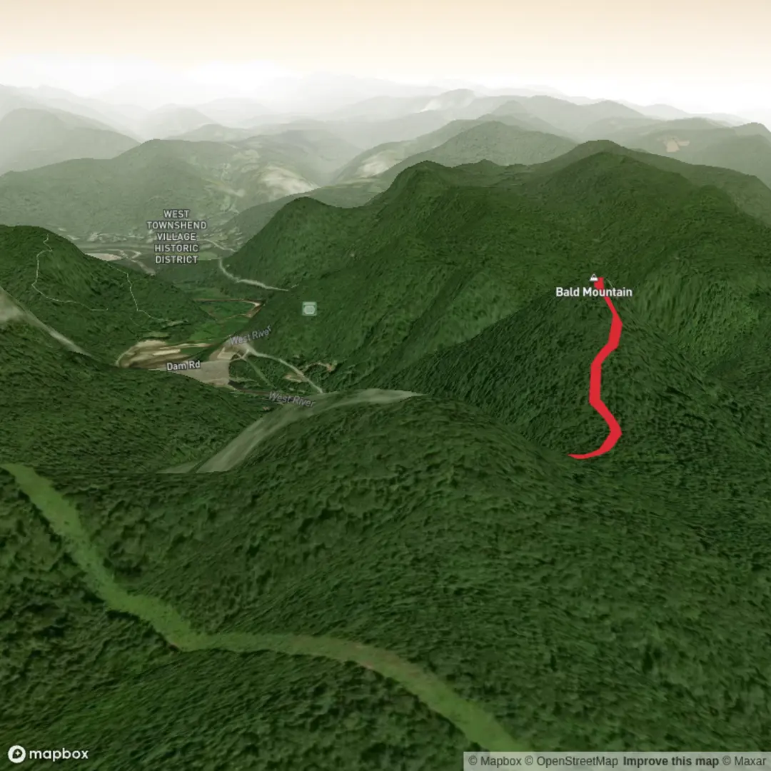
This short but demanding mountain hike packs a lot into roughly 6 km (about 3.7 miles) round trip, with around 400 m (about 1,300 ft) of climbing. The route is best understood as a high-elevation out-and-back to Bald Mountain in Utah’s Uinta Mountains, beginning near the Bald Mountain Pass Trailhead and Picnic Site off Mirror Lake Highway, close to the Bald Mountain Overlook and about 29–30 miles east of Kamas. The nearest significant landmark for the start is the Bald Mountain Pass Trailhead & Picnic Site, at approximately 40.687417, -110.904354, on Forest Road 102 just off UT-150. (fs.usda.gov)
The climb starts high, so even though the mileage is modest, it rarely feels easy. The trailhead already sits at alpine elevation, and the route rises quickly toward Bald Mountain’s summit ridge. HiiKER lists the hike at about 4.3 km (2.7 miles) with 367 m (1,204 ft) of ascent, while Utah tourism information describes it as about 5 miles (8 km) round trip with a summit at 11,943 ft; your stated 6 km and 400 m fits well as a practical planning estimate depending on exactly where you begin and how your device records the route. (hiiker.app)
What the trail is like
From the trailhead, the path begins climbing almost immediately. Early on, the grade is steady rather than gentle, and the thin air is often the first challenge hikers notice. At this elevation, strong hikers at lower altitudes can still find themselves breathing hard much sooner than expected. The tread is generally clear, but it becomes rockier and more exposed as you gain height. Switchbacks help with the ascent, though they do not remove the effort. (hiiker.app)
As you move higher, the forest begins to thin and the route opens into classic Uinta scenery: scattered conifers, alpine meadows, exposed rock, and broad views over lakes and ridgelines. Near the upper mountain, the trail follows a narrower ridge section with steep drop-offs to either side. This is one of the most memorable parts of the hike, but it is also where people need to stay focused, especially in wind, rain, or if there is any lingering snow. Utah’s official hike description specifically warns that the east-side cliff edges can break away and that the mountain should be avoided when lightning is possible. (visitutah.com)
The final approach feels bigger than the numbers suggest. Expect a rocky, stair-step finish rather than a smooth walk-up. The summit rewards the effort with expansive views across the High Uintas, including lakes, timbered basins, and major drainage systems. On a clear day, this is one of those hikes where the panorama arrives early and keeps improving almost every few hundred metres. (visitutah.com)
Landmarks, scenery, and what to watch for
One of the defining features of this route is how quickly it transitions from subalpine forest into open, high-country terrain. Lower down, look for Engelmann spruce and subalpine fir, with summer wildflowers appearing in meadows and along open slopes. Higher up, the landscape becomes more rugged and windswept, with exposed stone and a more tundra-like feel near the top. HiiKER notes meadow sections, switchbacks, scenic views, forest, lakes, wildflowers, and wildlife as key features of the route. (hiiker.app)
Wildlife sightings can include mule deer, pikas, and alpine birdlife. In open country, birds such as Clark’s nutcrackers and raptors may be seen riding thermals. As always in alpine terrain, wildlife is best appreciated from a distance, and food should be secured so animals do not become habituated. (hiiker.app)
Because the trail is exposed, weather is the main hazard. Afternoon thunderstorms are a serious concern in the Uintas, particularly in summer. Wind chill can also be surprisingly sharp even on warm valley days. If clouds begin building, especially with thunder in the distance, this is not a peak to linger on. Snow patches can persist into early season, and the ridge can feel much more serious when wet or icy. (visitutah.com)
Difficulty and preparation

Surfaces
Unpaved
Unknown
Comments and Reviews
User comments, reviews and discussions about the Bald Mountain, Vermont.
average rating out of 5
0 rating(s)